Unconfined Aquifer Groundwater Contour Maps 1949
Contour maps for: <1948 | 1950>
Home |
RGWCD Unconfined Map/List
Confined Map/List
Divide Study Map/List
Upper Rio Grande Map/List
CWCD Map/List
USGS Map/List
USBR Map/List
Dunes Study Map/List
GSDNP Boundary Map/List
Recently Monitored Map/List
Unconfined Map/List
Confined Map/List
SUMMER 1949 (Apr-Sep)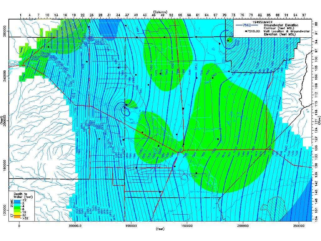
|
WINTER 1949 (Oct-Mar)
|
Home | Top-of-Page | Contour maps for: <1948 | 1950>