| Well Information Table |
|---|
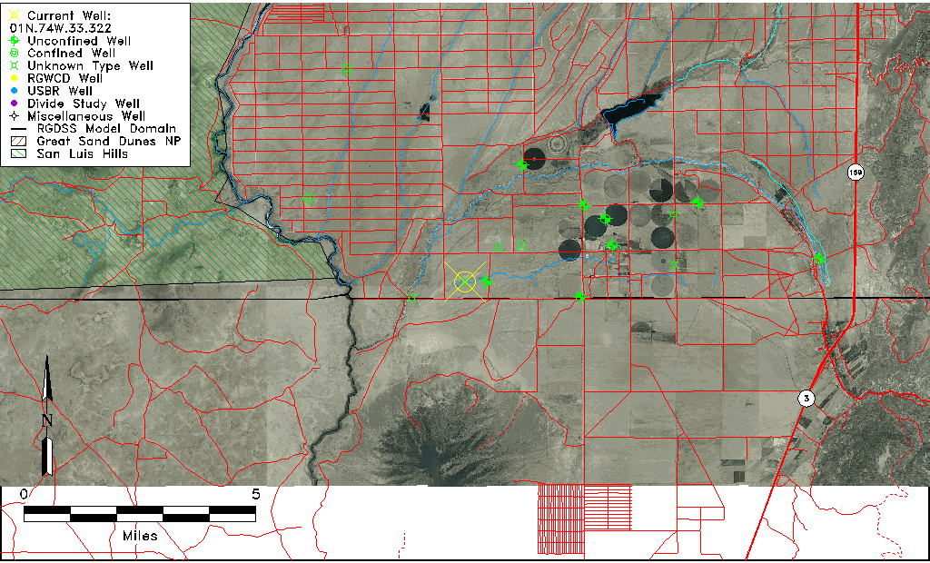
| Common Well ID | 01N.74W.33.322 |
| USGS Well ID | 370004105402201 |
| USGS Station Name | 01N.74W.33.322 |
| USGS Site Type | Well |
| USGS Site Use Information | Unknown |
| USGS Groundwater Use Information | Unknown |
| Data Source(s) | USGS |
| Location Data |
|---|
| TRS | 01N.74W.33.322 |
| USGS TRS 1 | 01N.74W.33.322 |
| USGS TRS | NENESWS33 T01N R74W |
| Longitude/Latitude (NAD83) | -105.67334640 , 37.00113069 |
| Longitude/Latitude Data Source | GWSI decimal LAT/LONG field |
| USGS Longitude/Latitude (NAD83) | -105.6733464 , 37.00113069 |
| Easting, Northing RGDSS-NAD83 (US ft) | 200214.61 , 1930.17 |
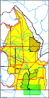
| USGS County | Costilla County |
| Elevation and Depth Data |
|---|
| Ground Elevation (ft NAVD88) | 7493.00000000000 |
| Elevation Data Source | USGS GWSI database |
| USGS Ground Elevation (ft NAVD88) | 7493.00 |
| 1/3-Arc Second NED Ground Elevation (ft NAVD88) | 7494.31 |
| 1-Arc Second NED Ground Elevation (ft NAVD88) | 7495.28 |
| SRTM Ground Elevation (ft NAVD88) | 7499.85 |
| Depth of Bottom of Layer 1 | 250 |
| Depth of Bottom of Layer 2 | 350 |
| Depth of Bottom of Layer 3 | 453 |
| Depth of Bottom of Layer 4 | 1054 |
| Additional Well Information | NONE |
| Aquifer Information |
|---|
| Aquifer Type | Unknown |
| Aquifer Type Source | None |
| USGS Hydrologic Unit | Upper Rio Grande |
| USGS Data Available | Water-level (GW.LEV) |
| Water-level Database Information |
|---|
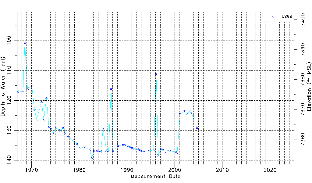
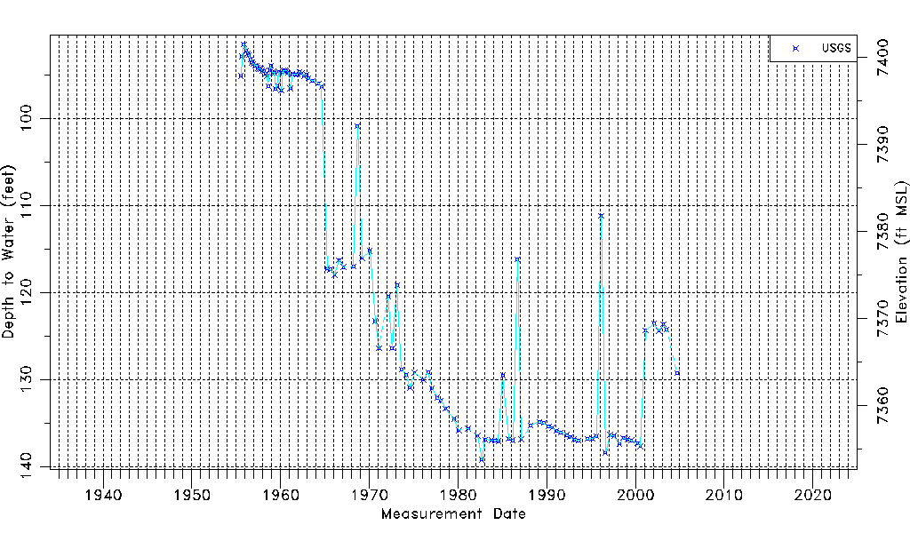
| Water-level Count | 112 |
| Water-level Date Range | 07/15/1955 thru 09/07/2004 |
| Monitored within the last 18 months | No, most recently on 09/07/2004 |
| Depth-to-Water Range (ft) | 91.46 to 139.24 |
| Water Table Elevation Range (ft NAVD88) | 7353.76 to 7401.54 |
| Water-Level-Source:Number-of-Measurements | USGSaguache Creek:112 |