| Well Information Table |
|---|
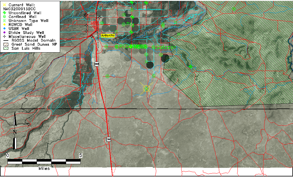
| Common Well ID | NA03200913BCC |
| USGS Well ID | 370056105564301 |
| USGS Station Name | NA03200913BCC |
| USGS Construction Date | 09/25/1982 |
| USGS Site Type | Well |
| USGS Site Use Information | Withdrawal of Water |
| USGS Groundwater Use Information | Stock |
| Data Source(s) | USGS |
| Location Data |
|---|
| TRS | NA03200913BCC |
| USGS TRS 1 | NA03200913BCC |
| Longitude/Latitude (NAD83) | -105.94585270 , 37.01557030 |
| Longitude/Latitude Data Source | GWSI decimal LAT/LONG field |
| USGS Longitude/Latitude (NAD83) | -105.9458527 , 37.01557030 |
| Easting, Northing RGDSS-NAD83 (US ft) | 120676.70 , 7295.92 |
| USGS Topography | Valley flat |
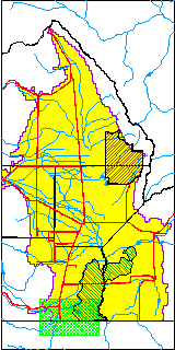
| USGS County | Conejos County |
| USGS Map Name | LABATOS, COLO. |
| USGS Map Scale | 24000 |
| Elevation and Depth Data |
|---|
| Ground Elevation (ft NAVD88) | 7869.07000000000 |
| Elevation Data Source | USGS GWSI database |
| USGS Ground Elevation (ft NGVD29) | 7865.00 |
| 1/3-Arc Second NED Ground Elevation (ft NAVD88) | 7867.89 |
| 1-Arc Second NED Ground Elevation (ft NAVD88) | 7870.04 |
| SRTM Ground Elevation (ft NAVD88) | 7870.78 |
| Total Depth (ft) | 337.00 |
| USGS Hole Depth (ft) | 337.00 |
| USGS Well Depth (ft) | 337.00 |
| Model Layer | 3 |
| Model Layer Source | Well Depth |
| Depth of Bottom of Layer 2 | 219 |
| Depth of Bottom of Layer 3 | 405 |
| Depth of Bottom of Layer 4 | 1626 |
| Additional Well Information | Production, Logs, Construction |
| Aquifer Information |
|---|
| Aquifer Type | Confined |
| Aquifer Type Source | TD Elevation/Model Layer |
| USGS Hydrologic Unit | Alamosa-Trinchera |
| USGS Data Available | Water-level (GW.LEV) |
| Water-level Database Information |
|---|
| Water-level Count | 1 |
| Water-level Date Range | 10/01/1982 thru 10/01/1982 |
| Monitored within the last 18 months | No, most recently on 10/01/1982 |
| Depth-to-Water Range (ft) | 293.74 to 293.74 |
| Water Table Elevation Range (ft NAVD88) | 7575.33 to 7575.33 |
| Water-Level-Source:Number-of-Measurements | USGS:1 |