| Well Information Table |
|---|
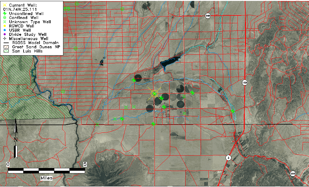
| Common Well ID | 01N.74W.25.111 |
| USGS Well ID | 370130105373501 |
| USGS Station Name | 01N.74W.25.111 |
| USGS Site Type | Well |
| USGS Site Use Information | Unknown |
| USGS Groundwater Use Information | Unknown |
| Data Source(s) | USGS |
| Location Data |
|---|
| TRS | 01N.74W.25.111 |
| USGS TRS 1 | 01N.74W.25.111 |
| USGS TRS | NWNWNWS25 T01N R74W |
| Longitude/Latitude (NAD83) | -105.62695680 , 37.02501934 |
| Longitude/Latitude Data Source | GWSI decimal LAT/LONG field |
| USGS Longitude/Latitude (NAD83) | -105.6269568 , 37.02501934 |
| Easting, Northing RGDSS-NAD83 (US ft) | 213752.17 , 10628.85 |
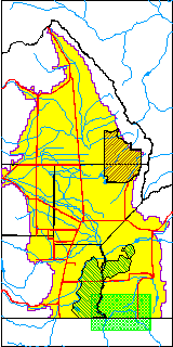
| USGS County | Costilla County |
| USGS Map Name | SKY VALLEY RANCH, CO |
| USGS Map Scale | 24000 |
| Elevation and Depth Data |
|---|
| Ground Elevation (ft NAVD88) | 7572.16000000000 |
| Elevation Data Source | USGS GWSI database |
| USGS Ground Elevation (ft NGVD29) | 7568.00 |
| 1/3-Arc Second NED Ground Elevation (ft NAVD88) | 7569.98 |
| 1-Arc Second NED Ground Elevation (ft NAVD88) | 7568.85 |
| SRTM Ground Elevation (ft NAVD88) | 7575.45 |
| Total Depth (ft) | 255.00 |
| USGS Well Depth (ft) | 255.00 |
| Model Layer | 1 |
| Model Layer Source | Well Depth |
| Depth of Bottom of Layer 1 | 293 |
| Depth of Bottom of Layer 2 | 393 |
| Depth of Bottom of Layer 3 | 492 |
| Depth of Bottom of Layer 4 | 1070 |
| Additional Well Information | NONE |
| Aquifer Information |
|---|
| Aquifer Type | Unconfined |
| Aquifer Type Source | TD Elevation/Model Layer |
| USGS Hydrologic Unit | Upper Rio Grande |
| USGS Data Available | Water-level (GW.LEV) |
| Water-level Database Information |
|---|
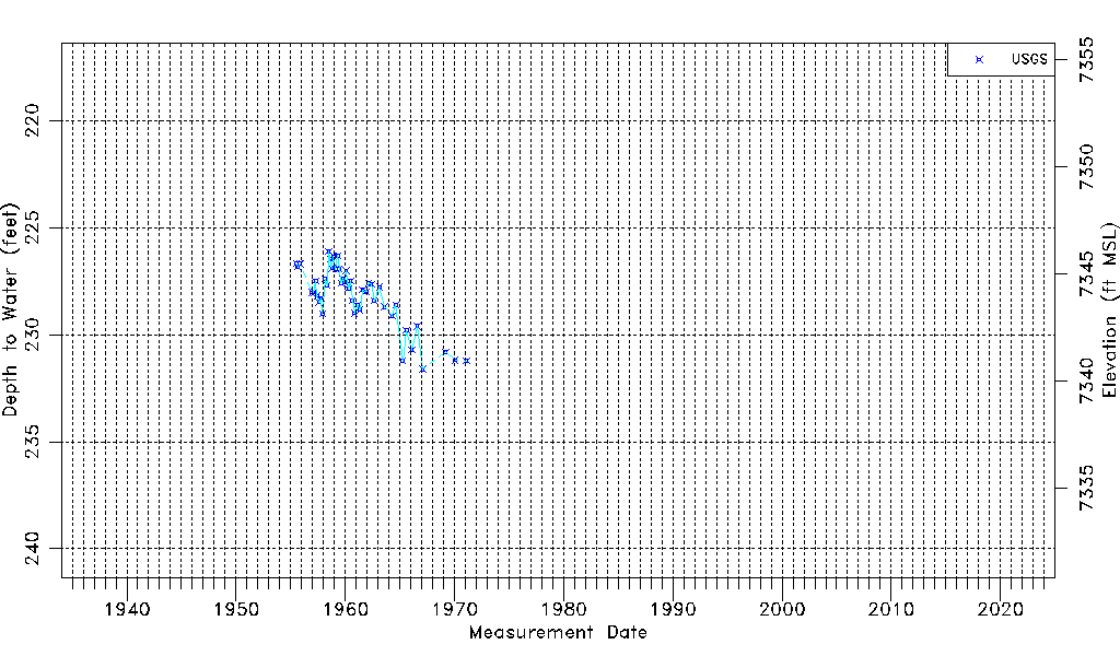
| Water-level Count | 47 |
| Water-level Date Range | 07/11/1955 thru 02/03/1971 |
| Monitored within the last 18 months | No, most recently on 02/03/1971 |
| Depth-to-Water Range (ft) | 226.10 to 231.61 |
| Water Table Elevation Range (ft NAVD88) | 7340.55 to 7346.06 |
| Water-Level-Source:Number-of-Measurements | USGS:47 |