| Well Information Table |
|---|
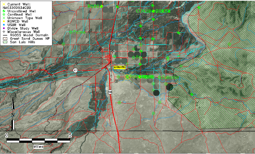
| Common Well ID | NA03300934CBB |
| USGS Well ID | 370325105585601 |
| USGS Station Name | NA03300934CBB |
| USGS Site Type | Well |
| USGS Site Use Information | Observation |
| USGS Groundwater Use Information | Irrigation |
| Data Source(s) | USGS |
| Location Data |
|---|
| TRS | NA03300934CBB |
| USGS TRS 1 | NA03300934CBB |
| Longitude/Latitude (NAD83) | -105.98279850 , 37.05695760 |
| Longitude/Latitude Data Source | GWSI decimal LAT/LONG field |
| USGS Longitude/Latitude (NAD83) | -105.9827985 , 37.05695760 |
| Easting, Northing RGDSS-NAD83 (US ft) | 109941.28 , 22392.88 |
| USGS Topography | Valley flat |
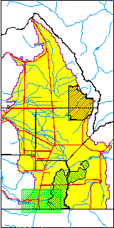
| USGS County | Conejos County |
| USGS Map Name | LOBATOS, CO. |
| USGS Map Scale | 24000 |
| Elevation and Depth Data |
|---|
| Ground Elevation (ft NAVD88) | 7845.06000000000 |
| Elevation Data Source | USGS GWSI database |
| USGS Ground Elevation (ft NGVD29) | 7841.00 |
| 1/3-Arc Second NED Ground Elevation (ft NAVD88) | 7844.49 |
| 1-Arc Second NED Ground Elevation (ft NAVD88) | 7845.22 |
| SRTM Ground Elevation (ft NAVD88) | 7848.00 |
| Total Depth (ft) | 237.00 |
| USGS Hole Depth (ft) | 237.00 |
| USGS Well Depth (ft) | 237.00 |
| Model Layer | 3 |
| Model Layer Source | Well Depth |
| Depth of Bottom of Layer 1 | 40 |
| Depth of Bottom of Layer 2 | 97 |
| Depth of Bottom of Layer 3 | 277 |
| Depth of Bottom of Layer 4 | 1522 |
| Additional Well Information | Logs, Construction |
| Aquifer Information |
|---|
| Aquifer Type | Confined |
| Aquifer Type Source | TD Elevation/Model Layer |
| USGS Hydrologic Unit | Alamosa-Trinchera |
| USGS Data Available | Water-level (GW.LEV) |
| Water-level Database Information |
|---|
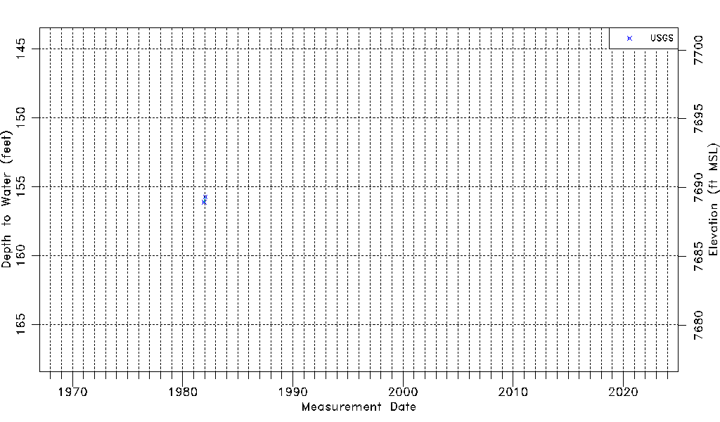
| Water-level Count | 2 |
| Water-level Date Range | 12/15/1981 thru 01/22/1982 |
| Monitored within the last 18 months | No, most recently on 01/22/1982 |
| Depth-to-Water Range (ft) | 155.73 to 156.12 |
| Water Table Elevation Range (ft NAVD88) | 7688.94 to 7689.33 |
| Water-Level-Source:Number-of-Measurements | USGS:2 |