| Well Information Table |
|---|
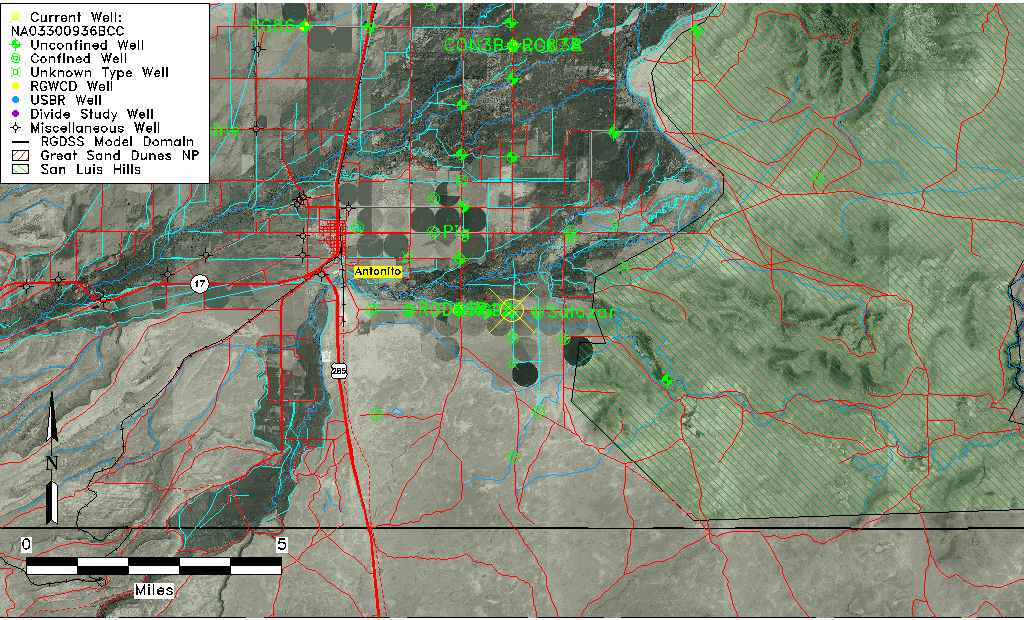
| Common Well ID | NA03300936BCC |
| USGS Well ID | 370326105564501 |
| USGS Station Name | NA03300936BCC |
| USGS Construction Date | 01/01/1974 |
| USGS Site Type | Well |
| USGS Site Use Information | Observation |
| USGS Groundwater Use Information | Unused |
| Data Source(s) | USGS |
| Location Data |
|---|
| TRS | NA03300936BCC |
| USGS TRS 1 | NA03300936BCC |
| USGS TRS | SWSWNWS036T0033NR0009EN |
| Longitude/Latitude (NAD83) | -105.94640880 , 37.05723599 |
| Longitude/Latitude Data Source | GWSI decimal LAT/LONG field |
| USGS Longitude/Latitude (NAD83) | -105.9464088 , 37.05723599 |
| Easting, Northing RGDSS-NAD83 (US ft) | 120557.27 , 22462.11 |
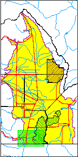
| USGS County | Conejos County |
| Elevation and Depth Data |
|---|
| Ground Elevation (ft NAVD88) | 7795.01000000000 |
| Elevation Data Source | USGS GWSI database |
| USGS Ground Elevation (ft NGVD29) | 7791.00 |
| 1/3-Arc Second NED Ground Elevation (ft NAVD88) | 7794.11 |
| 1-Arc Second NED Ground Elevation (ft NAVD88) | 7794.53 |
| SRTM Ground Elevation (ft NAVD88) | 7798.41 |
| Total Depth (ft) | 44.00 |
| USGS Well Depth (ft) | 44.00 |
| Model Layer | 2 |
| Model Layer Source | Well Depth |
| Depth of Bottom of Layer 1 | 35 |
| Depth of Bottom of Layer 2 | 127 |
| Depth of Bottom of Layer 3 | 310 |
| Depth of Bottom of Layer 4 | 1629 |
| Additional Well Information | Geohydrology, Construction |
| Aquifer Information |
|---|
| Aquifer Type | Confined |
| Aquifer Type Source | TD Elevation/Model Layer |
| USGS Primary Aquifer | Alluvium,flood Plain |
| USGS Hydrologic Unit | Alamosa-Trinchera |
| USGS Data Available | Water-level (GW.LEV) |
| Water-level Database Information |
|---|
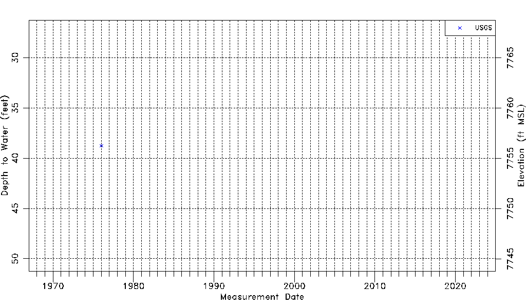
| Water-level Count | 1 |
| Water-level Date Range | 01/07/1976 thru 01/07/1976 |
| Monitored within the last 18 months | No, most recently on 01/07/1976 |
| Depth-to-Water Range (ft) | 38.75 to 38.75 |
| Water Table Elevation Range (ft NAVD88) | 7756.26 to 7756.26 |
| Water-Level-Source:Number-of-Measurements | USGS:1 |