| Well Information Table |
|---|
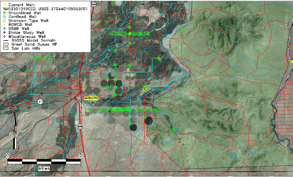
| Common Well ID | NA03301019CCD USGS 370440105553001 |
| USGS Well ID | 370440105553001 |
| USGS Station Name | NA03301019CCD USGS 370440105553001 |
| USGS Construction Date | 01/01/1952 |
| USGS Site Type | Well |
| USGS Site Use Information | Unused |
| USGS Groundwater Use Information | Unused |
| Data Source(s) | USGS |
| Location Data |
|---|
| TRS | NA03301019CCD USGS 370440105553001 |
| USGS TRS 1 | NA03301019CCD USGS 370440105553001 |
| USGS TRS | SESWSWS019T0033NR0010EN |
| Longitude/Latitude (NAD83) | -105.92557540 , 37.07779137 |
| Longitude/Latitude Data Source | GWSI decimal LAT/LONG field |
| USGS Longitude/Latitude (NAD83) | -105.9255754 , 37.07779137 |
| Easting, Northing RGDSS-NAD83 (US ft) | 126654.37 , 29927.45 |
| USGS Topography | Valley flat |
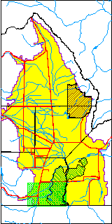
| USGS County | Conejos County |
| Elevation and Depth Data |
|---|
| Ground Elevation (ft NAVD88) | 7763.99000000000 |
| Elevation Data Source | USGS GWSI database |
| USGS Ground Elevation (ft NGVD29) | 7760.00 |
| 1/3-Arc Second NED Ground Elevation (ft NAVD88) | 7765.93 |
| 1-Arc Second NED Ground Elevation (ft NAVD88) | 7764.14 |
| SRTM Ground Elevation (ft NAVD88) | 7765.28 |
| Total Depth (ft) | 251.00 |
| USGS Well Depth (ft) | 251.00 |
| Model Layer | 3 |
| Model Layer Source | Well Depth |
| Depth of Bottom of Layer 1 | 35 |
| Depth of Bottom of Layer 2 | 141 |
| Depth of Bottom of Layer 3 | 307 |
| Depth of Bottom of Layer 4 | 1599 |
| Additional Well Information | Geohydrology, Construction |
| Aquifer Information |
|---|
| Aquifer Type | Confined |
| Aquifer Type Source | TD Elevation/Model Layer |
| USGS Primary Aquifer | Cenozoic Erathem |
| USGS Hydrologic Unit | Conejos |
| USGS Data Available | Water-level (GW.LEV) |
| Water-level Database Information |
|---|
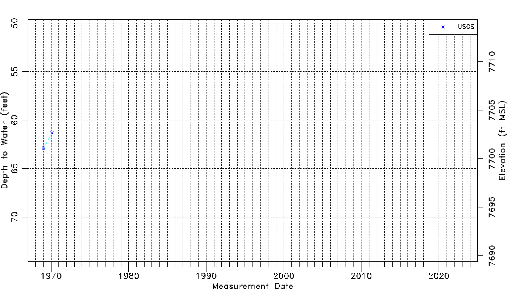
| Water-level Count | 2 |
| Water-level Date Range | 01/20/1969 thru 02/17/1970 |
| Monitored within the last 18 months | No, most recently on 02/17/1970 |
| Depth-to-Water Range (ft) | 61.30 to 62.90 |
| Water Table Elevation Range (ft NAVD88) | 7701.09 to 7702.69 |
| Water-Level-Source:Number-of-Measurements | USGS:2 |