| Well Information Table |
|---|
| Common Well ID | NA03301019CCD USGS 370447105553101 |
| USGS Well ID | 370447105553101 |
| USGS Station Name | NA03301019CCD USGS 370447105553101 |
| USGS Site Type | Well |
| USGS Site Use Information | Observation |
| USGS Groundwater Use Information | Irrigation |
| Data Source(s) | USGS |
| Location Data |
|---|
| TRS | NA03301019CCD USGS 370447105553101 |
| USGS TRS 1 | NA03301019CCD USGS 370447105553101 |
| Longitude/Latitude (NAD83) | -105.92585320 , 37.07973577 |
| Longitude/Latitude Data Source | GWSI decimal LAT/LONG field |
| USGS Longitude/Latitude (NAD83) | -105.9258532 , 37.07973577 |
| Easting, Northing RGDSS-NAD83 (US ft) | 126575.21 , 30635.40 |
| USGS Topography | Valley flat |
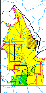
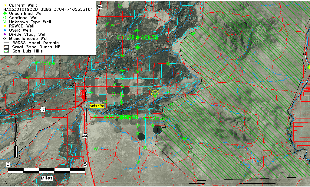
| USGS County | Conejos County |
| USGS Map Name | LOBATOS,CO. |
| USGS Map Scale | 24000 |
| Elevation and Depth Data |
|---|
| Ground Elevation (ft NAVD88) | 7763.99000000000 |
| Elevation Data Source | USGS GWSI database |
| USGS Ground Elevation (ft NGVD29) | 7760.00 |
| 1/3-Arc Second NED Ground Elevation (ft NAVD88) | 7764.66 |
| 1-Arc Second NED Ground Elevation (ft NAVD88) | 7763.66 |
| SRTM Ground Elevation (ft NAVD88) | 7765.52 |
| Total Depth (ft) | 136.00 |
| USGS Well Depth (ft) | 136.00 |
| Model Layer | 2 |
| Model Layer Source | Well Depth |
| Depth of Bottom of Layer 1 | 36 |
| Depth of Bottom of Layer 2 | 143 |
| Depth of Bottom of Layer 3 | 308 |
| Depth of Bottom of Layer 4 | 1600 |
| Additional Well Information | NONE |
| Aquifer Information |
|---|
| Aquifer Type | Confined |
| Aquifer Type Source | TD Elevation/Model Layer |
| USGS Hydrologic Unit | Conejos |
| USGS Data Available | Water-level (GW.LEV) |
| Water-level Database Information |
|---|
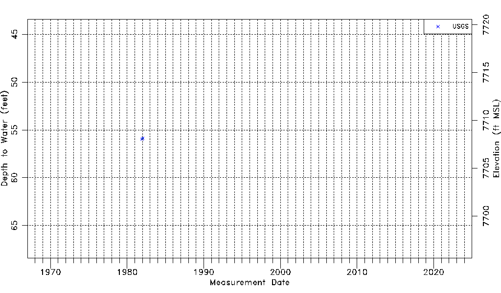
| Water-level Count | 2 |
| Water-level Date Range | 12/15/1981 thru 01/22/1982 |
| Monitored within the last 18 months | No, most recently on 01/22/1982 |
| Depth-to-Water Range (ft) | 55.85 to 55.95 |
| Water Table Elevation Range (ft NAVD88) | 7708.04 to 7708.14 |
| Water-Level-Source:Number-of-Measurements | USGS:2 |