| Well Information Table |
|---|
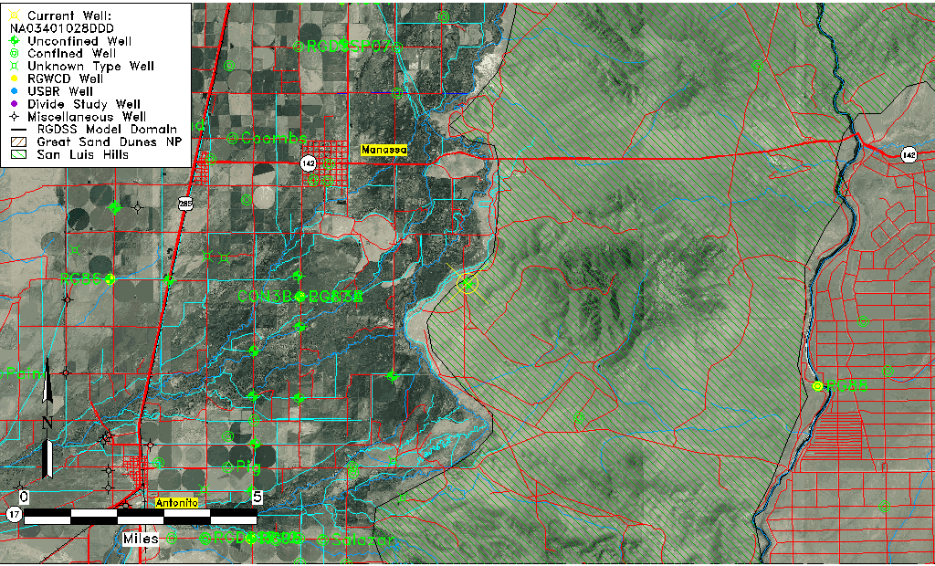
| Common Well ID | NA03401028DDD |
| USGS Well ID | 370812105525101 |
| USGS Station Name | NA03401028DDD |
| USGS Construction Date | 01/01/1966 |
| USGS Site Type | Well |
| USGS Site Use Information | Observation |
| USGS Groundwater Use Information | Unused |
| Data Source(s) | USGS |
| Location Data |
|---|
| TRS | NA03401028DDD |
| USGS TRS 1 | NA03401028DDD |
| USGS TRS | SESESES028T0034NR0010EN |
| Longitude/Latitude (NAD83) | -105.88140860 , 37.13667939 |
| Longitude/Latitude Data Source | GWSI decimal LAT/LONG field |
| USGS Longitude/Latitude (NAD83) | -105.8814086 , 37.13667939 |
| Easting, Northing RGDSS-NAD83 (US ft) | 139581.47 , 51331.18 |
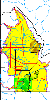
| USGS County | Conejos County |
| Elevation and Depth Data |
|---|
| Ground Elevation (ft NAVD88) | 7678.98000000000 |
| Elevation Data Source | USGS GWSI database |
| USGS Ground Elevation (ft NGVD29) | 7675.00 |
| 1/3-Arc Second NED Ground Elevation (ft NAVD88) | 7742.82 |
| 1-Arc Second NED Ground Elevation (ft NAVD88) | 7740.49 |
| SRTM Ground Elevation (ft NAVD88) | 7745.39 |
| Total Depth (ft) | 18.00 |
| USGS Well Depth (ft) | 18.00 |
| Model Layer | 1 |
| Model Layer Source | Well Depth |
| Depth of Bottom of Layer 1 | 41 |
| Depth of Bottom of Layer 2 | 172 |
| Depth of Bottom of Layer 3 | 343 |
| Depth of Bottom of Layer 4 | 1264 |
| Additional Well Information | Geohydrology, Construction |
| Aquifer Information |
|---|
| Aquifer Type | Unconfined |
| Aquifer Type Source | TD Elevation/Model Layer |
| USGS Primary Aquifer | Cenozoic Erathem |
| USGS Hydrologic Unit | Conejos |
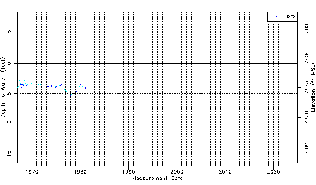
| USGS Data Available | Water-level (GW.LEV) |
| Water-level Database Information |
|---|
| Water-level Count | 21 |
| Water-level Date Range | 01/03/1967 thru 01/13/1981 |
| Monitored within the last 18 months | No, most recently on 01/13/1981 |
| Depth-to-Water Range (ft) | 2.76 to 5.23 |
| Water Table Elevation Range (ft NAVD88) | 7673.75 to 7676.22 |
| Water-Level-Source:Number-of-Measurements | USGSaguache Creek:21 |