| Well Information Table |
|---|
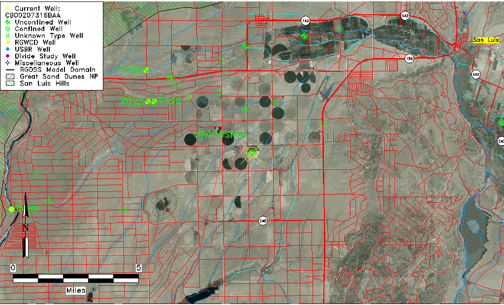
| Common Well ID | CB00207316BAA |
| USGS Well ID | 370815105341801 |
| USGS Station Name | CB00207316BAA |
| USGS Site Type | Well |
| USGS Site Use Information | Unused |
| USGS Groundwater Use Information | Unused |
| Data Source(s) | USGS |
| Location Data |
|---|
| TRS | CB00207316BAA |
| USGS TRS 1 | CB00207316BAA |
| USGS TRS | NENENWS016T0002NR0073WC |
| Longitude/Latitude (NAD83) | -105.57223500 , 37.13751614 |
| Longitude/Latitude Data Source | GWSI decimal LAT/LONG field |
| USGS Longitude/Latitude (NAD83) | -105.5722350 , 37.13751614 |
| Easting, Northing RGDSS-NAD83 (US ft) | 229676.59 , 51587.39 |
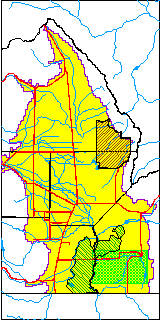
| USGS County | Costilla County |
| Elevation and Depth Data |
|---|
| Ground Elevation (ft NAVD88) | 7733.25000000000 |
| Elevation Data Source | USGS GWSI database |
| USGS Ground Elevation (ft NGVD29) | 7729.00 |
| 1/3-Arc Second NED Ground Elevation (ft NAVD88) | 7725.32 |
| 1-Arc Second NED Ground Elevation (ft NAVD88) | 7725.70 |
| SRTM Ground Elevation (ft NAVD88) | 7723.62 |
| Total Depth (ft) | 253.00 |
| USGS Well Depth (ft) | 253.00 |
| Model Layer | 1 |
| Model Layer Source | Well Depth |
| Depth of Bottom of Layer 1 | 298 |
| Depth of Bottom of Layer 2 | 398 |
| Depth of Bottom of Layer 3 | 683 |
| Depth of Bottom of Layer 4 | 1103 |
| Additional Well Information | Geohydrology, Construction |
| Aquifer Information |
|---|
| Aquifer Type | Unconfined |
| Aquifer Type Source | TD Elevation/Model Layer |
| USGS Primary Aquifer | Cenozoic Erathem |
| USGS Hydrologic Unit | Upper Rio Grande |
| USGS Data Available | Water-level (GW.LEV) |
| Water-level Database Information |
|---|
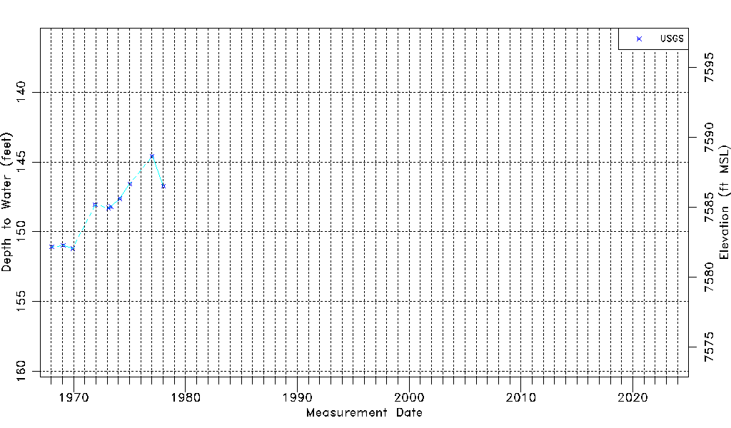
| Water-level Count | 10 |
| Water-level Date Range | 01/16/1968 thru 01/10/1978 |
| Monitored within the last 18 months | No, most recently on 01/10/1978 |
| Depth-to-Water Range (ft) | 144.58 to 151.21 |
| Water Table Elevation Range (ft NAVD88) | 7582.04 to 7588.67 |
| Water-Level-Source:Number-of-Measurements | USGSaguache Creek:10 |