| Well Information Table |
|---|
| Common Well ID | NA03400929CBB2 |
| USGS Well ID | 370936106010502 |
| USGS Station Name | NA03400929CBB2 |
| USGS Construction Date | 11/04/2006 |
| USGS Site Type | Well |
| USGS Site Use Information | Unknown |
| USGS Groundwater Use Information | Unknown |
| Data Source(s) | USGS |
| Location Data |
|---|
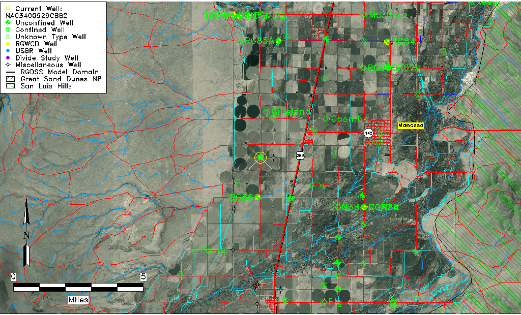
| TRS | NA03400929CBB2 |
| USGS TRS 1 | NA03400929CBB2 |
| USGS TRS | NWNWSWS29 T34N R9E N |
| Longitude/Latitude (NAD83) | -106.01858890 , 37.15991389 |
| Longitude/Latitude Data Source | GWSI decimal LAT/LONG field |
| USGS Longitude/Latitude (NAD83) | -106.0185889 , 37.15991389 |
| Easting, Northing RGDSS-NAD83 (US ft) | 99635.41 , 59903.94 |
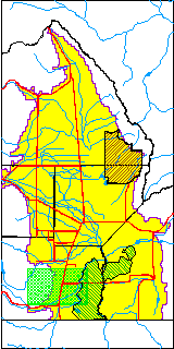
| USGS County | Conejos County |
| USGS Map Name | GOSHAWK DAM |
| USGS Map Scale | 24000 |
| Elevation and Depth Data |
|---|
| Ground Elevation (ft NAVD88) | 7791.00000000000 |
| Elevation Data Source | USGS GWSI database |
| USGS Ground Elevation (ft NAVD88) | 7791.00 |
| 1/3-Arc Second NED Ground Elevation (ft NAVD88) | 7787.71 |
| 1-Arc Second NED Ground Elevation (ft NAVD88) | 7787.72 |
| SRTM Ground Elevation (ft NAVD88) | 7789.73 |
| Total Depth (ft) | 30.00 |
| USGS Hole Depth (ft) | 50.00 |
| USGS Well Depth (ft) | 30.00 |
| Model Layer | 1 |
| Model Layer Source | Well Depth |
| Depth of Bottom of Layer 1 | 53 |
| Depth of Bottom of Layer 2 | 147 |
| Depth of Bottom of Layer 3 | 230 |
| Depth of Bottom of Layer 4 | 1395 |
| Additional Well Information | NONE |
| Aquifer Information |
|---|
| Aquifer Type | Unconfined |
| Aquifer Type Source | TD Elevation/Model Layer |
| USGS Primary Aquifer | 112ALMS |
| USGS Hydrologic Unit | Alamosa-Trinchera |
| USGS Data Available | Geohydrologic |
| Water-level Database Information |
|---|
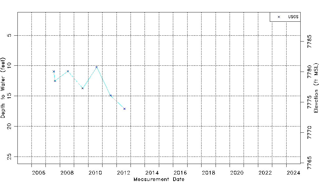
| Water-level Count | 7 |
| Water-level Date Range | 07/27/2007 thru 07/24/2012 |
| Monitored within the last 18 months | No, most recently on 07/24/2012 |
| Depth-to-Water Range (ft) | 10.23 to 17.10 |
| Water Table Elevation Range (ft NAVD88) | 7773.90 to 7780.77 |
| Water-Level-Source:Number-of-Measurements | USGSaguache Creek:7 |