| Well Information Table |
|---|
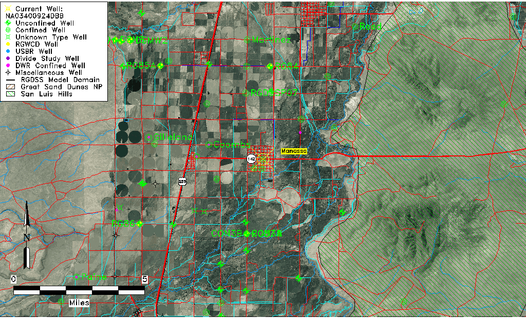
| Common Well ID | NA03400924DBB |
| USGS Well ID | 371025105560501 |
| USGS Station Name | NA03400924DBB |
| USGS Site Type | Well |
| USGS Site Use Information | Observation |
| USGS Groundwater Use Information | Unused |
| Data Source(s) | USGS |
| Location Data |
|---|
| TRS | NA03400924DBB |
| USGS TRS 1 | NA03400924DBB |
| Longitude/Latitude (NAD83) | -105.93529920 , 37.17362220 |
| Longitude/Latitude Data Source | GWSI decimal LAT/LONG field |
| USGS Longitude/Latitude (NAD83) | -105.9352992 , 37.17362220 |
| Easting, Northing RGDSS-NAD83 (US ft) | 123913.77 , 64816.56 |
| USGS Topography | Valley flat |
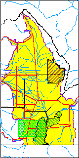
| USGS County | Conejos County |
| USGS Map Name | MANASSA COLO. |
| USGS Map Scale | 24000 |
| Elevation and Depth Data |
|---|
| Ground Elevation (ft NAVD88) | 7688.00000000000 |
| Elevation Data Source | USGS GWSI database |
| USGS Ground Elevation (ft NGVD29) | 7684.00 |
| 1/3-Arc Second NED Ground Elevation (ft NAVD88) | 7688.62 |
| 1-Arc Second NED Ground Elevation (ft NAVD88) | 7687.47 |
| SRTM Ground Elevation (ft NAVD88) | 7700.01 |
| Total Depth (ft) | 174.00 |
| USGS Well Depth (ft) | 174.00 |
| Model Layer | 2 |
| Model Layer Source | Well Depth |
| Depth of Bottom of Layer 1 | 34 |
| Depth of Bottom of Layer 2 | 181 |
| Depth of Bottom of Layer 3 | 370 |
| Depth of Bottom of Layer 4 | 1335 |
| Additional Well Information | Construction |
| Aquifer Information |
|---|
| Aquifer Type | Confined |
| Aquifer Type Source | TD Elevation/Model Layer |
| USGS Hydrologic Unit | Conejos |
| USGS Data Available | Miscellaneous (GW.MISC) |
| Water-level Database Information |
|---|
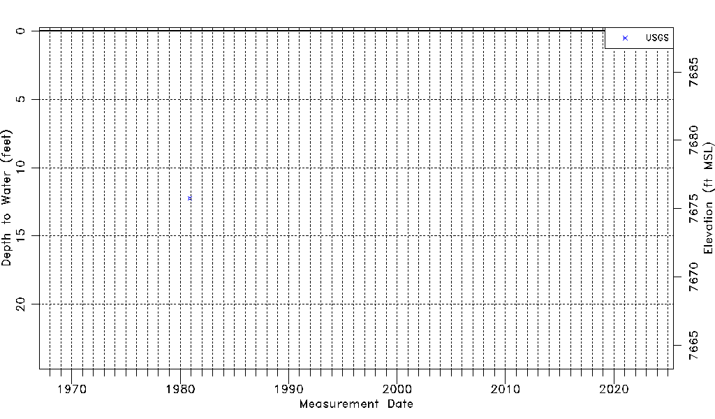
| Water-level Count | 1 |
| Water-level Date Range | 11/19/1980 thru 11/19/1980 |
| Monitored within the last 18 months | No, most recently on 11/19/1980 |
| Depth-to-Water Range (ft) | 12.23 to 12.23 |
| Water Table Elevation Range (ft NAVD88) | 7675.77 to 7675.77 |
| Water-Level-Source:Number-of-Measurements | USGS:1 |