| Well Information Table |
|---|
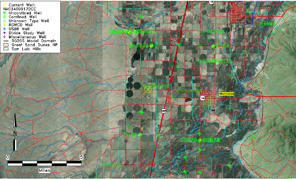
| Common Well ID | NA03400917DCC |
| USGS Well ID | 371055106003501 |
| USGS Station Name | NA03400917DCC |
| USGS Construction Date | 01/01/1955 |
| USGS Site Type | Well |
| USGS Site Use Information | Withdrawal of Water |
| USGS Groundwater Use Information | Irrigation |
| Data Source(s) | USGS |
| Location Data |
|---|
| TRS | NA03400917DCC |
| USGS TRS 1 | NA03400917DCC |
| USGS TRS | SWSWSES017T0034NR0009EN |
| Longitude/Latitude (NAD83) | -106.01030120 , 37.18195450 |
| Longitude/Latitude Data Source | GWSI decimal LAT/LONG field |
| USGS Longitude/Latitude (NAD83) | -106.0103012 , 37.18195450 |
| Easting, Northing RGDSS-NAD83 (US ft) | 102078.21 , 67918.05 |
| USGS Topography | Valley flat |
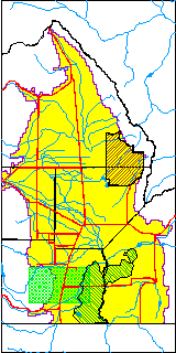
| USGS County | Conejos County |
| Elevation and Depth Data |
|---|
| Ground Elevation (ft NAVD88) | 7735.13000000000 |
| Elevation Data Source | USGS GWSI database |
| USGS Ground Elevation (ft NGVD29) | 7731.00 |
| 1/3-Arc Second NED Ground Elevation (ft NAVD88) | 7736.82 |
| 1-Arc Second NED Ground Elevation (ft NAVD88) | 7736.17 |
| SRTM Ground Elevation (ft NAVD88) | 7738.72 |
| Total Depth (ft) | 320.00 |
| USGS Well Depth (ft) | 320.00 |
| Model Layer | 4 |
| Model Layer Source | Well Depth |
| Depth of Bottom of Layer 1 | 43 |
| Depth of Bottom of Layer 2 | 152 |
| Depth of Bottom of Layer 3 | 259 |
| Depth of Bottom of Layer 4 | 1566 |
| Additional Well Information | Geohydrology, Construction |
| Aquifer Information |
|---|
| Aquifer Type | Confined |
| Aquifer Type Source | TD Elevation/Model Layer |
| USGS Primary Aquifer | Cenozoic Erathem |
| USGS Hydrologic Unit | Alamosa-Trinchera |
| USGS Data Available | Water-level (GW.LEV) |
| Water-level Database Information |
|---|
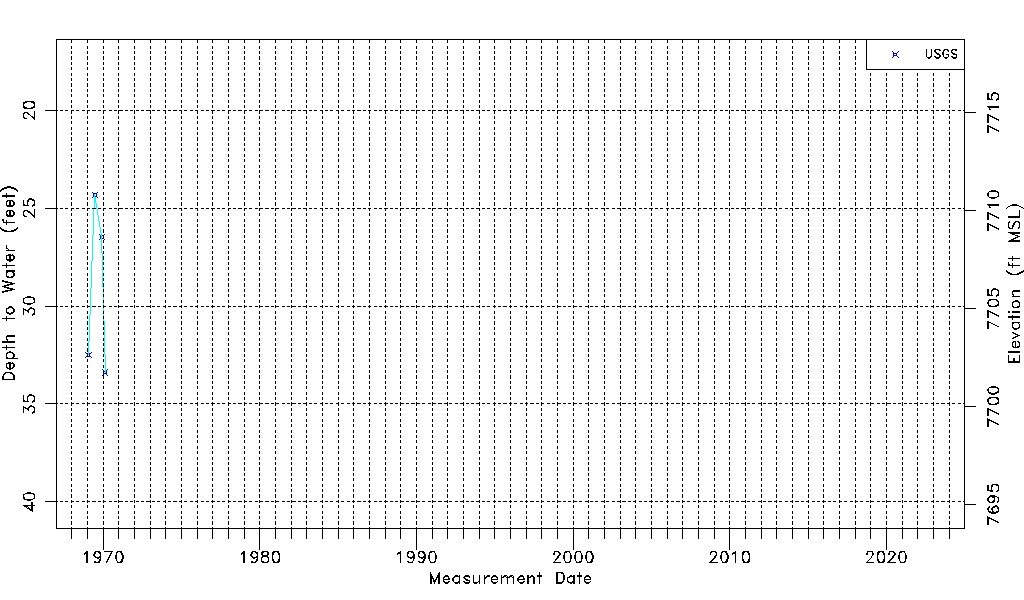
| Water-level Count | 4 |
| Water-level Date Range | 01/29/1969 thru 02/19/1970 |
| Monitored within the last 18 months | No, most recently on 02/19/1970 |
| Depth-to-Water Range (ft) | 24.32 to 33.40 |
| Water Table Elevation Range (ft NAVD88) | 7701.73 to 7710.81 |
| Water-Level-Source:Number-of-Measurements | USGS:4 |