| Well Information Table |
|---|
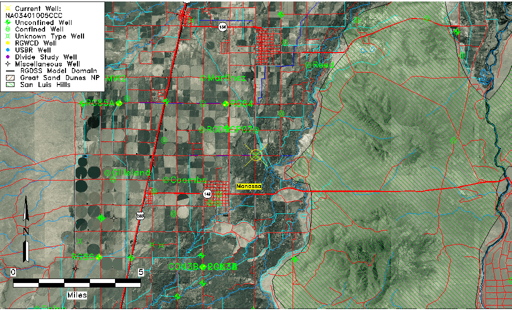
| Common Well ID | NA03401005CCC |
| USGS Well ID | 371145105543001 |
| USGS Station Name | NA03401005CCC |
| USGS Construction Date | 01/01/1963 |
| USGS Site Type | Well |
| USGS Site Use Information | Withdrawal of Water |
| USGS Groundwater Use Information | Irrigation |
| Data Source(s) | USGS |
| Location Data |
|---|
| TRS | NA03401005CCC |
| USGS TRS 1 | NA03401005CCC |
| USGS TRS | SWSWSWS005T0034NR0010EN |
| Longitude/Latitude (NAD83) | -105.90891000 , 37.19584419 |
| Longitude/Latitude Data Source | GWSI decimal LAT/LONG field |
| USGS Longitude/Latitude (NAD83) | -105.9089100 , 37.19584419 |
| Easting, Northing RGDSS-NAD83 (US ft) | 131620.19 , 72885.20 |
| USGS Topography | Valley flat |
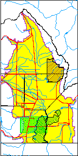
| USGS County | Conejos County |
| Elevation and Depth Data |
|---|
| Ground Elevation (ft NAVD88) | 7633.95000000000 |
| Elevation Data Source | USGS GWSI database |
| USGS Ground Elevation (ft NGVD29) | 7630.00 |
| 1/3-Arc Second NED Ground Elevation (ft NAVD88) | 7645.45 |
| 1-Arc Second NED Ground Elevation (ft NAVD88) | 7646.95 |
| SRTM Ground Elevation (ft NAVD88) | 7647.64 |
| Total Depth (ft) | 370.00 |
| USGS Well Depth (ft) | 370.00 |
| Model Layer | 3 |
| Model Layer Source | Well Depth |
| Depth of Bottom of Layer 1 | 23 |
| Depth of Bottom of Layer 2 | 144 |
| Depth of Bottom of Layer 3 | 353 |
| Depth of Bottom of Layer 4 | 1303 |
| Additional Well Information | Geohydrology, Construction |
| Aquifer Information |
|---|
| Aquifer Type | Confined |
| Aquifer Type Source | TD Elevation/Model Layer |
| USGS Primary Aquifer | Cenozoic Erathem |
| USGS Hydrologic Unit | Conejos |
| USGS Data Available | Water-level (GW.LEV) |
| Water-level Database Information |
|---|
| Water-level Count | 2 |
| Water-level Date Range | 01/20/1969 thru 02/21/1970 |
| Monitored within the last 18 months | No, most recently on 02/21/1970 |
| Depth-to-Water Range (ft) | -22.00 to -21.60 |
| Water Table Elevation Range (ft NAVD88) | 7655.55 to 7655.95 |
| Water-Level-Source:Number-of-Measurements | USGS:2 |