| Well Information Table |
|---|
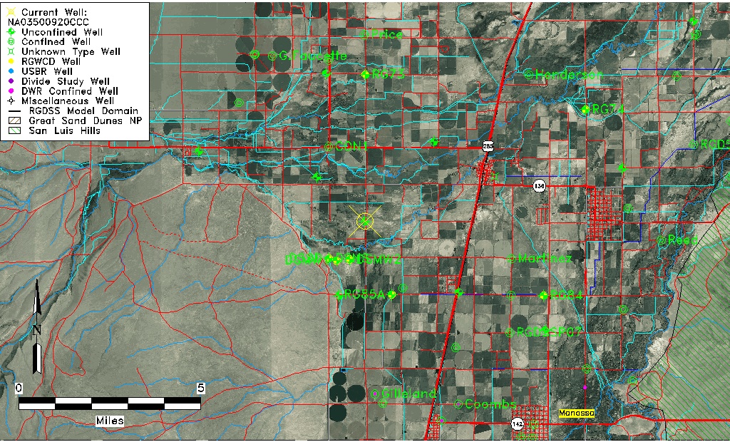
| Common Well ID | NA03500920CCC |
| USGS Well ID | 371517106010501 |
| USGS Station Name | NA03500920CCC |
| USGS Construction Date | 01/01/1968 |
| USGS Site Type | Well |
| USGS Site Use Information | Observation |
| USGS Groundwater Use Information | Unused |
| Data Source(s) | USGS |
| Location Data |
|---|
| TRS | NA03500920CCC |
| USGS TRS 1 | NA03500920CCC |
| USGS TRS | SWSWSWS020T0035NR0009EN |
| Longitude/Latitude (NAD83) | -106.01956920 , 37.25429450 |
| Longitude/Latitude Data Source | Davis Engineering Survey |
| USGS Longitude/Latitude (NAD83) | -106.0196080 , 37.25431394 |
| Easting, Northing RGDSS-NAD83 (US ft) | 99474.84 , 94259.57 |
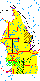
| USGS County | Conejos County |
| USGS Map Name | CAPULIN |
| USGS Map Scale | 24000 |
| Elevation and Depth Data |
|---|
| Ground Elevation (ft NAVD88) | 7644.66000000000 |
| Elevation Data Source | Davis Engineering Survey |
| USGS Ground Elevation (ft NGVD29) | 7640.00 |
| 1/3-Arc Second NED Ground Elevation (ft NAVD88) | 7644.42 |
| 1-Arc Second NED Ground Elevation (ft NAVD88) | 7644.29 |
| SRTM Ground Elevation (ft NAVD88) | 7643.56 |
| Total Depth (ft) | 16.00 |
| USGS Well Depth (ft) | 16.00 |
| Model Layer | 1 |
| Model Layer Source | Well Depth |
| Depth of Bottom of Layer 1 | 34 |
| Depth of Bottom of Layer 2 | 108 |
| Depth of Bottom of Layer 3 | 171 |
| Depth of Bottom of Layer 4 | 1554 |
| Additional Well Information | Geohydrology, Construction |
| Aquifer Information |
|---|
| Aquifer Type | Unconfined |
| Aquifer Type Source | TD Elevation/Model Layer |
| USGS Primary Aquifer | Cenozoic Erathem |
| USGS Aquifer Type | Unconfined Single Aquifer |
| USGS Hydrologic Unit | Alamosa-Trinchera |
| USGS Data Available | Water-level (GW.LEV) |
| Water-level Database Information |
|---|
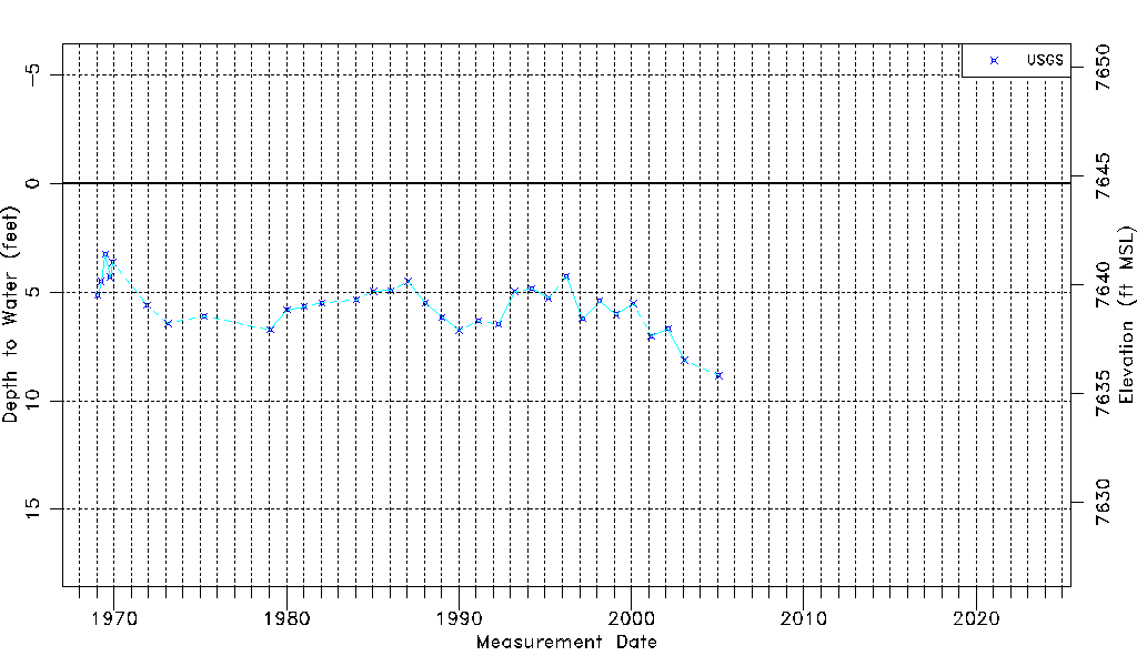
| Water-level Count | 33 |
| Water-level Date Range | 01/28/1969 thru 01/25/2005 |
| Monitored within the last 18 months | No, most recently on 01/25/2005 |
| Depth-to-Water Range (ft) | 3.26 to 8.84 |
| Water Table Elevation Range (ft NAVD88) | 7635.82 to 7641.40 |
| Water-Level-Source:Number-of-Measurements | USGS:33 |