| Well Information Table |
|---|
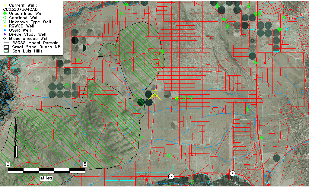
| Common Well ID | CC03207304CAD |
| USGS Well ID | 371700105333001 |
| USGS Station Name | CC03207304CAD |
| USGS Construction Date | 01/01/1953 |
| USGS Site Type | Well |
| USGS Site Use Information | Withdrawal of Water |
| USGS Groundwater Use Information | Irrigation |
| Data Source(s) | USGS |
| Location Data |
|---|
| TRS | CC03207304CAD |
| USGS TRS 1 | CC03207304CAD |
| USGS TRS | SENESWS004T0032SR0073WS |
| Longitude/Latitude (NAD83) | -105.55306960 , 37.29167800 |
| Longitude/Latitude Data Source | GWSI decimal LAT/LONG field |
| USGS Longitude/Latitude (NAD83) | -105.5530696 , 37.29167800 |
| Easting, Northing RGDSS-NAD83 (US ft) | 235189.31 , 107705.46 |
| USGS Topography | Valley flat |
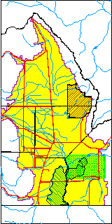
| USGS County | Costilla County |
| USGS Map Name | BLANCA SE |
| USGS Map Scale | 24000 |
| Elevation and Depth Data |
|---|
| Ground Elevation (ft NAVD88) | 7756.21000000000 |
| Elevation Data Source | USGS GWSI database |
| USGS Ground Elevation (ft NGVD29) | 7752.00 |
| 1/3-Arc Second NED Ground Elevation (ft NAVD88) | 7757.81 |
| 1-Arc Second NED Ground Elevation (ft NAVD88) | 7757.97 |
| SRTM Ground Elevation (ft NAVD88) | 7758.60 |
| Total Depth (ft) | 384.00 |
| USGS Well Depth (ft) | 384.00 |
| Model Layer | 2 |
| Model Layer Source | Well Depth |
| Depth of Bottom of Layer 1 | 282 |
| Depth of Bottom of Layer 2 | 382 |
| Depth of Bottom of Layer 3 | 764 |
| Depth of Bottom of Layer 4 | 1297 |
| Additional Well Information | Geohydrology, Construction |
| Aquifer Information |
|---|
| Aquifer Type | Confined |
| Aquifer Type Source | TD Elevation/Model Layer |
| USGS Primary Aquifer | Cenozoic Erathem |
| USGS Hydrologic Unit | Alamosa-Trinchera |
| USGS Data Available | Water-level (GW.LEV) |
| Water-level Database Information |
|---|
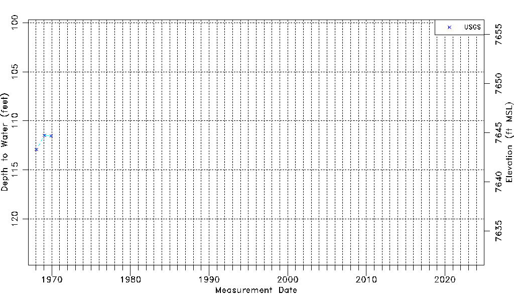
| Water-level Count | 3 |
| Water-level Date Range | 01/16/1968 thru 12/02/1969 |
| Monitored within the last 18 months | No, most recently on 12/02/1969 |
| Depth-to-Water Range (ft) | 111.47 to 112.90 |
| Water Table Elevation Range (ft NAVD88) | 7643.31 to 7644.74 |
| Water-Level-Source:Number-of-Measurements | USGS:3 |