| Well Information Table |
|---|
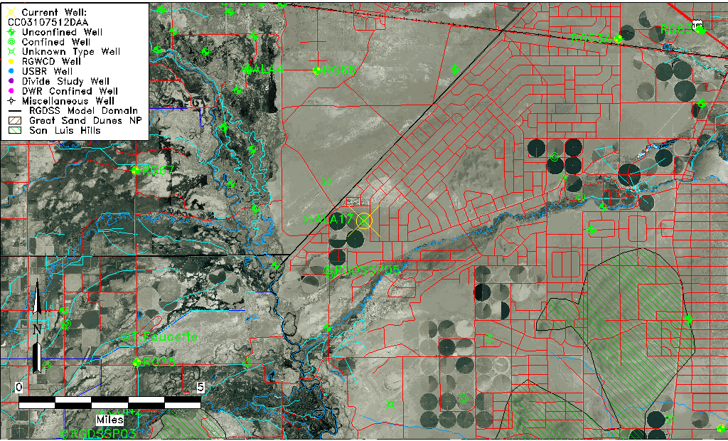
| Common Well ID | CC03107512DAA |
| USGS Well ID | 372110105423001 |
| USGS Station Name | CC03107512DAA |
| USGS Construction Date | 01/01/1954 |
| USGS Site Type | Well |
| USGS Site Use Information | Unused |
| USGS Groundwater Use Information | Unused |
| Data Source(s) | USGS |
| Location Data |
|---|
| TRS | CC03107512DAA |
| USGS TRS 1 | CC03107512DAA |
| USGS TRS | NENESES012T0031SR0075WS |
| Longitude/Latitude (NAD83) | -105.70890640 , 37.35278649 |
| Longitude/Latitude Data Source | GWSI decimal LAT/LONG field |
| USGS Longitude/Latitude (NAD83) | -105.7089064 , 37.35278649 |
| Easting, Northing RGDSS-NAD83 (US ft) | 189879.16 , 129928.03 |
| USGS Topography | Alluvial or Marine Terrace |
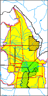
| USGS County | Costilla County |
| Elevation and Depth Data |
|---|
| Ground Elevation (ft NAVD88) | 7569.03000000000 |
| Elevation Data Source | USGS GWSI database |
| USGS Ground Elevation (ft NGVD29) | 7565.00 |
| 1/3-Arc Second NED Ground Elevation (ft NAVD88) | 7555.53 |
| 1-Arc Second NED Ground Elevation (ft NAVD88) | 7557.44 |
| SRTM Ground Elevation (ft NAVD88) | 7555.78 |
| Total Depth (ft) | 800.00 |
| USGS Well Depth (ft) | 800.00 |
| Model Layer | 4 |
| Model Layer Source | Well Depth |
| Depth of Bottom of Layer 1 | 66 |
| Depth of Bottom of Layer 2 | 222 |
| Depth of Bottom of Layer 3 | 683 |
| Depth of Bottom of Layer 4 | 1892 |
| Additional Well Information | Geohydrology, Construction |
| Aquifer Information |
|---|
| Aquifer Type | Confined |
| Aquifer Type Source | TD Elevation/Model Layer |
| USGS Primary Aquifer | Cenozoic Erathem |
| USGS Hydrologic Unit | Alamosa-Trinchera |
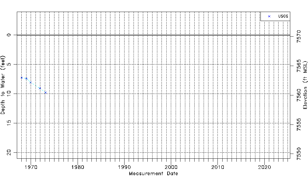
| USGS Data Available | Water-level (GW.LEV) |
| Water-level Database Information |
|---|
| Water-level Count | 5 |
| Water-level Date Range | 01/16/1968 thru 02/22/1973 |
| Monitored within the last 18 months | No, most recently on 02/22/1973 |
| Depth-to-Water Range (ft) | 7.26 to 9.80 |
| Water Table Elevation Range (ft NAVD88) | 7559.23 to 7561.77 |
| Water-Level-Source:Number-of-Measurements | USGS:5 |