| Well Information Table |
|---|
| Common Well ID | CC03107209DAA |
| USGS Well ID | 372159105255801 |
| USGS Station Name | CC03107209DAA |
| USGS Construction Date | 06/21/1973 |
| USGS Site Type | Well |
| USGS Site Use Information | Withdrawal of Water |
| USGS Groundwater Use Information | Unused |
| Data Source(s) | USGS |
| Location Data |
|---|
| TRS | CC03107209DAA |
| USGS TRS 1 | CC03107209DAA |
| Longitude/Latitude (NAD83) | -105.43334520 , 37.36639900 |
| Longitude/Latitude Data Source | GWSI decimal LAT/LONG field |
| USGS Longitude/Latitude (NAD83) | -105.4333452 , 37.36639900 |
| Easting, Northing RGDSS-NAD83 (US ft) | 269936.57 , 134968.74 |
| USGS Topography | Undulating |
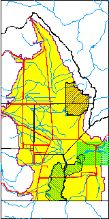
| USGS County | Costilla County |
| USGS Map Name | FT GARLAND N W |
| USGS Map Scale | 24000 |
| Elevation and Depth Data |
|---|
| Ground Elevation (ft NAVD88) | 7899.40000000000 |
| Elevation Data Source | USGS GWSI database |
| USGS Ground Elevation (ft NGVD29) | 7895.00 |
| 1/3-Arc Second NED Ground Elevation (ft NAVD88) | 7898.97 |
| 1-Arc Second NED Ground Elevation (ft NAVD88) | 7901.28 |
| SRTM Ground Elevation (ft NAVD88) | 7900.00 |
| Total Depth (ft) | 317.00 |
| USGS Hole Depth (ft) | 317.00 |
| USGS Well Depth (ft) | 317.00 |
| Model Layer | 1 |
| Model Layer Source | Well Depth |
| Depth of Bottom of Layer 1 | 484 |
| Depth of Bottom of Layer 2 | 584 |
| Depth of Bottom of Layer 3 | 693 |
| Depth of Bottom of Layer 4 | 926 |
| Additional Well Information | Production, Logs, Geohydrology, Construction, Aquifer |
| Aquifer Information |
|---|
| Aquifer Type | Unconfined |
| Aquifer Type Source | TD Elevation/Model Layer |
| USGS Hydrologic Unit | Alamosa-Trinchera |
| USGS Data Available | Water-level (GW.LEV) |
| Water-level Database Information |
|---|
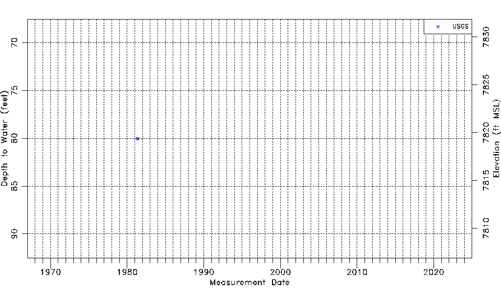
| Water-level Count | 2 |
| Water-level Date Range | 05/13/1981 thru 05/31/1981 |
| Monitored within the last 18 months | No, most recently on 05/31/1981 |
| Depth-to-Water Range (ft) | 80.03 to 80.03 |
| Water Table Elevation Range (ft NAVD88) | 7819.37 to 7819.37 |
| Water-Level-Source:Number-of-Measurements | USGSaguache Creek:2 |