| Well Information Table |
|---|
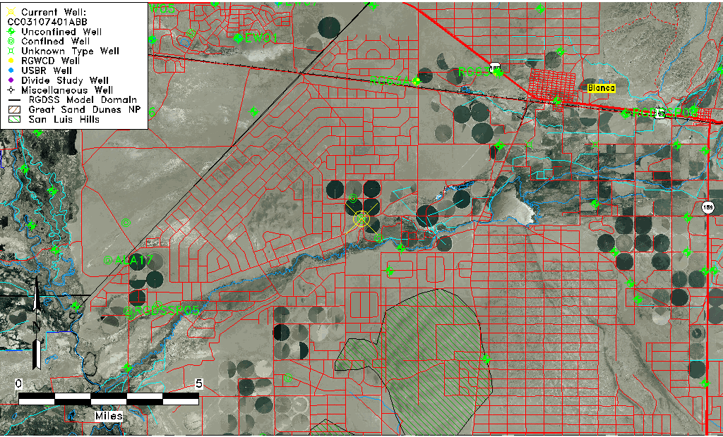
| Common Well ID | CC03107401ABB |
| USGS Well ID | 372317105361801 |
| USGS Station Name | CC03107401ABB |
| USGS Site Type | Well |
| USGS Site Use Information | Withdrawal of Water |
| USGS Groundwater Use Information | Unknown |
| Data Source(s) | USGS |
| Location Data |
|---|
| TRS | CC03107401ABB |
| USGS TRS 1 | CC03107401ABB |
| Longitude/Latitude (NAD83) | -105.60637610 , 37.38767510 |
| Longitude/Latitude Data Source | GWSI decimal LAT/LONG field |
| USGS Longitude/Latitude (NAD83) | -105.6063761 , 37.38767510 |
| Easting, Northing RGDSS-NAD83 (US ft) | 219662.89 , 142631.81 |
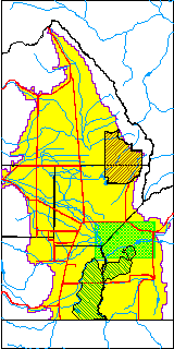
| USGS County | Costilla County |
| USGS Map Name | BLANCA |
| USGS Map Scale | 24000 |
| Elevation and Depth Data |
|---|
| Ground Elevation (ft NAVD88) | 7676.19000000000 |
| Elevation Data Source | USGS GWSI database |
| USGS Ground Elevation (ft NGVD29) | 7672.00 |
| 1/3-Arc Second NED Ground Elevation (ft NAVD88) | 7676.27 |
| 1-Arc Second NED Ground Elevation (ft NAVD88) | 7676.05 |
| SRTM Ground Elevation (ft NAVD88) | 7672.97 |
| Total Depth (ft) | 452.00 |
| USGS Well Depth (ft) | 452.00 |
| Model Layer | 3 |
| Model Layer Source | Well Depth |
| Depth of Bottom of Layer 1 | 215 |
| Depth of Bottom of Layer 2 | 315 |
| Depth of Bottom of Layer 3 | 583 |
| Depth of Bottom of Layer 4 | 1711 |
| Additional Well Information | NONE |
| Aquifer Information |
|---|
| Aquifer Type | Confined |
| Aquifer Type Source | TD Elevation/Model Layer |
| USGS Hydrologic Unit | Alamosa-Trinchera |
| USGS Data Available | Water-level (GW.LEV) |
| Water-level Database Information |
|---|
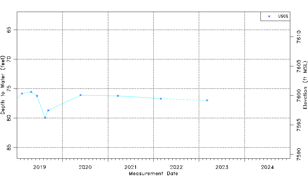
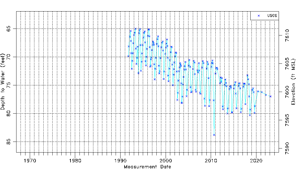
| Water-level Count | 196 |
| Water-level Date Range | 10/09/1991 thru 03/06/2023 |
| Monitored within the last 18 months | Yes, most recently on 03/06/2023 |
| Depth-to-Water Range (ft) | 65.00 to 83.80 |
| Water Table Elevation Range (ft NAVD88) | 7592.39 to 7611.19 |
| Water-Level-Source:Number-of-Measurements | USGS:196 |