| Well Information Table |
|---|
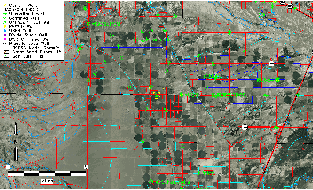
| Common Well ID | NA03700835DCC |
| USGS Well ID | 372355106040501 |
| USGS Station Name | NA03700835DCC |
| USGS Construction Date | 01/01/1955 |
| USGS Site Type | Well |
| USGS Site Use Information | Withdrawal of Water |
| USGS Groundwater Use Information | Irrigation |
| Data Source(s) | USGS |
| Location Data |
|---|
| TRS | NA03700835DCC |
| USGS TRS 1 | NA03700835DCC |
| USGS TRS | SWSWSES035T0037NR0008EN |
| Longitude/Latitude (NAD83) | -106.06864319 , 37.40045531 |
| Longitude/Latitude Data Source | Davis Engineering Survey |
| USGS Longitude/Latitude (NAD83) | -106.0669987 , 37.40117197 |
| Easting, Northing RGDSS-NAD83 (US ft) | 85418.66 , 147519.49 |
| USGS Topography | Valley flat |
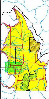
| USGS County | Rio Grande County |
| Elevation and Depth Data |
|---|
| Ground Elevation (ft NAVD88) | 7651.23000000000 |
| Elevation Data Source | USGS GWSI database |
| USGS Ground Elevation (ft NGVD29) | 7647.00 |
| 1/3-Arc Second NED Ground Elevation (ft NAVD88) | 7653.30 |
| 1-Arc Second NED Ground Elevation (ft NAVD88) | 7652.99 |
| SRTM Ground Elevation (ft NAVD88) | 7648.55 |
| Total Depth (ft) | 50.00 |
| USGS Well Depth (ft) | 50.00 |
| Model Layer | 1 |
| Model Layer Source | Well Depth |
| Depth of Bottom of Layer 1 | 47 |
| Depth of Bottom of Layer 2 | 182 |
| Depth of Bottom of Layer 3 | 360 |
| Depth of Bottom of Layer 4 | 2013 |
| Additional Well Information | Geohydrology, Construction |
| Aquifer Information |
|---|
| Aquifer Type | Unconfined |
| Aquifer Type Source | TD Elevation/Model Layer |
| USGS Primary Aquifer | Cenozoic Erathem |
| USGS Aquifer Type | Unconfined Single Aquifer |
| USGS Hydrologic Unit | Alamosa-Trinchera |
| USGS Data Available | Water-level (GW.LEV) |
| Water-level Database Information |
|---|
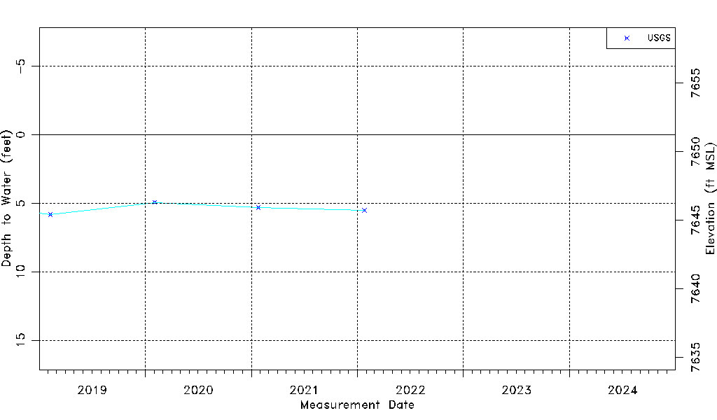
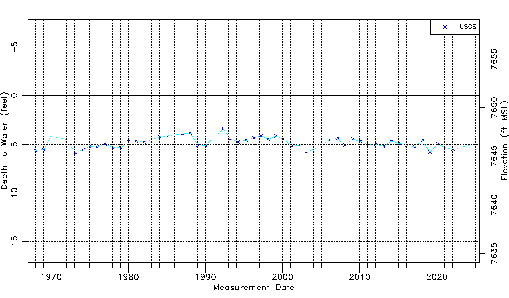
| Water-level Count | 49 |
| Water-level Date Range | 01/15/1968 thru 01/25/2022 |
| Monitored within the last 18 months | No, most recently on 01/25/2022 |
| Depth-to-Water Range (ft) | 3.38 to 5.94 |
| Water Table Elevation Range (ft NAVD88) | 7645.29 to 7647.85 |
| Water-Level-Source:Number-of-Measurements | USGSaguache Creek:49 |