| Well Information Table |
|---|
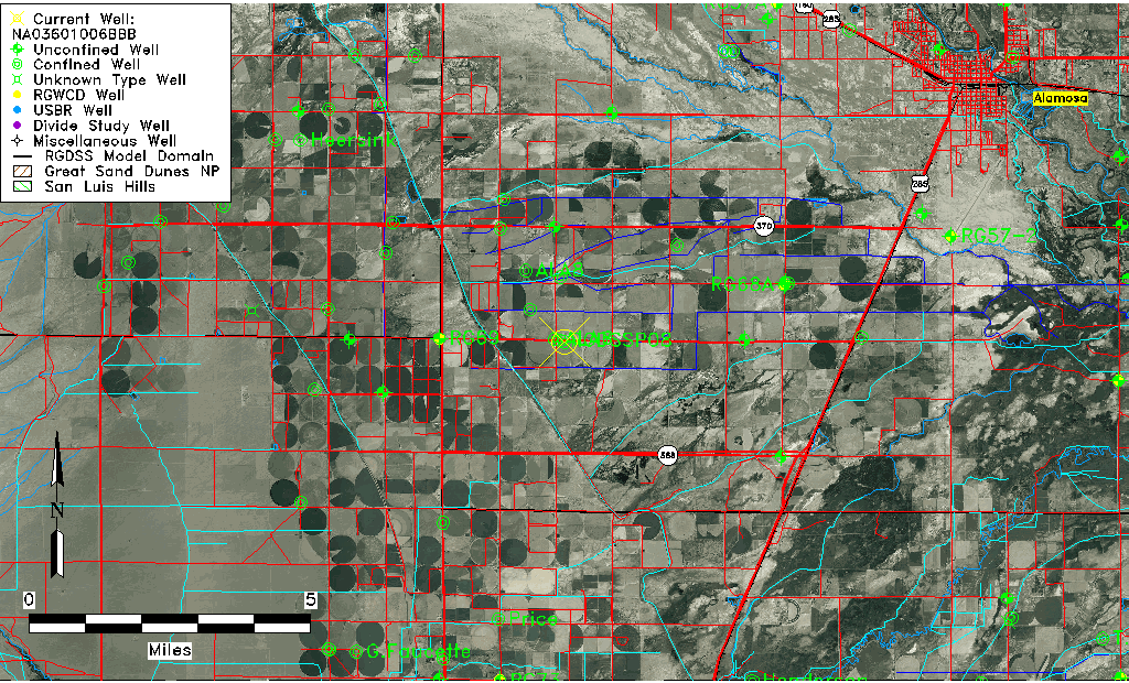
| Common Well ID | NA03601006BBB |
| USGS Well ID | 372400105595501 |
| USGS Station Name | NA03601006BBB |
| USGS Site Type | Well |
| USGS Site Use Information | Withdrawal of Water |
| USGS Groundwater Use Information | Irrigation |
| Data Source(s) | USGS |
| Location Data |
|---|
| TRS | NA03601006BBB |
| USGS TRS 1 | NA03601006BBB |
| Longitude/Latitude (NAD83) | -105.99919110 , 37.40000537 |
| Longitude/Latitude Data Source | GWSI decimal LAT/LONG field |
| USGS Longitude/Latitude (NAD83) | -105.9991911 , 37.40000537 |
| Easting, Northing RGDSS-NAD83 (US ft) | 105587.35 , 147278.28 |
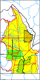
| USGS County | Alamosa County |
| USGS Map Name | COUNTY ROAD MAPS |
| USGS Map Scale | 125000 |
| Elevation and Depth Data |
|---|
| Ground Elevation (ft NAVD88) | 7564.08000000000 |
| Elevation Data Source | USGS GWSI database |
| USGS Ground Elevation (ft NGVD29) | 7560.00 |
| 1/3-Arc Second NED Ground Elevation (ft NAVD88) | 7589.26 |
| 1-Arc Second NED Ground Elevation (ft NAVD88) | 7588.14 |
| SRTM Ground Elevation (ft NAVD88) | 7598.71 |
| Total Depth (ft) | 600.00 |
| USGS Well Depth (ft) | 600.00 |
| Model Layer | 3 |
| Model Layer Source | Well Depth |
| Depth of Bottom of Layer 1 | -4 |
| Depth of Bottom of Layer 2 | 272 |
| Depth of Bottom of Layer 3 | 632 |
| Depth of Bottom of Layer 4 | 2145 |
| Additional Well Information | Construction |
| Aquifer Information |
|---|
| Aquifer Type | Confined |
| Aquifer Type Source | TD Elevation/Model Layer |
| USGS Hydrologic Unit | Alamosa-Trinchera |
| USGS Data Available | Miscellaneous (GW.MISC) |
| Water-level Database Information |
|---|
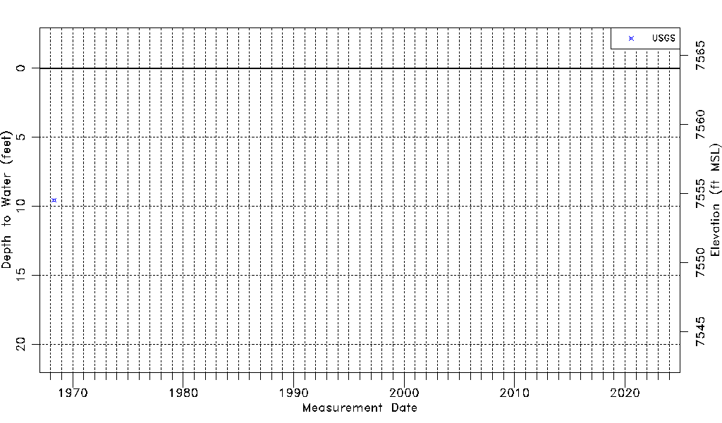
| Water-level Count | 1 |
| Water-level Date Range | 04/25/1968 thru 04/25/1968 |
| Monitored within the last 18 months | No, most recently on 04/25/1968 |
| Depth-to-Water Range (ft) | 9.55 to 9.55 |
| Water Table Elevation Range (ft NAVD88) | 7554.53 to 7554.53 |
| Water-Level-Source:Number-of-Measurements | USGS:1 |