| Well Information Table |
|---|
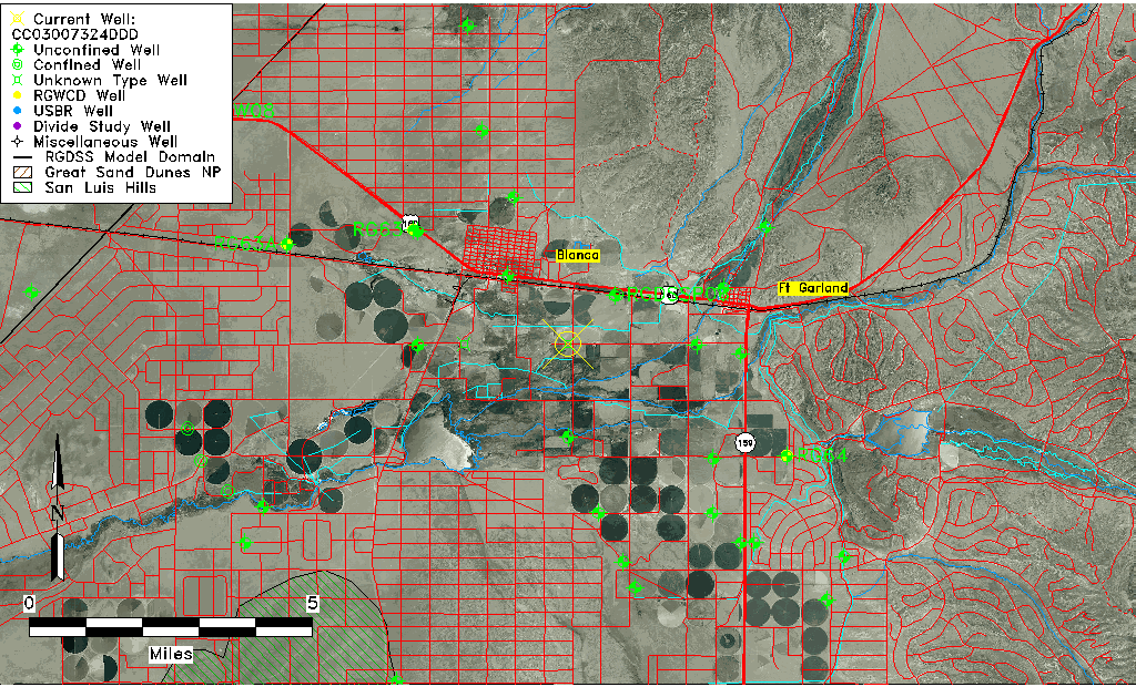
| Common Well ID | CC03007324DDD |
| USGS Well ID | 372415105293901 |
| USGS Station Name | CC03007324DDD |
| USGS Construction Date | 01/01/1966 |
| USGS Site Type | Well |
| USGS Site Use Information | Observation |
| USGS Groundwater Use Information | Unused |
| Data Source(s) | USGS |
| Location Data |
|---|
| TRS | CC03007324DDD |
| USGS TRS 1 | CC03007324DDD |
| USGS TRS | SESESES024T0030SR0073WS |
| Longitude/Latitude (NAD83) | -105.48856770 , 37.41745285 |
| Longitude/Latitude Data Source | GWSI decimal LAT/LONG field |
| USGS Longitude/Latitude (NAD83) | -105.4885677 , 37.41745285 |
| Easting, Northing RGDSS-NAD83 (US ft) | 253857.53 , 153515.66 |
| USGS Topography | Valley flat |
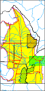
| USGS County | Costilla County |
| USGS Map Name | FT GARLAND |
| USGS Map Scale | 24000 |
| Elevation and Depth Data |
|---|
| Ground Elevation (ft NAVD88) | 7769.44000000000 |
| Elevation Data Source | USGS GWSI database |
| USGS Ground Elevation (ft NGVD29) | 7765.00 |
| 1/3-Arc Second NED Ground Elevation (ft NAVD88) | 7772.47 |
| 1-Arc Second NED Ground Elevation (ft NAVD88) | 7772.79 |
| SRTM Ground Elevation (ft NAVD88) | 7772.31 |
| Depth of Bottom of Layer 1 | 470 |
| Depth of Bottom of Layer 2 | 570 |
| Depth of Bottom of Layer 3 | 710 |
| Depth of Bottom of Layer 4 | 1854 |
| Additional Well Information | Geohydrology, Construction |
| Aquifer Information |
|---|
| Aquifer Type | Unknown |
| Aquifer Type Source | None |
| USGS Primary Aquifer | Cenozoic Erathem |
| USGS Aquifer Type | Unconfined Single Aquifer |
| USGS Hydrologic Unit | Alamosa-Trinchera |
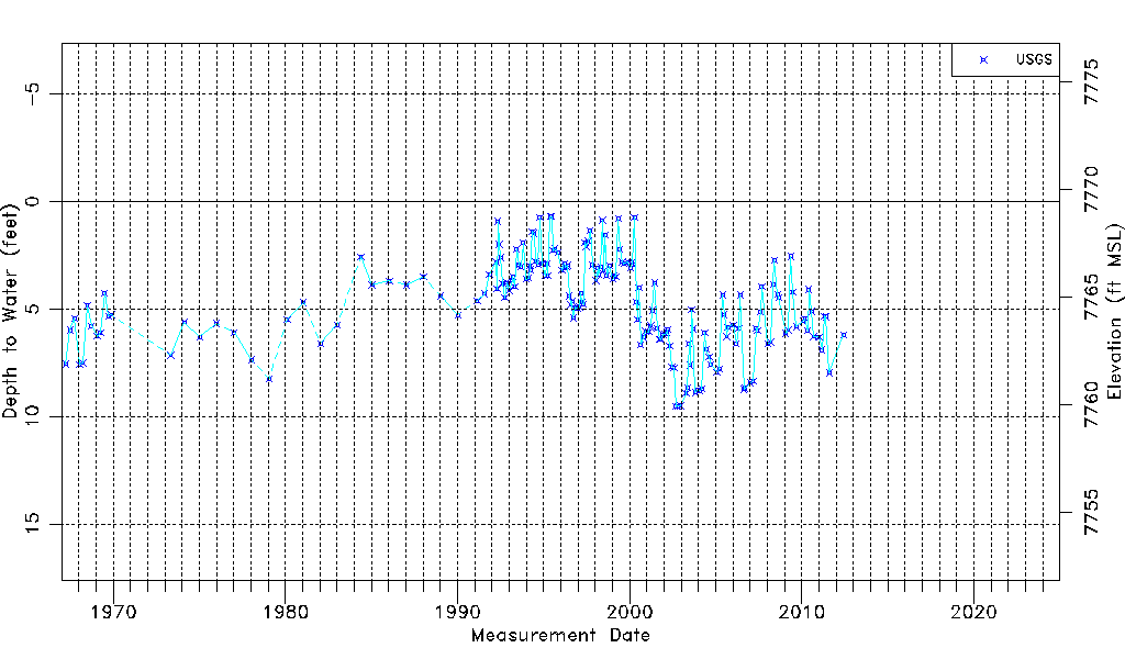
| USGS Data Available | Water-level (GW.LEV) |
| Water-level Database Information |
|---|
| Water-level Count | 187 |
| Water-level Date Range | 03/31/1967 thru 06/06/2012 |
| Monitored within the last 18 months | No, most recently on 06/06/2012 |
| Depth-to-Water Range (ft) | 0.71 to 9.54 |
| Water Table Elevation Range (ft NAVD88) | 7759.90 to 7768.73 |
| Water-Level-Source:Number-of-Measurements | USGSaguache Creek:187 |