| Well Information Table |
|---|
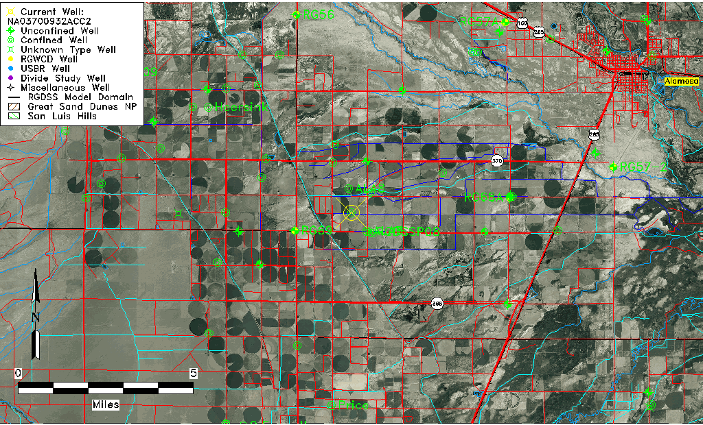
| Common Well ID | NA03700932ACC2 |
| USGS Well ID | 372430106003502 |
| USGS Station Name | NA03700932ACC2 |
| USGS Construction Date | 01/01/1957 |
| USGS Site Type | Well |
| USGS Site Use Information | Withdrawal of Water |
| USGS Groundwater Use Information | Irrigation |
| Data Source(s) | USGS |
| Location Data |
|---|
| TRS | NA03700932ACC2 |
| USGS TRS 1 | NA03700932ACC2 |
| USGS TRS | SWSWNES032T0037NR0009EN |
| Longitude/Latitude (NAD83) | -106.01030260 , 37.40833850 |
| Longitude/Latitude Data Source | GWSI decimal LAT/LONG field |
| USGS Longitude/Latitude (NAD83) | -106.0103026 , 37.40833850 |
| Easting, Northing RGDSS-NAD83 (US ft) | 102371.40 , 150323.03 |
| USGS Topography | Valley flat |
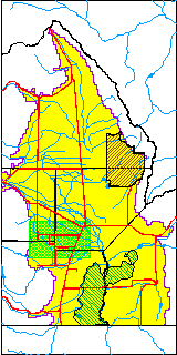
| USGS County | Alamosa County |
| Elevation and Depth Data |
|---|
| Ground Elevation (ft NAVD88) | 7593.11000000000 |
| Elevation Data Source | USGS GWSI database |
| USGS Ground Elevation (ft NGVD29) | 7589.00 |
| 1/3-Arc Second NED Ground Elevation (ft NAVD88) | 7592.50 |
| 1-Arc Second NED Ground Elevation (ft NAVD88) | 7592.19 |
| SRTM Ground Elevation (ft NAVD88) | 7592.16 |
| Total Depth (ft) | 2030.00 |
| USGS Well Depth (ft) | 2030.00 |
| Model Layer | 4 |
| Model Layer Source | Well Depth |
| Depth of Bottom of Layer 1 | 20 |
| Depth of Bottom of Layer 2 | 237 |
| Depth of Bottom of Layer 3 | 602 |
| Depth of Bottom of Layer 4 | 2167 |
| Additional Well Information | Geohydrology, Construction |
| Aquifer Information |
|---|
| Aquifer Type | Confined |
| Aquifer Type Source | TD Elevation/Model Layer |
| USGS Primary Aquifer | Cenozoic Erathem |
| USGS Hydrologic Unit | Alamosa-Trinchera |
| USGS Data Available | Water-level (GW.LEV) |
| Water-level Database Information |
|---|
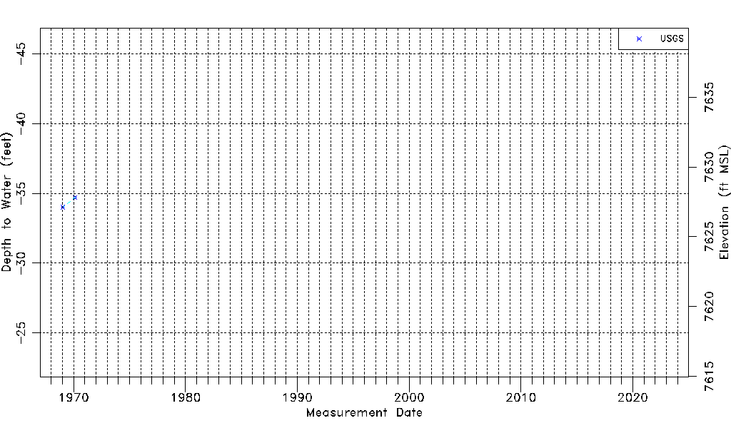
| Water-level Count | 2 |
| Water-level Date Range | 01/17/1969 thru 02/21/1970 |
| Monitored within the last 18 months | No, most recently on 02/21/1970 |
| Depth-to-Water Range (ft) | -34.70 to -34.00 |
| Water Table Elevation Range (ft NAVD88) | 7627.11 to 7627.81 |
| Water-Level-Source:Number-of-Measurements | USGS:2 |