| Well Information Table |
|---|
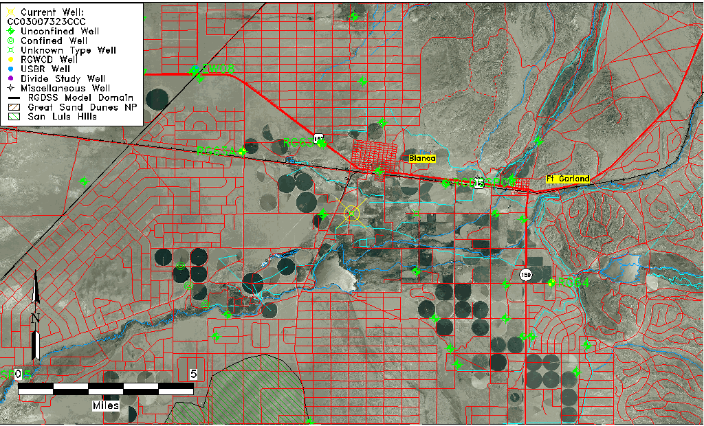
| Common Well ID | CC03007323CCC |
| USGS Well ID | 372503105311701 |
| USGS Station Name | CC03007323CCC |
| USGS Construction Date | 01/01/1969 |
| USGS Site Type | Well |
| USGS Site Use Information | Observation |
| USGS Groundwater Use Information | Unused |
| Data Source(s) | USGS |
| Location Data |
|---|
| TRS | CC03007323CCC |
| USGS TRS 1 | CC03007323CCC |
| USGS TRS | SWSWSWS023T0030SR0073WS |
| Longitude/Latitude (NAD83) | -105.52195730 , 37.41750819 |
| Longitude/Latitude Data Source | GWSI decimal LAT/LONG field |
| USGS Longitude/Latitude (NAD83) | -105.5219573 , 37.41750819 |
| Easting, Northing RGDSS-NAD83 (US ft) | 244163.87 , 153518.71 |
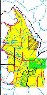
| USGS County | Costilla County |
| Elevation and Depth Data |
|---|
| Ground Elevation (ft NAVD88) | 7736.38000000000 |
| Elevation Data Source | USGS GWSI database |
| USGS Ground Elevation (ft NGVD29) | 7732.00 |
| 1/3-Arc Second NED Ground Elevation (ft NAVD88) | 7738.32 |
| 1-Arc Second NED Ground Elevation (ft NAVD88) | 7735.40 |
| SRTM Ground Elevation (ft NAVD88) | 7729.80 |
| Depth of Bottom of Layer 1 | 418 |
| Depth of Bottom of Layer 2 | 518 |
| Depth of Bottom of Layer 3 | 723 |
| Depth of Bottom of Layer 4 | 1938 |
| Additional Well Information | Geohydrology, Construction |
| Aquifer Information |
|---|
| Aquifer Type | Unknown |
| Aquifer Type Source | None |
| USGS Primary Aquifer | Cenozoic Erathem |
| USGS Hydrologic Unit | Alamosa-Trinchera |
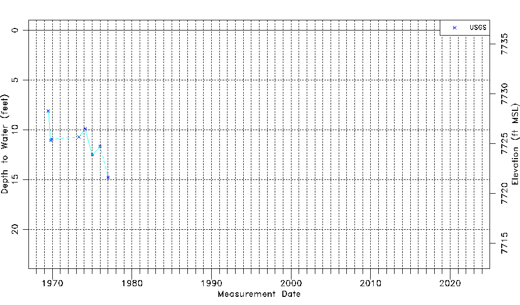
| USGS Data Available | Water-level (GW.LEV) |
| Water-level Database Information |
|---|
| Water-level Count | 8 |
| Water-level Date Range | 07/02/1969 thru 01/13/1977 |
| Monitored within the last 18 months | No, most recently on 01/13/1977 |
| Depth-to-Water Range (ft) | 8.12 to 14.78 |
| Water Table Elevation Range (ft NAVD88) | 7721.60 to 7728.26 |
| Water-Level-Source:Number-of-Measurements | USGSaguache Creek:8 |