| Well Information Table |
|---|
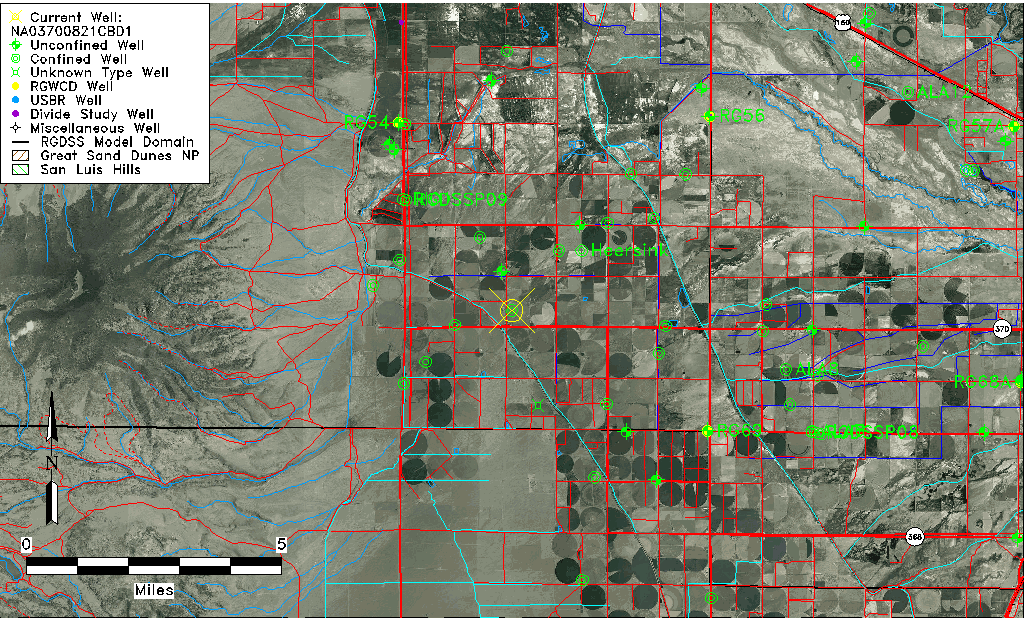
| Common Well ID | NA03700821CBD1 |
| USGS Well ID | 372605106063201 |
| USGS Station Name | NA03700821CBD1 |
| USGS Construction Date | 01/01/1919 |
| USGS Site Type | Well |
| USGS Site Use Information | Unused |
| USGS Groundwater Use Information | Unused |
| Data Source(s) | USGS |
| Location Data |
|---|
| TRS | NA03700821CBD1 |
| USGS TRS 1 | NA03700821CBD1 |
| Longitude/Latitude (NAD83) | -106.10947220 , 37.43472695 |
| Longitude/Latitude Data Source | GWSI decimal LAT/LONG field |
| USGS Longitude/Latitude (NAD83) | -106.1094722 , 37.43472695 |
| Easting, Northing RGDSS-NAD83 (US ft) | 73619.53 , 160047.46 |
| USGS Topography | Valley flat |
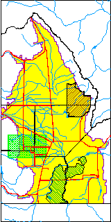
| USGS County | Rio Grande County |
| USGS Map Name | WAVERLY CO. |
| USGS Map Scale | 24000 |
| Elevation and Depth Data |
|---|
| Ground Elevation (ft NAVD88) | 7672.32000000000 |
| Elevation Data Source | USGS GWSI database |
| USGS Ground Elevation (ft NGVD29) | 7668.00 |
| 1/3-Arc Second NED Ground Elevation (ft NAVD88) | 7672.26 |
| 1-Arc Second NED Ground Elevation (ft NAVD88) | 7672.37 |
| SRTM Ground Elevation (ft NAVD88) | 7676.79 |
| Total Depth (ft) | 100.00 |
| USGS Hole Depth (ft) | 100.00 |
| USGS Well Depth (ft) | 100.00 |
| Model Layer | 2 |
| Model Layer Source | Well Depth |
| Depth of Bottom of Layer 1 | 38 |
| Depth of Bottom of Layer 2 | 167 |
| Depth of Bottom of Layer 3 | 412 |
| Depth of Bottom of Layer 4 | 1808 |
| Additional Well Information | Construction |
| Aquifer Information |
|---|
| Aquifer Type | Confined |
| Aquifer Type Source | TD Elevation/Model Layer |
| USGS Aquifer Type | Confined Single Aquifer |
| USGS Hydrologic Unit | Alamosa-Trinchera |
| USGS Data Available | Miscellaneous (GW.MISC) |
| Water-level Database Information |
|---|
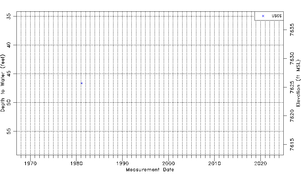
| Water-level Count | 1 |
| Water-level Date Range | 02/24/1981 thru 02/24/1981 |
| Monitored within the last 18 months | No, most recently on 02/24/1981 |
| Depth-to-Water Range (ft) | 46.64 to 46.64 |
| Water Table Elevation Range (ft NAVD88) | 7625.68 to 7625.68 |
| Water-Level-Source:Number-of-Measurements | USGS:1 |