| Well Information Table |
|---|
| Common Well ID | NA03701114BBC |
| USGS Well ID | 372642105445401 |
| USGS Station Name | NA03701114BBC |
| USGS Construction Date | 01/01/1967 |
| USGS Site Type | Well |
| USGS Site Use Information | Observation |
| USGS Groundwater Use Information | Unused |
| Data Source(s) | USGS |
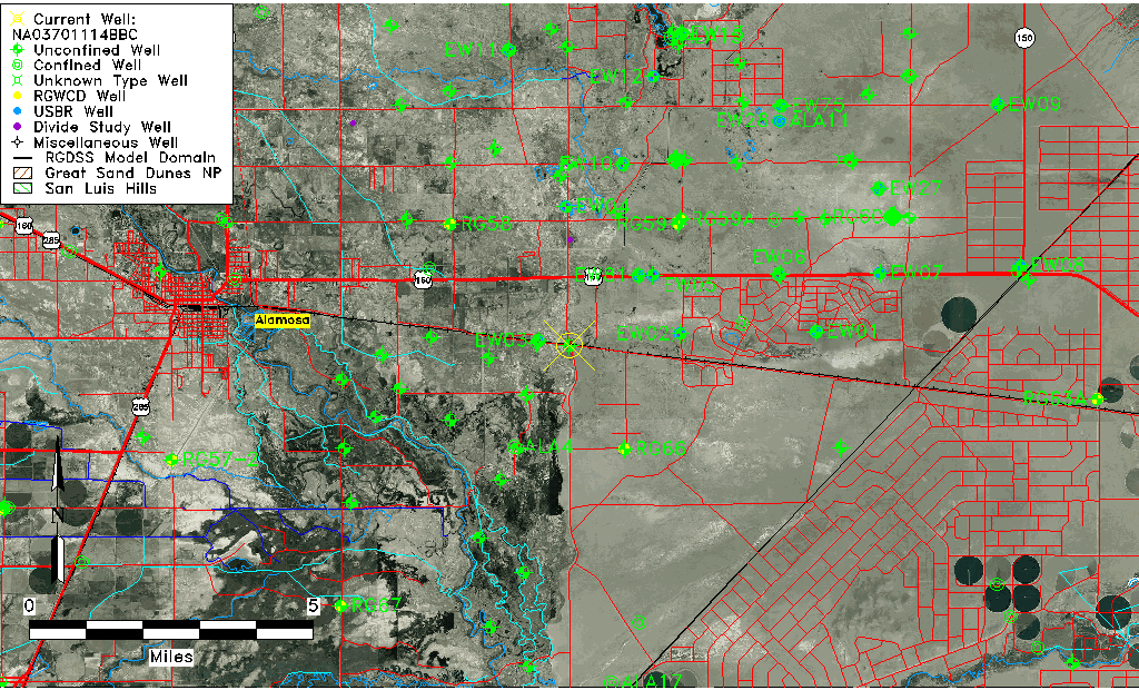
| Location Data |
|---|
| TRS | NA03701114BBC |
| USGS TRS 1 | NA03701114BBC |
| USGS TRS | SWNWNWS014T0037NR0011EN |
| Longitude/Latitude (NAD83) | -105.74743530 , 37.45683920 |
| Longitude/Latitude Data Source | GWSI decimal LAT/LONG field |
| USGS Longitude/Latitude (NAD83) | -105.7474353 , 37.45683920 |
| Easting, Northing RGDSS-NAD83 (US ft) | 178713.96 , 167809.59 |
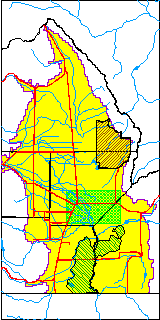
| USGS County | Alamosa County |
| USGS Map Name | BALDY |
| USGS Map Scale | 24000 |
| Elevation and Depth Data |
|---|
| Ground Elevation (ft NAVD88) | 7533.03000000000 |
| Elevation Data Source | USGS GWSI database |
| USGS Ground Elevation (ft NGVD29) | 7529.00 |
| 1/3-Arc Second NED Ground Elevation (ft NAVD88) | 7536.47 |
| 1-Arc Second NED Ground Elevation (ft NAVD88) | 7534.60 |
| SRTM Ground Elevation (ft NAVD88) | 7541.09 |
| Total Depth (ft) | 23.00 |
| USGS Well Depth (ft) | 23.00 |
| Model Layer | 1 |
| Model Layer Source | Well Depth |
| Depth of Bottom of Layer 1 | 68 |
| Depth of Bottom of Layer 2 | 175 |
| Depth of Bottom of Layer 3 | 662 |
| Depth of Bottom of Layer 4 | 2384 |
| Additional Well Information | Geohydrology, Construction |
| Aquifer Information |
|---|
| Aquifer Type | Unconfined |
| Aquifer Type Source | TD Elevation/Model Layer |
| USGS Primary Aquifer | Cenozoic Erathem |
| USGS Aquifer Type | Unconfined Single Aquifer |
| USGS Hydrologic Unit | Alamosa-Trinchera |
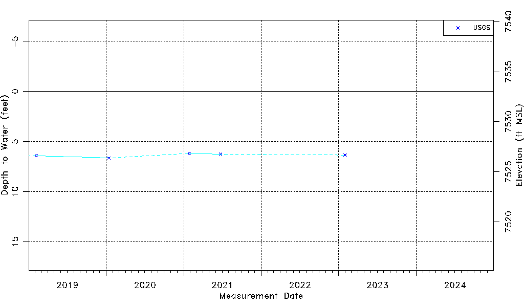
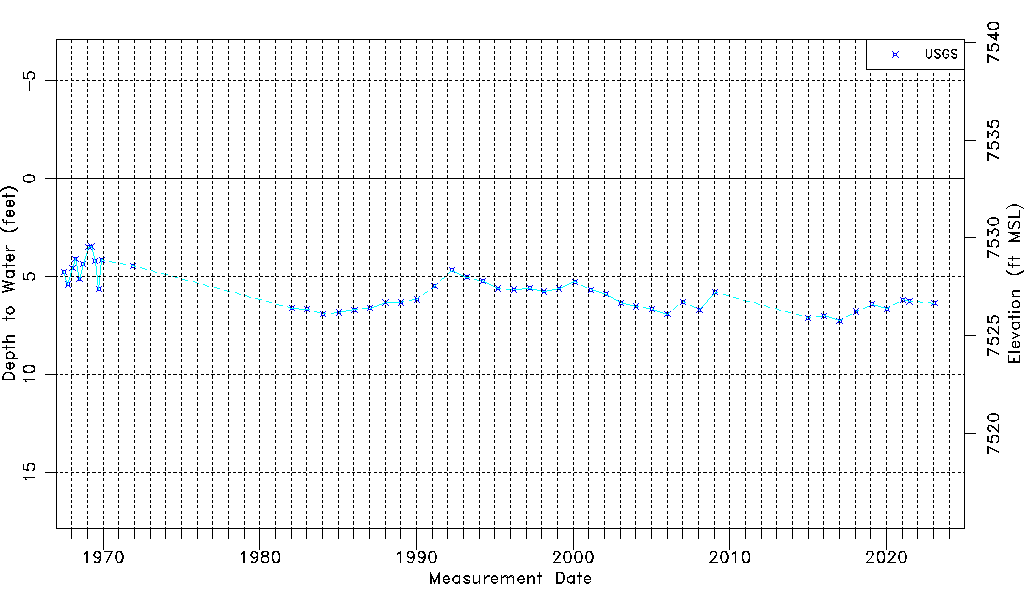
| USGS Data Available | Water-level (GW.LEV) |
| Water-level Database Information |
|---|
| Water-level Count | 49 |
| Water-level Date Range | 07/03/1967 thru 01/31/2023 |
| Monitored within the last 18 months | Yes, most recently on 01/31/2023 |
| Depth-to-Water Range (ft) | 3.47 to 7.27 |
| Water Table Elevation Range (ft NAVD88) | 7525.76 to 7529.56 |
| Water-Level-Source:Number-of-Measurements | USGS:49 |