| Well Information Table |
|---|
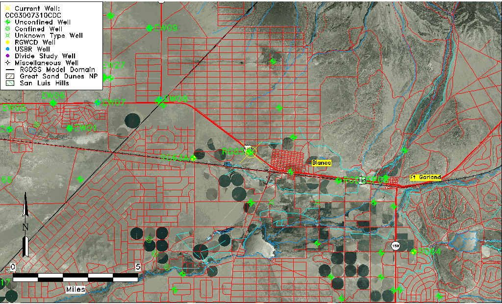
| Common Well ID | CC03007310CDC |
| USGS Well ID | 372647105321001 |
| USGS Station Name | CC03007310CDC |
| USGS Site Type | Well |
| USGS Site Use Information | Observation |
| USGS Groundwater Use Information | Unused |
| Data Source(s) | USGS |
| Location Data |
|---|
| TRS | CC03007310CDC |
| USGS TRS 1 | CC03007310CDC |
| USGS TRS | SWSESWS010T0030SR0073WS |
| Longitude/Latitude (NAD83) | -105.53667980 , 37.44639620 |
| Longitude/Latitude Data Source | GWSI decimal LAT/LONG field |
| USGS Longitude/Latitude (NAD83) | -105.5366798 , 37.44639620 |
| Easting, Northing RGDSS-NAD83 (US ft) | 239874.62 , 164027.20 |
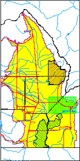
| USGS County | Costilla County |
| Elevation and Depth Data |
|---|
| Ground Elevation (ft NAVD88) | 7728.38000000000 |
| Elevation Data Source | USGS GWSI database |
| USGS Ground Elevation (ft NGVD29) | 7724.00 |
| 1/3-Arc Second NED Ground Elevation (ft NAVD88) | 7725.68 |
| 1-Arc Second NED Ground Elevation (ft NAVD88) | 7726.07 |
| SRTM Ground Elevation (ft NAVD88) | 7733.18 |
| Total Depth (ft) | 20.00 |
| USGS Well Depth (ft) | 20.00 |
| Model Layer | 1 |
| Model Layer Source | Well Depth |
| Depth of Bottom of Layer 1 | 411 |
| Depth of Bottom of Layer 2 | 511 |
| Depth of Bottom of Layer 3 | 703 |
| Depth of Bottom of Layer 4 | 1848 |
| Additional Well Information | Geohydrology, Construction |
| Aquifer Information |
|---|
| Aquifer Type | Unconfined |
| Aquifer Type Source | TD Elevation/Model Layer |
| USGS Primary Aquifer | Cenozoic Erathem |
| USGS Hydrologic Unit | Alamosa-Trinchera |
| USGS Data Available | Water-level (GW.LEV) |
| Water-level Database Information |
|---|
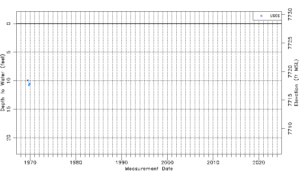
| Water-level Count | 3 |
| Water-level Date Range | 07/01/1969 thru 11/26/1969 |
| Monitored within the last 18 months | No, most recently on 11/26/1969 |
| Depth-to-Water Range (ft) | 9.93 to 10.78 |
| Water Table Elevation Range (ft NAVD88) | 7717.60 to 7718.45 |
| Water-Level-Source:Number-of-Measurements | USGSaguache Creek:3 |