| Well Information Table |
|---|
| Common Well ID | NA03700815BBC |
| USGS Well ID | 372700106053201 |
| USGS Station Name | NA03700815BBC |
| USGS Site Type | Well |
| USGS Site Use Information | Withdrawal of Water |
| USGS Groundwater Use Information | Irrigation |
| Data Source(s) | USGS |
| Location Data |
|---|
| TRS | NA03700815BBC |
| USGS TRS 1 | NA03700815BBC |
| USGS TRS | SWNWNWS015T0037NR0008EN |
| Longitude/Latitude (NAD83) | -106.09281067 , 37.45184330 |
| Longitude/Latitude Data Source | Davis Engineering Survey |
| USGS Longitude/Latitude (NAD83) | -106.0940274 , 37.45564320 |
| Easting, Northing RGDSS-NAD83 (US ft) | 78483.86 , 166256.08 |
| USGS Topography | Valley flat |
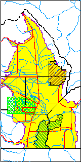
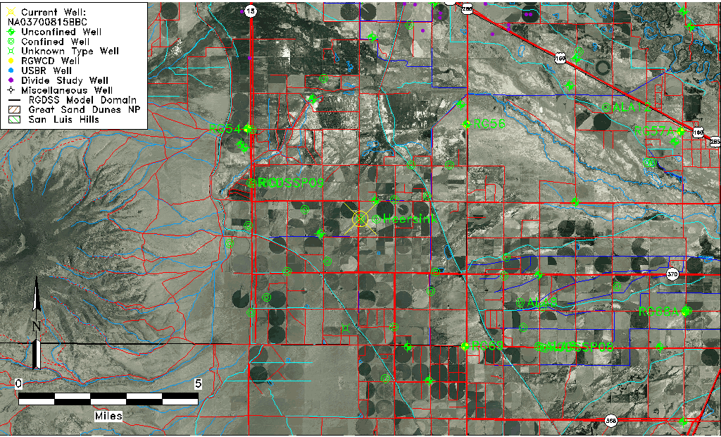
| USGS County | Rio Grande County |
| Elevation and Depth Data |
|---|
| Ground Elevation (ft NAVD88) | 7634.30000000000 |
| Elevation Data Source | USGS GWSI database |
| USGS Ground Elevation (ft NGVD29) | 7630.00 |
| 1/3-Arc Second NED Ground Elevation (ft NAVD88) | 7637.24 |
| 1-Arc Second NED Ground Elevation (ft NAVD88) | 7637.31 |
| SRTM Ground Elevation (ft NAVD88) | 7646.20 |
| Total Depth (ft) | 50.00 |
| USGS Well Depth (ft) | 50.00 |
| Model Layer | 2 |
| Model Layer Source | Well Depth |
| Depth of Bottom of Layer 1 | 31 |
| Depth of Bottom of Layer 2 | 187 |
| Depth of Bottom of Layer 3 | 362 |
| Depth of Bottom of Layer 4 | 2035 |
| Additional Well Information | Geohydrology, Construction |
| Aquifer Information |
|---|
| Aquifer Type | Confined |
| Aquifer Type Source | TD Elevation/Model Layer |
| USGS Primary Aquifer | Cenozoic Erathem |
| USGS Aquifer Type | Unconfined Single Aquifer |
| USGS Hydrologic Unit | Alamosa-Trinchera |
| USGS Data Available | Water-level (GW.LEV) |
| Water-level Database Information |
|---|
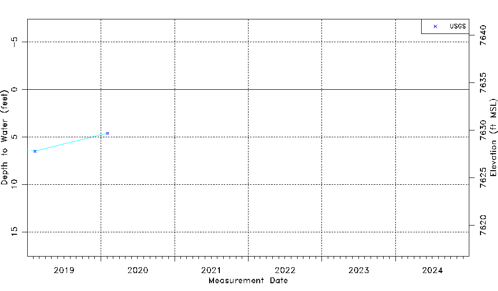
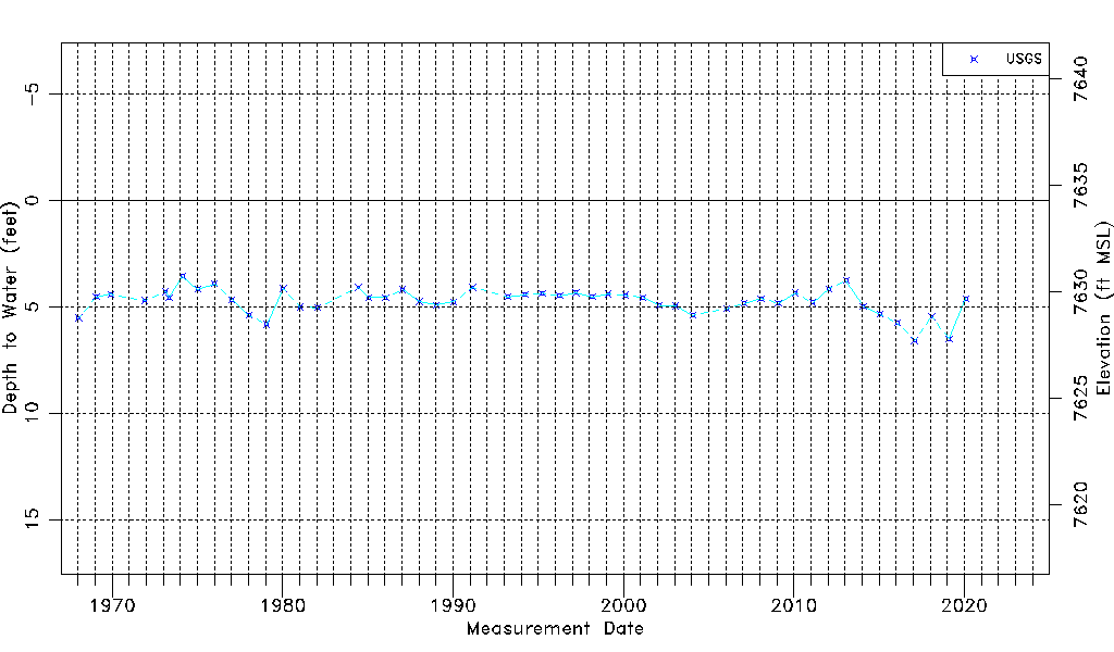
| Water-level Count | 50 |
| Water-level Date Range | 01/15/1968 thru 02/03/2020 |
| Monitored within the last 18 months | No, most recently on 02/03/2020 |
| Depth-to-Water Range (ft) | 3.56 to 6.59 |
| Water Table Elevation Range (ft NAVD88) | 7627.71 to 7630.74 |
| Water-Level-Source:Number-of-Measurements | USGS:50 |