| Well Information Table |
|---|
| Common Well ID | NA03701002CCC |
| USGS Well ID | 372825105511501 |
| USGS Station Name | NA03701002CCC |
| USGS Construction Date | 01/01/1966 |
| USGS Site Type | Well |
| USGS Site Use Information | Withdrawal of Water |
| USGS Groundwater Use Information | Commercial |
| Data Source(s) | USGS |
| Location Data |
|---|
| TRS | NA03701002CCC |
| USGS TRS 1 | NA03701002CCC |
| USGS TRS | SWSWSWS002T0037NR0010EN |
| Longitude/Latitude (NAD83) | -105.85474340 , 37.47361586 |
| Longitude/Latitude Data Source | GWSI decimal LAT/LONG field |
| USGS Longitude/Latitude (NAD83) | -105.8547434 , 37.47361586 |
| Easting, Northing RGDSS-NAD83 (US ft) | 147587.48 , 173959.43 |
| USGS Topography | Valley flat |
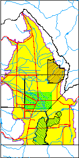
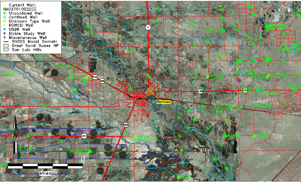
| USGS County | Alamosa County |
| Elevation and Depth Data |
|---|
| Ground Elevation (ft NAVD88) | 7540.81000000000 |
| Elevation Data Source | USGS GWSI database |
| USGS Ground Elevation (ft NGVD29) | 7537.00 |
| 1/3-Arc Second NED Ground Elevation (ft NAVD88) | 7538.15 |
| 1-Arc Second NED Ground Elevation (ft NAVD88) | 7541.22 |
| SRTM Ground Elevation (ft NAVD88) | 7538.93 |
| Total Depth (ft) | 1630.00 |
| USGS Well Depth (ft) | 1630.00 |
| Model Layer | 4 |
| Model Layer Source | Well Depth |
| Depth of Bottom of Layer 1 | 48 |
| Depth of Bottom of Layer 2 | 339 |
| Depth of Bottom of Layer 3 | 673 |
| Depth of Bottom of Layer 4 | 2276 |
| Additional Well Information | Geohydrology, Construction |
| Aquifer Information |
|---|
| Aquifer Type | Confined |
| Aquifer Type Source | TD Elevation/Model Layer |
| USGS Primary Aquifer | Cenozoic Erathem |
| USGS Hydrologic Unit | Alamosa-Trinchera |
| USGS Data Available | Water-level (GW.LEV) |
| Water-level Database Information |
|---|
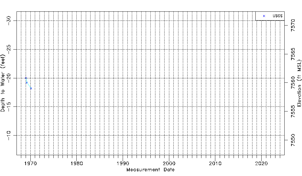
| Water-level Count | 3 |
| Water-level Date Range | 01/20/1969 thru 02/17/1970 |
| Monitored within the last 18 months | No, most recently on 02/17/1970 |
| Depth-to-Water Range (ft) | -20.00 to -18.20 |
| Water Table Elevation Range (ft NAVD88) | 7559.01 to 7560.81 |
| Water-Level-Source:Number-of-Measurements | USGS:3 |