| Well Information Table |
|---|
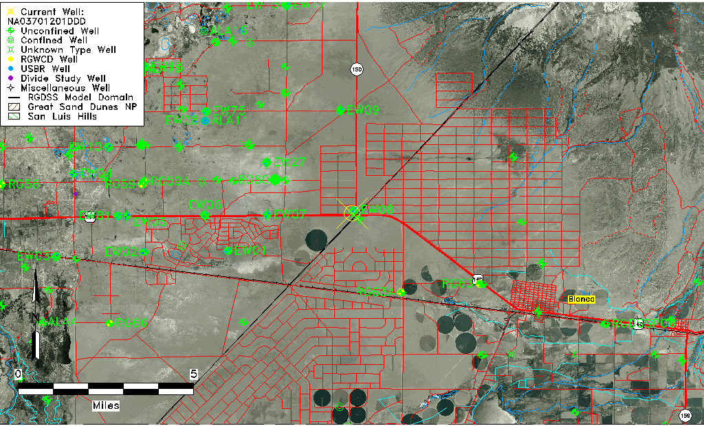
| Common Well ID | NA03701201DDD |
| USGS Well ID | 372833105361301 |
| USGS Station Name | NA03701201DDD |
| USGS Construction Date | 01/01/1969 |
| USGS Site Type | Well |
| USGS Site Use Information | Destroyed |
| USGS Groundwater Use Information | Unused |
| Data Source(s) | USGS |
| Location Data |
|---|
| TRS | NA03701201DDD |
| USGS TRS 1 | NA03701201DDD |
| USGS TRS | SESESES001T0037NR0012EN |
| Longitude/Latitude (NAD83) | -105.60418150 , 37.47583950 |
| Longitude/Latitude Data Source | GWSI decimal LAT/LONG field |
| USGS Longitude/Latitude (NAD83) | -105.6041815 , 37.47583950 |
| Easting, Northing RGDSS-NAD83 (US ft) | 220277.41 , 174723.47 |
| USGS Topography | Valley flat |
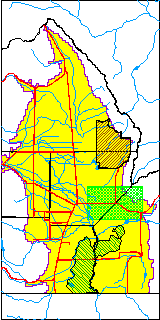
| USGS County | Alamosa County |
| Elevation and Depth Data |
|---|
| Ground Elevation (ft NAVD88) | 7649.24000000000 |
| Elevation Data Source | USGS GWSI database |
| USGS Ground Elevation (ft NGVD29) | 7645.00 |
| 1/3-Arc Second NED Ground Elevation (ft NAVD88) | 7648.75 |
| 1-Arc Second NED Ground Elevation (ft NAVD88) | 7648.59 |
| SRTM Ground Elevation (ft NAVD88) | 7650.67 |
| Total Depth (ft) | 87.00 |
| USGS Well Depth (ft) | 87.00 |
| Model Layer | 1 |
| Model Layer Source | Well Depth |
| Depth of Bottom of Layer 1 | 177 |
| Depth of Bottom of Layer 2 | 272 |
| Depth of Bottom of Layer 3 | 541 |
| Depth of Bottom of Layer 4 | 1518 |
| Additional Well Information | Geohydrology, Construction |
| Aquifer Information |
|---|
| Aquifer Type | Unconfined |
| Aquifer Type Source | TD Elevation/Model Layer |
| USGS Primary Aquifer | Cenozoic Erathem |
| USGS Hydrologic Unit | San Luis |
| USGS Data Available | Water-level (GW.LEV) |
| Water-level Database Information |
|---|
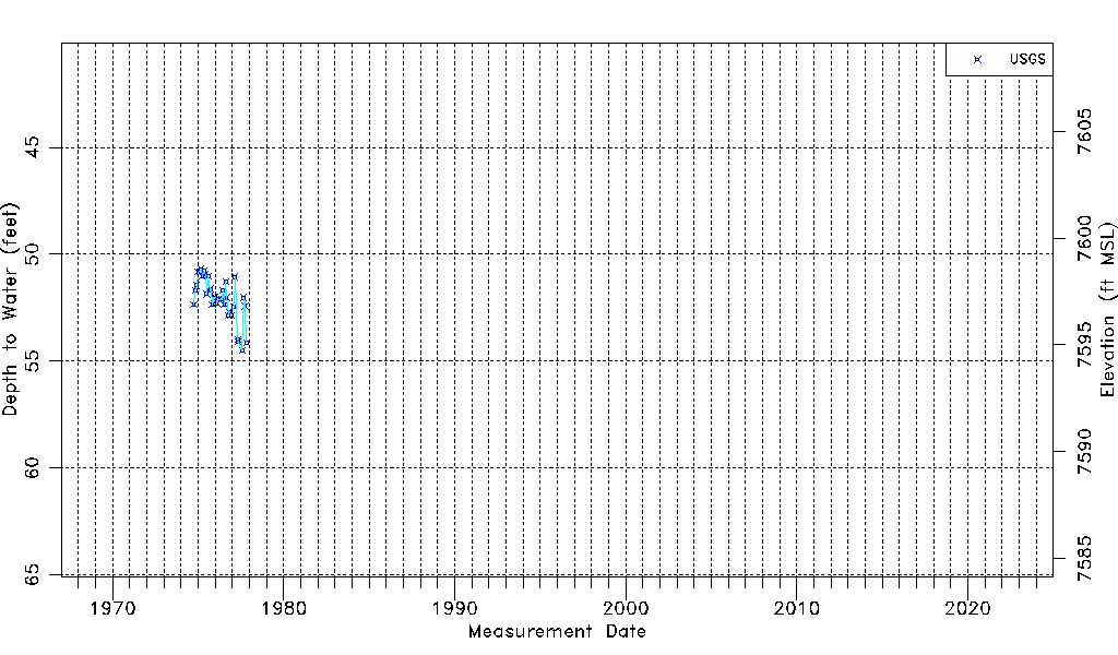
| Water-level Count | 35 |
| Water-level Date Range | 10/05/1974 thru 11/05/1977 |
| Monitored within the last 18 months | No, most recently on 11/05/1977 |
| Depth-to-Water Range (ft) | 50.69 to 54.50 |
| Water Table Elevation Range (ft NAVD88) | 7594.74 to 7598.55 |
| Water-Level-Source:Number-of-Measurements | USGS:35 |