| Well Information Table |
|---|
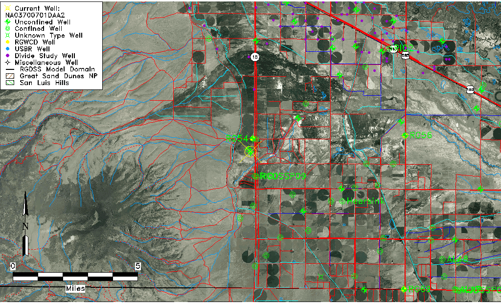
| Common Well ID | NA03700701DAA2 |
| USGS Well ID | 372849106090202 |
| USGS Station Name | NA03700701DAA2 |
| USGS Construction Date | 11/03/2006 |
| USGS Site Type | Well |
| USGS Site Use Information | Unknown |
| USGS Groundwater Use Information | Unknown |
| Data Source(s) | USGS |
| Location Data |
|---|
| TRS | NA03700701DAA2 |
| USGS TRS 1 | NA03700701DAA2 |
| USGS TRS | NENESES1 T37N R7E N |
| Longitude/Latitude (NAD83) | -106.15170000 , 37.48028056 |
| Longitude/Latitude Data Source | GWSI decimal LAT/LONG field |
| USGS Longitude/Latitude (NAD83) | -106.1517000 , 37.48028056 |
| Easting, Northing RGDSS-NAD83 (US ft) | 61446.38 , 176689.78 |
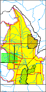
| USGS County | Rio Grande County |
| USGS Map Name | FULCHER GULCH |
| USGS Map Scale | 24000 |
| Elevation and Depth Data |
|---|
| Ground Elevation (ft NAVD88) | 7662.00000000000 |
| Elevation Data Source | USGS GWSI database |
| USGS Ground Elevation (ft NAVD88) | 7662.00 |
| 1/3-Arc Second NED Ground Elevation (ft NAVD88) | 7657.60 |
| 1-Arc Second NED Ground Elevation (ft NAVD88) | 7657.26 |
| SRTM Ground Elevation (ft NAVD88) | 7670.60 |
| Total Depth (ft) | 25.90 |
| USGS Hole Depth (ft) | 26.00 |
| USGS Well Depth (ft) | 25.90 |
| Model Layer | 1 |
| Model Layer Source | Well Depth |
| Depth of Bottom of Layer 1 | 30 |
| Depth of Bottom of Layer 2 | 104 |
| Depth of Bottom of Layer 3 | 494 |
| Depth of Bottom of Layer 4 | 1379 |
| Additional Well Information | NONE |
| Aquifer Information |
|---|
| Aquifer Type | Unconfined |
| Aquifer Type Source | TD Elevation/Model Layer |
| USGS Primary Aquifer | 112ALMS |
| USGS Hydrologic Unit | Alamosa-Trinchera |
| USGS Data Available | Geohydrologic |
| Water-level Database Information |
|---|
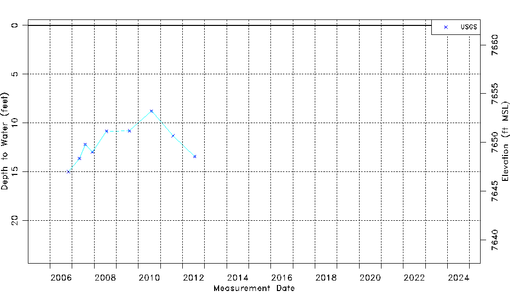
| Water-level Count | 9 |
| Water-level Date Range | 11/03/2006 thru 07/24/2012 |
| Monitored within the last 18 months | No, most recently on 07/24/2012 |
| Depth-to-Water Range (ft) | 8.78 to 15.00 |
| Water Table Elevation Range (ft NAVD88) | 7647.00 to 7653.22 |
| Water-Level-Source:Number-of-Measurements | USGSaguache Creek:9 |