| Well Information Table |
|---|
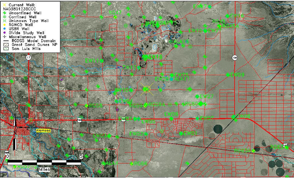
| Common Well ID | NA03801230CCC |
| USGS Well ID | 372935105425501 |
| USGS Station Name | NA03801230CCC |
| USGS Site Type | Well |
| USGS Site Use Information | Observation |
| USGS Groundwater Use Information | Unused |
| Data Source(s) | USGS |
| Location Data |
|---|
| TRS | NA03801230CCC |
| USGS TRS 1 | NA03801230CCC |
| USGS TRS | SWSWSWS030T0038NR0012EN |
| Longitude/Latitude (NAD83) | -105.71057320 , 37.50417160 |
| Longitude/Latitude Data Source | GWSI decimal LAT/LONG field |
| USGS Longitude/Latitude (NAD83) | -105.7105732 , 37.50417160 |
| Easting, Northing RGDSS-NAD83 (US ft) | 189417.73 , 185032.04 |
| USGS Topography | Valley flat |
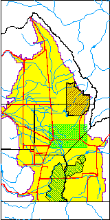
| USGS County | Alamosa County |
| USGS Map Name | DRY LAKES |
| USGS Map Scale | 24000 |
| Elevation and Depth Data |
|---|
| Ground Elevation (ft NAVD88) | 7536.06000000000 |
| Elevation Data Source | USGS GWSI database |
| USGS Ground Elevation (ft NGVD29) | 7532.00 |
| 1/3-Arc Second NED Ground Elevation (ft NAVD88) | 7534.61 |
| 1-Arc Second NED Ground Elevation (ft NAVD88) | 7538.40 |
| SRTM Ground Elevation (ft NAVD88) | 7542.59 |
| Total Depth (ft) | 14.00 |
| USGS Well Depth (ft) | 14.00 |
| Model Layer | 1 |
| Model Layer Source | Well Depth |
| Depth of Bottom of Layer 1 | 59 |
| Depth of Bottom of Layer 2 | 265 |
| Depth of Bottom of Layer 3 | 797 |
| Depth of Bottom of Layer 4 | 2601 |
| Additional Well Information | Geohydrology, Construction |
| Aquifer Information |
|---|
| Aquifer Type | Unconfined |
| Aquifer Type Source | TD Elevation/Model Layer |
| USGS Primary Aquifer | Cenozoic Erathem |
| USGS Hydrologic Unit | San Luis |
| USGS Data Available | Water-level (GW.LEV) |
| Water-level Database Information |
|---|
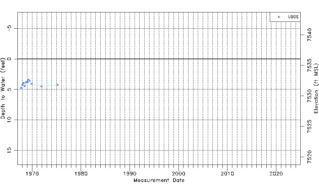
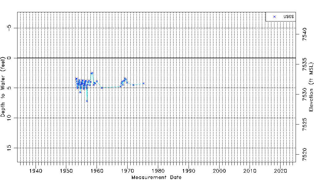
| Water-level Count | 65 |
| Water-level Date Range | 05/04/1953 thru 04/01/1975 |
| Monitored within the last 18 months | No, most recently on 04/01/1975 |
| Depth-to-Water Range (ft) | 2.50 to 7.17 |
| Water Table Elevation Range (ft NAVD88) | 7528.89 to 7533.56 |
| Water-Level-Source:Number-of-Measurements | USGSaguache Creek:65 |