| Well Information Table |
|---|
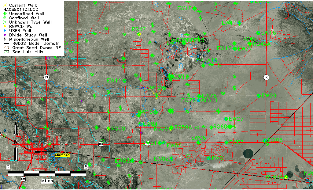
| Common Well ID | NA03801124CCC |
| USGS Well ID | 373033105435101 |
| USGS Station Name | NA03801124CCC |
| USGS Construction Date | 01/01/1966 |
| USGS Site Type | Well |
| USGS Site Use Information | Observation |
| USGS Groundwater Use Information | Unused |
| Data Source(s) | USGS |
| Location Data |
|---|
| TRS | NA03801124CCC |
| USGS TRS 1 | NA03801124CCC |
| USGS TRS | SWSWSWS024T0038NR0011EN |
| Longitude/Latitude (NAD83) | -105.72946260 , 37.51889340 |
| Longitude/Latitude Data Source | GWSI decimal LAT/LONG field |
| USGS Longitude/Latitude (NAD83) | -105.7294626 , 37.51889340 |
| Easting, Northing RGDSS-NAD83 (US ft) | 183943.34 , 190393.72 |
| USGS Topography | Valley flat |
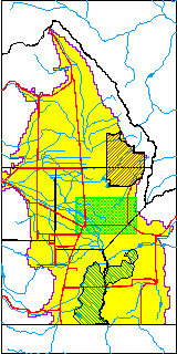
| USGS County | Alamosa County |
| USGS Map Name | DRY LAKES |
| USGS Map Scale | 24000 |
| Elevation and Depth Data |
|---|
| Ground Elevation (ft NAVD88) | 7523.02000000000 |
| Elevation Data Source | USGS GWSI database |
| USGS Ground Elevation (ft NGVD29) | 7519.00 |
| 1/3-Arc Second NED Ground Elevation (ft NAVD88) | 7520.69 |
| 1-Arc Second NED Ground Elevation (ft NAVD88) | 7525.54 |
| SRTM Ground Elevation (ft NAVD88) | 7526.25 |
| Total Depth (ft) | 21.00 |
| USGS Well Depth (ft) | 21.00 |
| Model Layer | 1 |
| Model Layer Source | Well Depth |
| Depth of Bottom of Layer 1 | 40 |
| Depth of Bottom of Layer 2 | 311 |
| Depth of Bottom of Layer 3 | 820 |
| Depth of Bottom of Layer 4 | 2598 |
| Additional Well Information | Geohydrology, Construction |
| Aquifer Information |
|---|
| Aquifer Type | Unconfined |
| Aquifer Type Source | TD Elevation/Model Layer |
| USGS Primary Aquifer | Cenozoic Erathem |
| USGS Hydrologic Unit | San Luis |
| USGS Data Available | Water-level (GW.LEV) |
| Water-level Database Information |
|---|
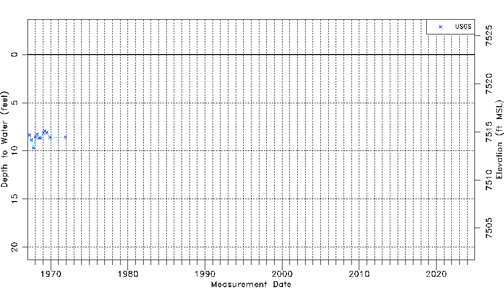
| Water-level Count | 12 |
| Water-level Date Range | 03/31/1967 thru 12/06/1971 |
| Monitored within the last 18 months | No, most recently on 12/06/1971 |
| Depth-to-Water Range (ft) | 7.93 to 9.70 |
| Water Table Elevation Range (ft NAVD88) | 7513.32 to 7515.09 |
| Water-Level-Source:Number-of-Measurements | USGS:12 |