| Well Information Table |
|---|
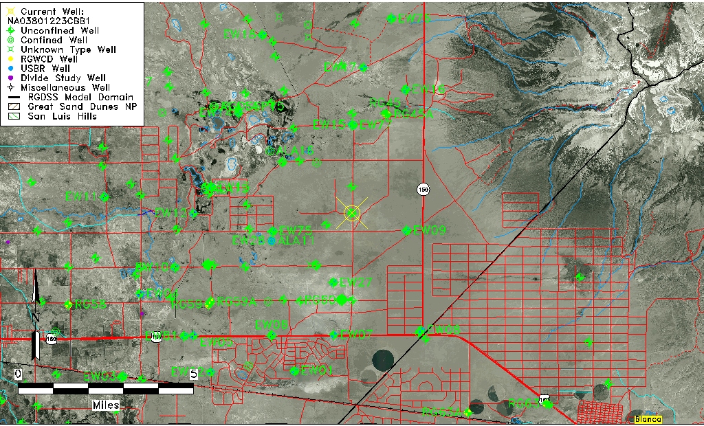
| Common Well ID | NA03801223CBB1 |
| USGS Well ID | 373132105381701 |
| USGS Station Name | NA03801223CBB1 |
| USGS Construction Date | 08/17/1977 |
| USGS Site Type | Well |
| USGS Site Use Information | Observation |
| USGS Groundwater Use Information | Unknown |
| Data Source(s) | USGS |
| Location Data |
|---|
| TRS | NA03801223CBB1 |
| USGS TRS 1 | NA03801223CBB1 |
| Longitude/Latitude (NAD83) | -105.63862680 , 37.52556040 |
| Longitude/Latitude Data Source | GWSI decimal LAT/LONG field |
| USGS Longitude/Latitude (NAD83) | -105.6386268 , 37.52556040 |
| Easting, Northing RGDSS-NAD83 (US ft) | 210278.84 , 192816.58 |
| USGS Topography | Valley flat |
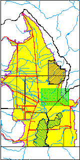
| USGS County | Alamosa County |
| USGS Map Name | DRY LAKES |
| USGS Map Scale | 24000 |
| Elevation and Depth Data |
|---|
| Ground Elevation (ft NAVD88) | 7587.78000000000 |
| Elevation Data Source | USGS GWSI database |
| USGS Ground Elevation (ft NGVD29) | 7583.60 |
| 1/3-Arc Second NED Ground Elevation (ft NAVD88) | 7585.03 |
| 1-Arc Second NED Ground Elevation (ft NAVD88) | 7587.83 |
| SRTM Ground Elevation (ft NAVD88) | 7575.77 |
| Total Depth (ft) | 150.00 |
| USGS Hole Depth (ft) | 150.00 |
| USGS Well Depth (ft) | 150.00 |
| Model Layer | 2 |
| Model Layer Source | Well Depth |
| Depth of Bottom of Layer 1 | 102 |
| Depth of Bottom of Layer 2 | 358 |
| Depth of Bottom of Layer 3 | 754 |
| Depth of Bottom of Layer 4 | 1988 |
| Additional Well Information | Logs, Construction |
| Aquifer Information |
|---|
| Aquifer Type | Confined |
| Aquifer Type Source | TD Elevation/Model Layer |
| USGS Hydrologic Unit | San Luis |
| USGS Data Available | Water-level (GW.LEV) |
| Water-level Database Information |
|---|
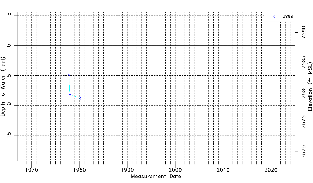
| Water-level Count | 3 |
| Water-level Date Range | 10/19/1977 thru 01/29/1980 |
| Monitored within the last 18 months | No, most recently on 01/29/1980 |
| Depth-to-Water Range (ft) | 4.88 to 8.83 |
| Water Table Elevation Range (ft NAVD88) | 7578.95 to 7582.90 |
| Water-Level-Source:Number-of-Measurements | USGS:3 |