| Well Information Table |
|---|
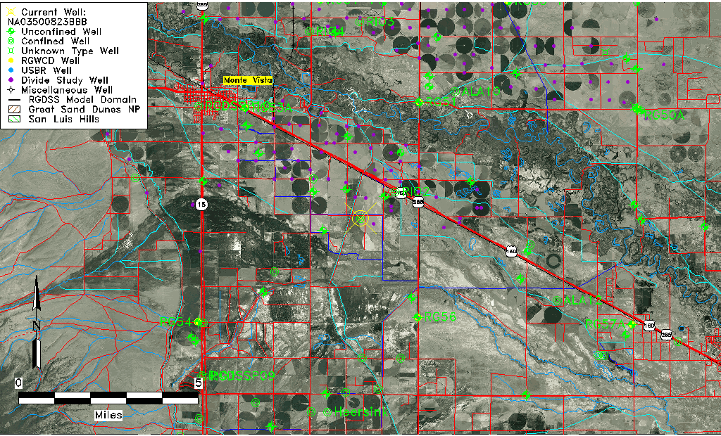
| Common Well ID | NA03500823BBB |
| USGS Well ID | 373148106040401 |
| USGS Station Name | NA03500823BBB |
| USGS Site Type | Well |
| USGS Site Use Information | Withdrawal of Water |
| USGS Groundwater Use Information | Domestic |
| Data Source(s) | USGS |
| Location Data |
|---|
| TRS | NA03500823BBB |
| USGS TRS 1 | NA03500823BBB |
| USGS TRS | NENWS23 T38N R08E N |
| Longitude/Latitude (NAD83) | -106.06835990 , 37.53000309 |
| Longitude/Latitude Data Source | GWSI decimal LAT/LONG field |
| USGS Longitude/Latitude (NAD83) | -106.0683599 , 37.53000309 |
| Easting, Northing RGDSS-NAD83 (US ft) | 85699.98 , 194677.00 |
| USGS Topography | Valley flat |
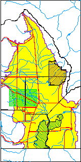
| USGS County | Rio Grande County |
| USGS Map Name | HOMELAKE, CO |
| USGS Map Scale | 24000 |
| Elevation and Depth Data |
|---|
| Ground Elevation (ft NAVD88) | 7613.00000000000 |
| Elevation Data Source | USGS GWSI database |
| USGS Ground Elevation (ft NAVD88) | 7613.00 |
| 1/3-Arc Second NED Ground Elevation (ft NAVD88) | 7613.26 |
| 1-Arc Second NED Ground Elevation (ft NAVD88) | 7613.31 |
| SRTM Ground Elevation (ft NAVD88) | 7614.86 |
| Total Depth (ft) | 60.50 |
| USGS Hole Depth (ft) | 62.00 |
| USGS Well Depth (ft) | 60.50 |
| Model Layer | 2 |
| Model Layer Source | Well Depth |
| Depth of Bottom of Layer 1 | 42 |
| Depth of Bottom of Layer 2 | 168 |
| Depth of Bottom of Layer 3 | 575 |
| Depth of Bottom of Layer 4 | 2283 |
| Additional Well Information | NONE |
| Aquifer Information |
|---|
| Aquifer Type | Confined |
| Aquifer Type Source | TD Elevation/Model Layer |
| USGS Hydrologic Unit | Alamosa-Trinchera |
| USGS Data Available | Miscellaneous (GW.MISC) |
| Water-level Database Information |
|---|
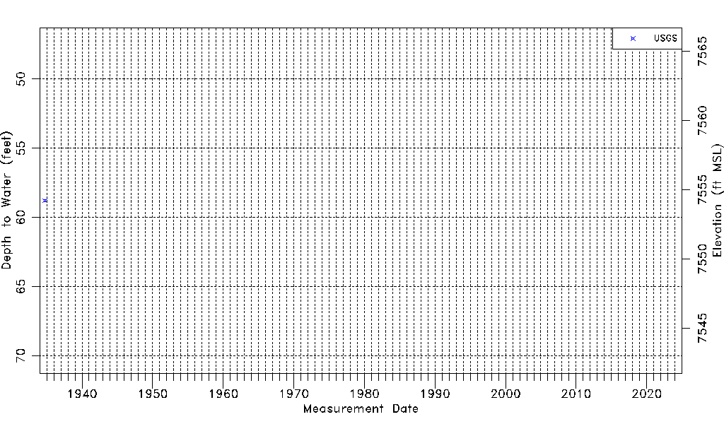
| Water-level Count | 1 |
| Water-level Date Range | 09/24/1934 thru 09/24/1934 |
| Monitored within the last 18 months | No, most recently on 09/24/1934 |
| Depth-to-Water Range (ft) | 58.78 to 58.78 |
| Water Table Elevation Range (ft NAVD88) | 7554.22 to 7554.22 |
| Water-Level-Source:Number-of-Measurements | USGS:1 |