| Well Information Table |
|---|
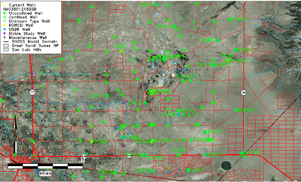
| Common Well ID | NA03801218BBB |
| USGS Well ID | 373212105425001 |
| USGS Station Name | NA03801218BBB |
| USGS Construction Date | 01/01/1967 |
| USGS Site Type | Well |
| USGS Site Use Information | Observation |
| USGS Groundwater Use Information | Unused |
| Data Source(s) | USGS |
| Location Data |
|---|
| TRS | NA03801218BBB |
| USGS TRS 1 | NA03801218BBB |
| USGS TRS | NWNWNWS018T0038NR0012EN |
| Longitude/Latitude (NAD83) | -105.71446220 , 37.53667090 |
| Longitude/Latitude Data Source | GWSI decimal LAT/LONG field |
| USGS Longitude/Latitude (NAD83) | -105.7144622 , 37.53667090 |
| Easting, Northing RGDSS-NAD83 (US ft) | 188295.54 , 196862.40 |
| USGS Topography | Valley flat |
| USGS County | Alamosa County |
| Elevation and Depth Data |
|---|
| Ground Elevation (ft NAVD88) | 7526.06000000000 |
| Elevation Data Source | USGS GWSI database |
| USGS Ground Elevation (ft NGVD29) | 7522.00 |
| 1/3-Arc Second NED Ground Elevation (ft NAVD88) | 7523.39 |
| 1-Arc Second NED Ground Elevation (ft NAVD88) | 7521.27 |
| SRTM Ground Elevation (ft NAVD88) | 7526.35 |
| Total Depth (ft) | 21.00 |
| USGS Well Depth (ft) | 21.00 |
| Model Layer | 1 |
| Model Layer Source | Well Depth |
| Depth of Bottom of Layer 1 | 31 |
| Depth of Bottom of Layer 2 | 279 |
| Depth of Bottom of Layer 3 | 857 |
| Depth of Bottom of Layer 4 | 2602 |
| Additional Well Information | Geohydrology, Construction |
| Aquifer Information |
|---|
| Aquifer Type | Unconfined |
| Aquifer Type Source | TD Elevation/Model Layer |
| USGS Primary Aquifer | Cenozoic Erathem |
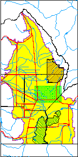
| USGS Hydrologic Unit | San Luis |
| USGS Data Available | Water-level (GW.LEV) |
| Water-level Database Information |
|---|
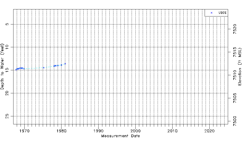
| Water-level Count | 16 |
| Water-level Date Range | 10/04/1967 thru 01/15/1981 |
| Monitored within the last 18 months | No, most recently on 01/15/1981 |
| Depth-to-Water Range (ft) | 13.58 to 14.88 |
| Water Table Elevation Range (ft NAVD88) | 7511.18 to 7512.48 |
| Water-Level-Source:Number-of-Measurements | USGSaguache Creek:16 |