| Well Information Table |
|---|
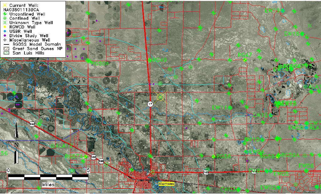
| Common Well ID | NA03801113BCA |
| USGS Well ID | 373230105504401 |
| USGS Station Name | NA03801113BCA |
| USGS Site Type | Well |
| USGS Site Use Information | Withdrawal of Water |
| USGS Groundwater Use Information | Irrigation |
| Data Source(s) | USGS |
| Location Data |
|---|
| TRS | NA03801113BCA |
| USGS TRS 1 | NA03801113BCA |
| Longitude/Latitude (NAD83) | -105.84613200 , 37.54167010 |
| Longitude/Latitude Data Source | GWSI decimal LAT/LONG field |
| USGS Longitude/Latitude (NAD83) | -105.8461320 , 37.54167010 |
| Easting, Northing RGDSS-NAD83 (US ft) | 150132.09 , 198727.03 |
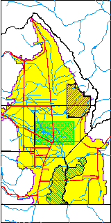
| USGS County | Alamosa County |
| USGS Map Name | COUNTY ROAD MAPS |
| USGS Map Scale | 125000 |
| Elevation and Depth Data |
|---|
| Ground Elevation (ft NAVD88) | 7522.19000000000 |
| Elevation Data Source | USGS GWSI database |
| USGS Ground Elevation (ft NGVD29) | 7518.40 |
| 1/3-Arc Second NED Ground Elevation (ft NAVD88) | 7547.22 |
| 1-Arc Second NED Ground Elevation (ft NAVD88) | 7546.96 |
| SRTM Ground Elevation (ft NAVD88) | 7555.53 |
| Total Depth (ft) | 315.00 |
| USGS Well Depth (ft) | 315.00 |
| Model Layer | 2 |
| Model Layer Source | Well Depth |
| Depth of Bottom of Layer 1 | 29 |
| Depth of Bottom of Layer 2 | 497 |
| Depth of Bottom of Layer 3 | 879 |
| Depth of Bottom of Layer 4 | 2537 |
| Additional Well Information | Production, Logs, Construction |
| Aquifer Information |
|---|
| Aquifer Type | Confined |
| Aquifer Type Source | TD Elevation/Model Layer |
| USGS Hydrologic Unit | San Luis |
| USGS Data Available | Discharge (GW.DISC) |
| Water-level Database Information |
|---|
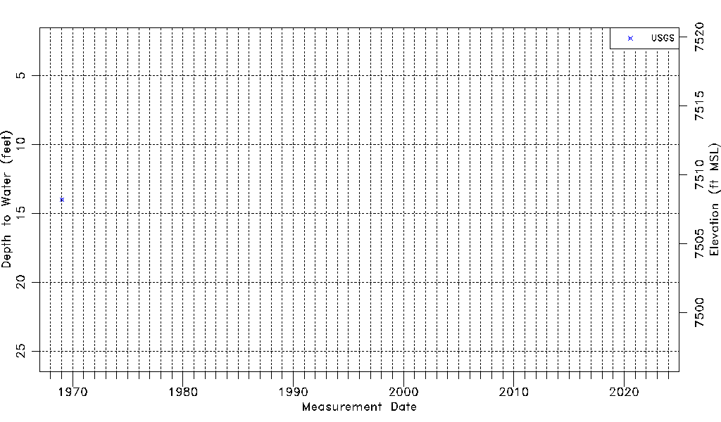
| Water-level Count | 1 |
| Water-level Date Range | 01/21/1969 thru 01/21/1969 |
| Monitored within the last 18 months | No, most recently on 01/21/1969 |
| Depth-to-Water Range (ft) | 14.00 to 14.00 |
| Water Table Elevation Range (ft NAVD88) | 7508.19 to 7508.19 |
| Water-Level-Source:Number-of-Measurements | USGS:1 |