| Well Information Table |
|---|
| Common Well ID | NA03800711CBD |
| USGS Well ID | 373245106105501 |
| USGS Station Name | NA03800711CBD |
| USGS Construction Date | 01/01/1957 |
| USGS Site Type | Well |
| USGS Site Use Information | Withdrawal of Water |
| USGS Groundwater Use Information | Irrigation |
| Data Source(s) | USGS |
| Location Data |
|---|
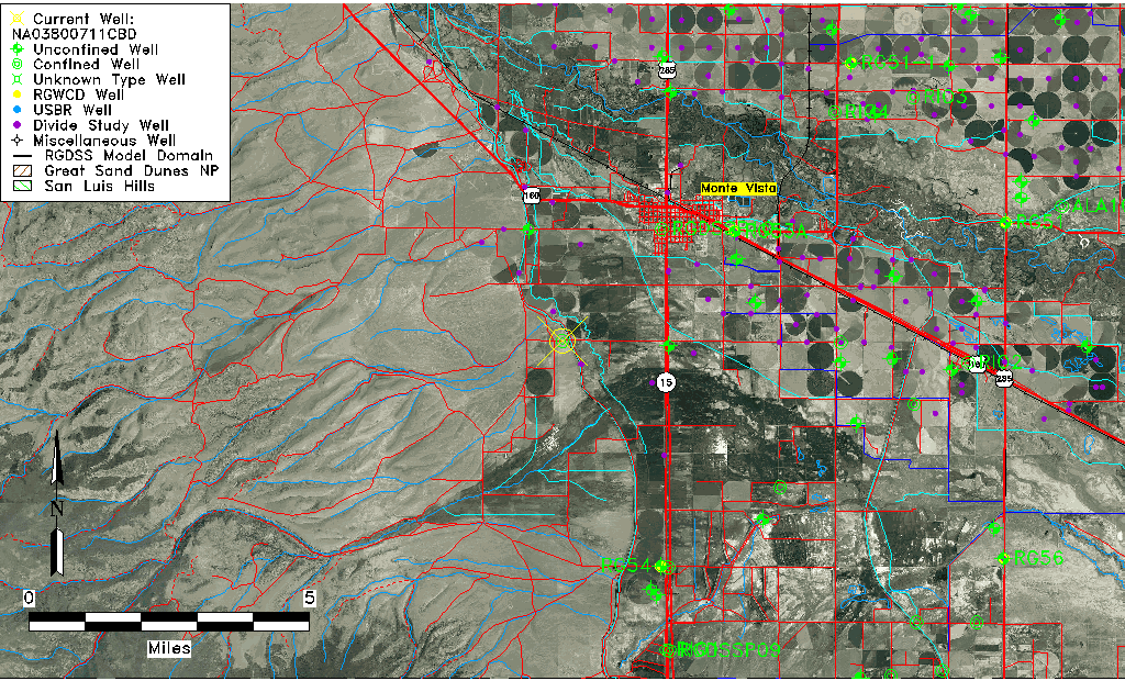
| TRS | NA03800711CBD |
| USGS TRS 1 | NA03800711CBD |
| USGS TRS | SENWSWS011T0038NR0007EN |
| Longitude/Latitude (NAD83) | -106.18252990 , 37.54583680 |
| Longitude/Latitude Data Source | GWSI decimal LAT/LONG field |
| USGS Longitude/Latitude (NAD83) | -106.1825299 , 37.54583680 |
| Easting, Northing RGDSS-NAD83 (US ft) | 52632.51 , 200601.30 |
| USGS Topography | Valley flat |
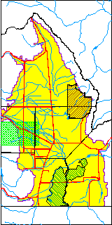
| USGS County | Rio Grande County |
| Elevation and Depth Data |
|---|
| Ground Elevation (ft NAVD88) | 7710.50000000000 |
| Elevation Data Source | USGS GWSI database |
| USGS Ground Elevation (ft NGVD29) | 7706.00 |
| 1/3-Arc Second NED Ground Elevation (ft NAVD88) | 7710.48 |
| 1-Arc Second NED Ground Elevation (ft NAVD88) | 7710.68 |
| SRTM Ground Elevation (ft NAVD88) | 7723.06 |
| Total Depth (ft) | 200.00 |
| USGS Well Depth (ft) | 200.00 |
| Model Layer | 2 |
| Model Layer Source | Well Depth |
| Depth of Bottom of Layer 1 | 110 |
| Depth of Bottom of Layer 2 | 226 |
| Additional Well Information | Geohydrology, Construction |
| Aquifer Information |
|---|
| Aquifer Type | Confined |
| Aquifer Type Source | TD Elevation/Model Layer |
| USGS Primary Aquifer | Cenozoic Erathem |
| USGS Hydrologic Unit | Alamosa-Trinchera |
| USGS Data Available | Water-level (GW.LEV) |
| Water-level Database Information |
|---|
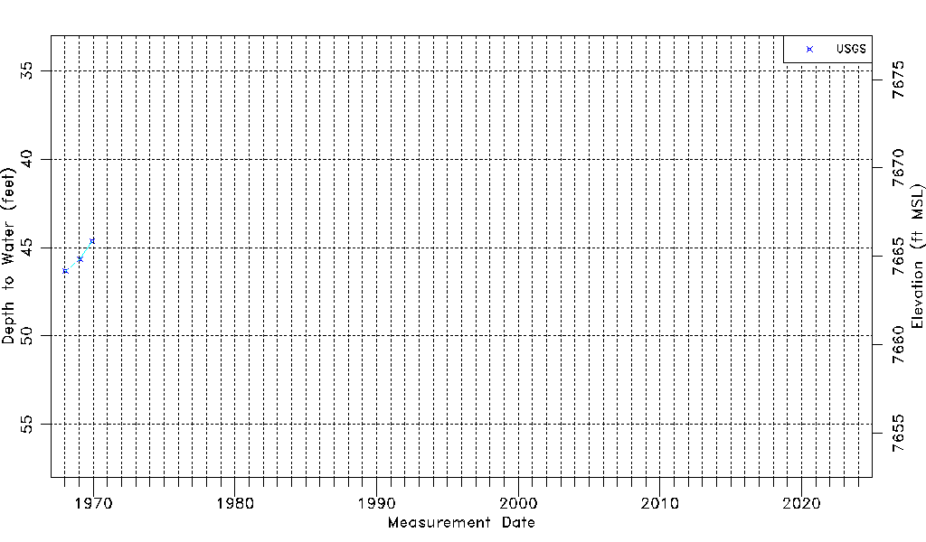
| Water-level Count | 3 |
| Water-level Date Range | 01/15/1968 thru 12/01/1969 |
| Monitored within the last 18 months | No, most recently on 12/01/1969 |
| Depth-to-Water Range (ft) | 44.65 to 46.34 |
| Water Table Elevation Range (ft NAVD88) | 7664.16 to 7665.85 |
| Water-Level-Source:Number-of-Measurements | USGS:3 |