| Well Information Table |
|---|
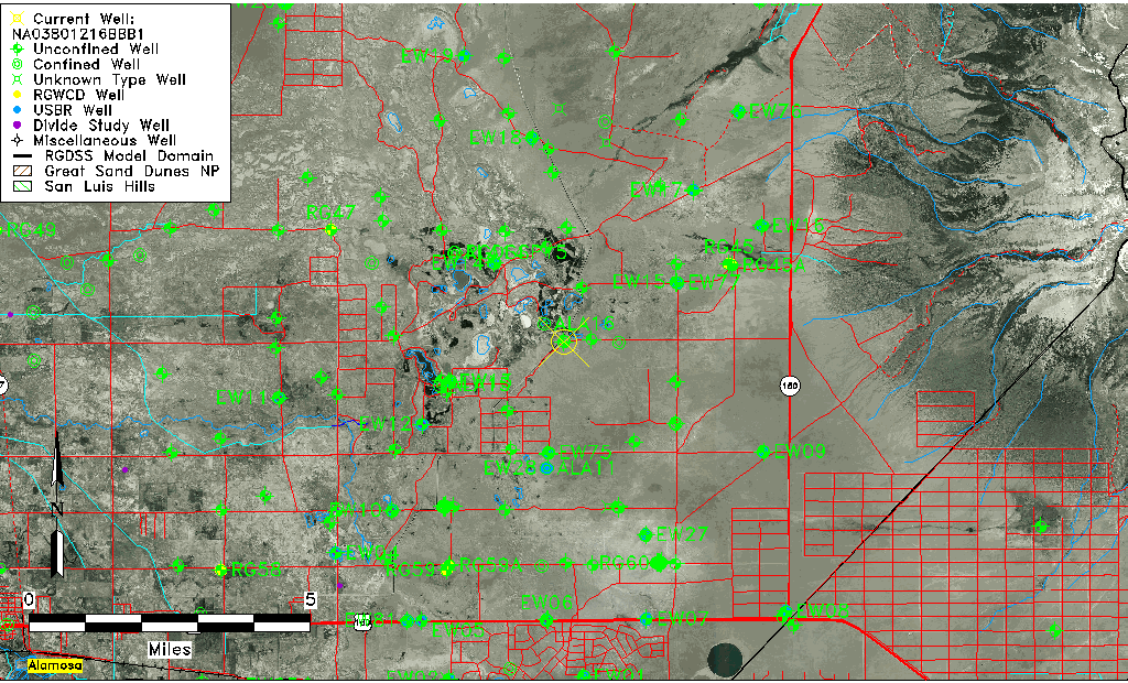
| Common Well ID | NA03801216BBB1 |
| USGS Well ID | 373248105402701 |
| USGS Station Name | NA03801216BBB1 |
| USGS Construction Date | 11/07/1977 |
| USGS Site Type | Well |
| USGS Site Use Information | Observation |
| USGS Groundwater Use Information | Unknown |
| Data Source(s) | USGS |
| Location Data |
|---|
| TRS | NA03801216BBB1 |
| USGS TRS 1 | NA03801216BBB1 |
| Longitude/Latitude (NAD83) | -105.67473880 , 37.54667090 |
| Longitude/Latitude Data Source | GWSI decimal LAT/LONG field |
| USGS Longitude/Latitude (NAD83) | -105.6747388 , 37.54667090 |
| Easting, Northing RGDSS-NAD83 (US ft) | 199810.15 , 200499.38 |
| USGS Topography | Valley flat |
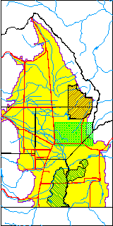
| USGS County | Alamosa County |
| USGS Map Name | DRY LAKES |
| USGS Map Scale | 24000 |
| Elevation and Depth Data |
|---|
| Ground Elevation (ft NAVD88) | 7532.33000000000 |
| Elevation Data Source | USGS GWSI database |
| USGS Ground Elevation (ft NGVD29) | 7528.20 |
| 1/3-Arc Second NED Ground Elevation (ft NAVD88) | 7531.36 |
| 1-Arc Second NED Ground Elevation (ft NAVD88) | 7533.07 |
| SRTM Ground Elevation (ft NAVD88) | 7532.66 |
| Total Depth (ft) | 108.00 |
| USGS Hole Depth (ft) | 109.00 |
| USGS Well Depth (ft) | 108.00 |
| Model Layer | 2 |
| Model Layer Source | Well Depth |
| Depth of Bottom of Layer 1 | 35 |
| Depth of Bottom of Layer 2 | 301 |
| Depth of Bottom of Layer 3 | 876 |
| Depth of Bottom of Layer 4 | 2524 |
| Additional Well Information | Construction |
| Aquifer Information |
|---|
| Aquifer Type | Confined |
| Aquifer Type Source | TD Elevation/Model Layer |
| USGS Hydrologic Unit | San Luis |
| USGS Data Available | Water-level (GW.LEV) |
| Water-level Database Information |
|---|
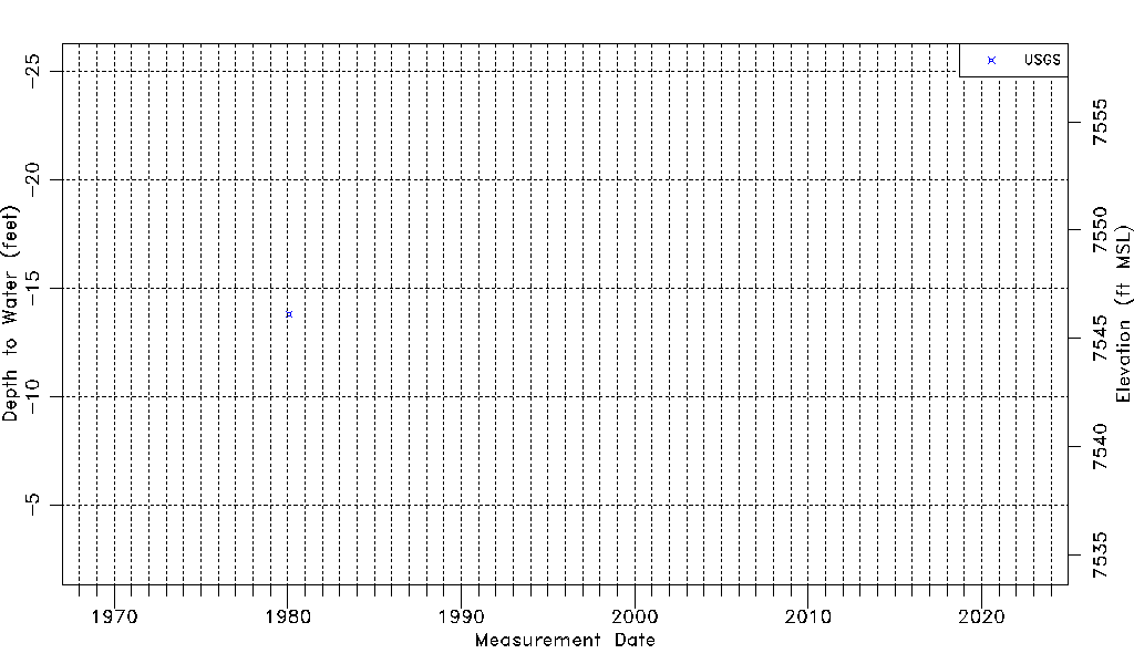
| Water-level Count | 1 |
| Water-level Date Range | 01/30/1980 thru 01/30/1980 |
| Monitored within the last 18 months | No, most recently on 01/30/1980 |
| Depth-to-Water Range (ft) | -13.80 to -13.80 |
| Water Table Elevation Range (ft NAVD88) | 7546.13 to 7546.13 |
| Water-Level-Source:Number-of-Measurements | USGS:1 |