| Well Information Table |
|---|
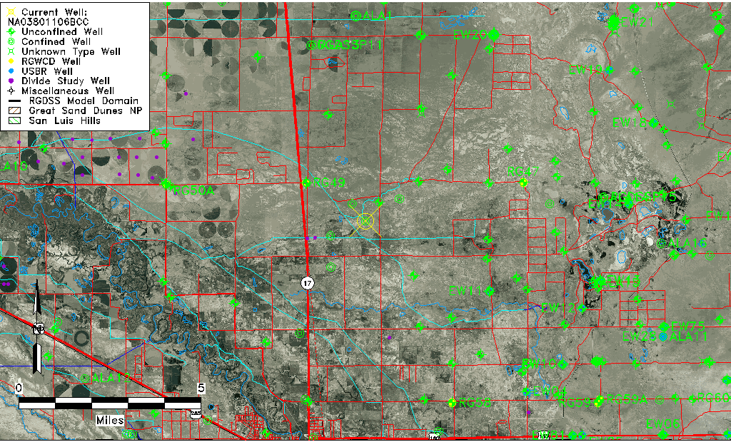
| Common Well ID | NA03801106BCC |
| USGS Well ID | 373336105494201 |
| USGS Station Name | NA03801106BCC |
| USGS Construction Date | 01/01/1955 |
| USGS Site Type | Well |
| USGS Site Use Information | Unused |
| USGS Groundwater Use Information | Unused |
| Data Source(s) | USGS |
| Location Data |
|---|
| TRS | NA03801106BCC |
| USGS TRS 1 | NA03801106BCC |
| USGS TRS | SWSWNWS006T0038NR0011EN |
| Longitude/Latitude (NAD83) | -105.82890940 , 37.56000319 |
| Longitude/Latitude Data Source | GWSI decimal LAT/LONG field |
| USGS Longitude/Latitude (NAD83) | -105.8289094 , 37.56000319 |
| Easting, Northing RGDSS-NAD83 (US ft) | 155135.40 , 205391.57 |
| USGS County | Alamosa County |
| Elevation and Depth Data |
|---|
| Ground Elevation (ft NAVD88) | 7540.81000000000 |
| Elevation Data Source | USGS GWSI database |
| USGS Ground Elevation (ft NGVD29) | 7537.00 |
| 1/3-Arc Second NED Ground Elevation (ft NAVD88) | 7543.92 |
| 1-Arc Second NED Ground Elevation (ft NAVD88) | 7542.79 |
| SRTM Ground Elevation (ft NAVD88) | 7549.42 |
| Total Depth (ft) | 122.00 |
| USGS Well Depth (ft) | 122.00 |
| Model Layer | 2 |
| Model Layer Source | Well Depth |
| Depth of Bottom of Layer 1 | 45 |
| Depth of Bottom of Layer 2 | 536 |
| Depth of Bottom of Layer 3 | 941 |
| Depth of Bottom of Layer 4 | 2579 |
| Additional Well Information | Geohydrology, Construction |
| Aquifer Information |
|---|
| Aquifer Type | Confined |
| Aquifer Type Source | TD Elevation/Model Layer |
| USGS Primary Aquifer | Cenozoic Erathem |
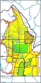
| USGS Hydrologic Unit | San Luis |
| USGS Data Available | Water-level (GW.LEV) |
| Water-level Database Information |
|---|
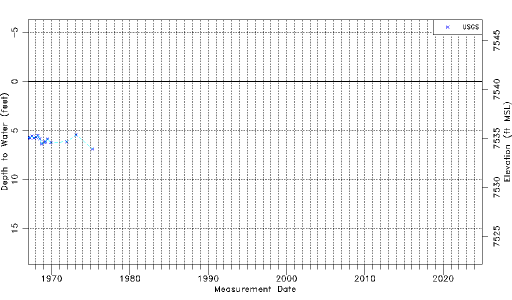
| Water-level Count | 15 |
| Water-level Date Range | 01/03/1967 thru 04/01/1975 |
| Monitored within the last 18 months | No, most recently on 04/01/1975 |
| Depth-to-Water Range (ft) | 5.44 to 6.89 |
| Water Table Elevation Range (ft NAVD88) | 7533.92 to 7535.37 |
| Water-Level-Source:Number-of-Measurements | USGS:15 |