| Well Information Table |
|---|
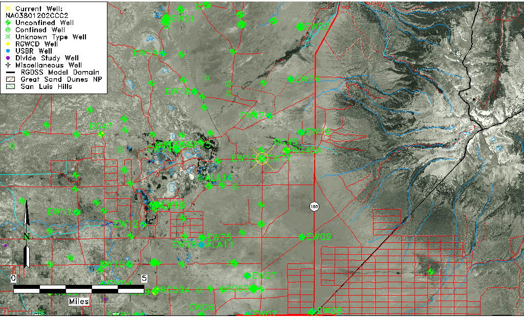
| Common Well ID | NA03801202CCC2 |
| USGS Well ID | 373343105381502 |
| USGS Station Name | NA03801202CCC2 |
| USGS Construction Date | 11/14/1977 |
| USGS Site Type | Well |
| USGS Site Use Information | Observation |
| USGS Groundwater Use Information | Unknown |
| Data Source(s) | USGS |
| Location Data |
|---|
| TRS | NA03801202CCC2 |
| USGS TRS 1 | NA03801202CCC2 |
| Longitude/Latitude (NAD83) | -105.63807110 , 37.56194858 |
| Longitude/Latitude Data Source | GWSI decimal LAT/LONG field |
| USGS Longitude/Latitude (NAD83) | -105.6380711 , 37.56194858 |
| Easting, Northing RGDSS-NAD83 (US ft) | 210435.49 , 206061.98 |
| USGS Topography | Valley flat |
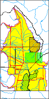
| USGS County | Alamosa County |
| USGS Map Name | DRY LAKES |
| USGS Map Scale | 24000 |
| Elevation and Depth Data |
|---|
| Ground Elevation (ft NAVD88) | 7568.28000000000 |
| Elevation Data Source | USGS GWSI database |
| USGS Ground Elevation (ft NGVD29) | 7564.10 |
| 1/3-Arc Second NED Ground Elevation (ft NAVD88) | 7568.11 |
| 1-Arc Second NED Ground Elevation (ft NAVD88) | 7567.84 |
| SRTM Ground Elevation (ft NAVD88) | 7572.08 |
| Total Depth (ft) | 8.70 |
| USGS Hole Depth (ft) | 8.70 |
| USGS Well Depth (ft) | 8.70 |
| Model Layer | 1 |
| Model Layer Source | Well Depth |
| Depth of Bottom of Layer 1 | 95 |
| Depth of Bottom of Layer 2 | 445 |
| Depth of Bottom of Layer 3 | 873 |
| Depth of Bottom of Layer 4 | 2301 |
| Additional Well Information | Construction |
| Aquifer Information |
|---|
| Aquifer Type | Unconfined |
| Aquifer Type Source | TD Elevation/Model Layer |
| USGS Hydrologic Unit | San Luis |
| USGS Data Available | Water-level (GW.LEV) |
| Water-level Database Information |
|---|
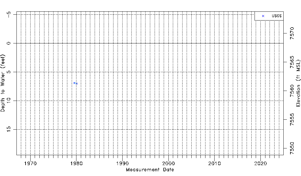
| Water-level Count | 2 |
| Water-level Date Range | 07/25/1979 thru 01/30/1980 |
| Monitored within the last 18 months | No, most recently on 01/30/1980 |
| Depth-to-Water Range (ft) | 6.91 to 7.01 |
| Water Table Elevation Range (ft NAVD88) | 7561.27 to 7561.37 |
| Water-Level-Source:Number-of-Measurements | USGSaguache Creek:2 |