| Well Information Table |
|---|
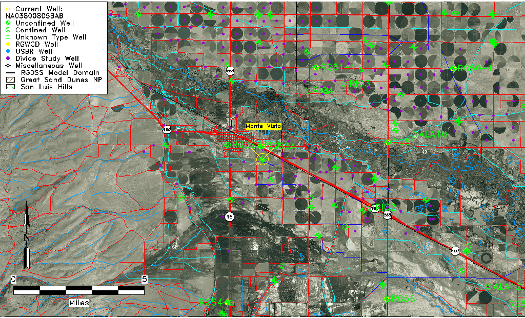
| Common Well ID | NA03800805BAB |
| USGS Well ID | 373402106073201 |
| USGS Station Name | NA03800805BAB |
| USGS Site Type | Well |
| USGS Site Use Information | Withdrawal of Water |
| USGS Groundwater Use Information | Irrigation |
| Data Source(s) | USGS |
| Location Data |
|---|
| TRS | NA03800805BAB |
| USGS TRS 1 | NA03800805BAB |
| USGS TRS | NWNENWS005T0038NR0008EN |
| Longitude/Latitude (NAD83) | -106.12613920 , 37.56722517 |
| Longitude/Latitude Data Source | GWSI decimal LAT/LONG field |
| USGS Longitude/Latitude (NAD83) | -106.1261392 , 37.56722517 |
| Easting, Northing RGDSS-NAD83 (US ft) | 69015.13 , 208302.98 |
| USGS Topography | Valley flat |
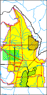
| USGS County | Rio Grande County |
| Elevation and Depth Data |
|---|
| Ground Elevation (ft NAVD88) | 7651.44000000000 |
| Elevation Data Source | USGS GWSI database |
| USGS Ground Elevation (ft NGVD29) | 7647.00 |
| 1/3-Arc Second NED Ground Elevation (ft NAVD88) | 7650.79 |
| 1-Arc Second NED Ground Elevation (ft NAVD88) | 7650.79 |
| SRTM Ground Elevation (ft NAVD88) | 7657.48 |
| Total Depth (ft) | 50.00 |
| USGS Well Depth (ft) | 50.00 |
| Model Layer | 1 |
| Model Layer Source | Well Depth |
| Depth of Bottom of Layer 1 | 68 |
| Depth of Bottom of Layer 2 | 173 |
| Depth of Bottom of Layer 3 | 647 |
| Depth of Bottom of Layer 4 | 1791 |
| Additional Well Information | Geohydrology, Construction |
| Aquifer Information |
|---|
| Aquifer Type | Unconfined |
| Aquifer Type Source | TD Elevation/Model Layer |
| USGS Primary Aquifer | Cenozoic Erathem |
| USGS Hydrologic Unit | Alamosa-Trinchera |
| USGS Data Available | Water-level (GW.LEV) |
| Water-level Database Information |
|---|
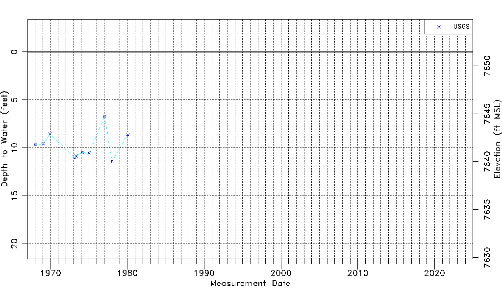
| Water-level Count | 10 |
| Water-level Date Range | 01/15/1968 thru 01/16/1980 |
| Monitored within the last 18 months | No, most recently on 01/16/1980 |
| Depth-to-Water Range (ft) | 6.75 to 11.41 |
| Water Table Elevation Range (ft NAVD88) | 7640.03 to 7644.69 |
| Water-Level-Source:Number-of-Measurements | USGSaguache Creek:10 |