| Well Information Table |
|---|
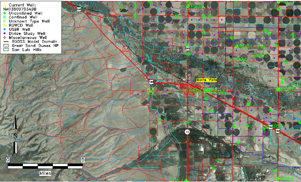
| Common Well ID | NA03800703ABB |
| USGS Well ID | 373405106112501 |
| USGS Station Name | NA03800703ABB |
| USGS Construction Date | 01/01/1951 |
| USGS Site Type | Well |
| USGS Site Use Information | Withdrawal of Water |
| USGS Groundwater Use Information | Irrigation |
| Data Source(s) | USGS |
| Location Data |
|---|
| TRS | NA03800703ABB |
| USGS TRS 1 | NA03800703ABB |
| USGS TRS | NWNWNES003T0038NR0007EN |
| Longitude/Latitude (NAD83) | -106.19366900 , 37.57450327 |
| Longitude/Latitude Data Source | GWSI decimal LAT/LONG field |
| USGS Longitude/Latitude (NAD83) | -106.1936690 , 37.57450327 |
| Easting, Northing RGDSS-NAD83 (US ft) | 49462.05 , 211054.63 |
| USGS Topography | Valley flat |
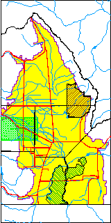
| USGS County | Rio Grande County |
| Elevation and Depth Data |
|---|
| Ground Elevation (ft NAVD88) | 7713.58000000000 |
| Elevation Data Source | USGS GWSI database |
| USGS Ground Elevation (ft NGVD29) | 7709.00 |
| 1/3-Arc Second NED Ground Elevation (ft NAVD88) | 7712.07 |
| 1-Arc Second NED Ground Elevation (ft NAVD88) | 7711.64 |
| SRTM Ground Elevation (ft NAVD88) | 7717.78 |
| Total Depth (ft) | 100.00 |
| USGS Well Depth (ft) | 100.00 |
| Model Layer | 1 |
| Model Layer Source | Well Depth |
| Depth of Bottom of Layer 1 | 102 |
| Depth of Bottom of Layer 2 | 231 |
| Additional Well Information | Geohydrology, Construction |
| Aquifer Information |
|---|
| Aquifer Type | Unconfined |
| Aquifer Type Source | TD Elevation/Model Layer |
| USGS Primary Aquifer | Cenozoic Erathem |
| USGS Aquifer Type | Unconfined Single Aquifer |
| USGS Hydrologic Unit | Alamosa-Trinchera |
| USGS Data Available | Water-level (GW.LEV) |
| Water-level Database Information |
|---|
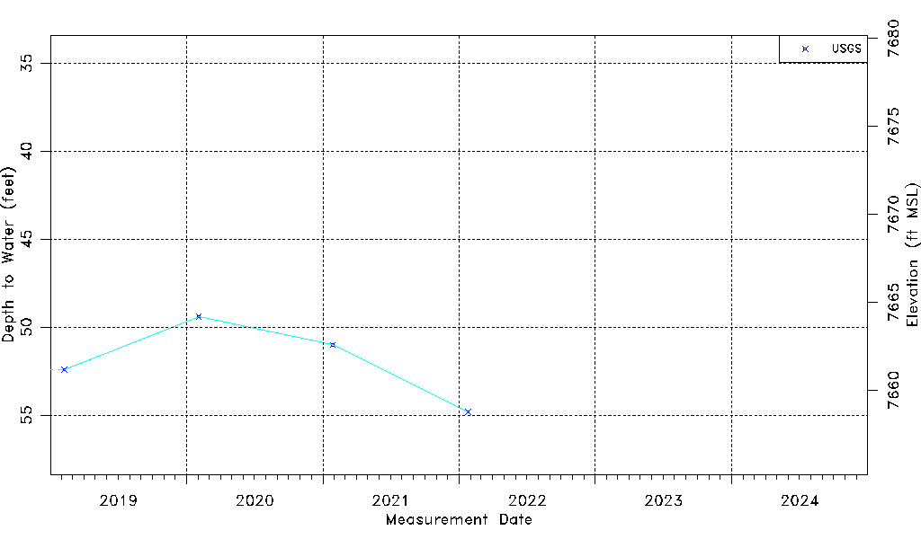
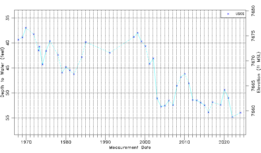
| Water-level Count | 42 |
| Water-level Date Range | 01/17/1968 thru 01/25/2022 |
| Monitored within the last 18 months | No, most recently on 01/25/2022 |
| Depth-to-Water Range (ft) | 36.97 to 54.81 |
| Water Table Elevation Range (ft NAVD88) | 7658.77 to 7676.61 |
| Water-Level-Source:Number-of-Measurements | USGSaguache Creek:42 |