| Well Information Table |
|---|
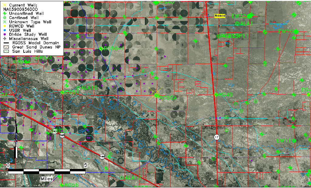
| Common Well ID | NA03900936DDD |
| USGS Well ID | 373409105555701 |
| USGS Station Name | NA03900936DDD |
| USGS Site Type | Well |
| USGS Site Use Information | Observation |
| USGS Groundwater Use Information | Unused |
| Data Source(s) | USGS |
| Location Data |
|---|
| TRS | NA03900936DDD |
| USGS TRS 1 | NA03900936DDD |
| USGS TRS | SESESES036T0039NR0009EN |
| Longitude/Latitude (NAD83) | -105.92974500 , 37.57555798 |
| Longitude/Latitude Data Source | GWSI decimal LAT/LONG field |
| USGS Longitude/Latitude (NAD83) | -105.9297450 , 37.57555798 |
| Easting, Northing RGDSS-NAD83 (US ft) | 125930.78 , 211119.05 |
| USGS Topography | Valley flat |
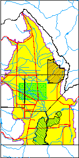
| USGS County | Alamosa County |
| USGS Map Name | MT PLEASANT SCH |
| USGS Map Scale | 24000 |
| Elevation and Depth Data |
|---|
| Ground Elevation (ft NAVD88) | 7573.93000000000 |
| Elevation Data Source | USGS GWSI database |
| USGS Ground Elevation (ft NGVD29) | 7570.00 |
| 1/3-Arc Second NED Ground Elevation (ft NAVD88) | 7571.83 |
| 1-Arc Second NED Ground Elevation (ft NAVD88) | 7570.89 |
| SRTM Ground Elevation (ft NAVD88) | 7578.68 |
| Depth of Bottom of Layer 1 | 84 |
| Depth of Bottom of Layer 2 | 357 |
| Depth of Bottom of Layer 3 | 824 |
| Depth of Bottom of Layer 4 | 1959 |
| Additional Well Information | Geohydrology, Construction |
| Aquifer Information |
|---|
| Aquifer Type | Unknown |
| Aquifer Type Source | None |
| USGS Primary Aquifer | Cenozoic Erathem |
| USGS Hydrologic Unit | San Luis |
| USGS Data Available | Water-level (GW.LEV) |
| Water-level Database Information |
|---|
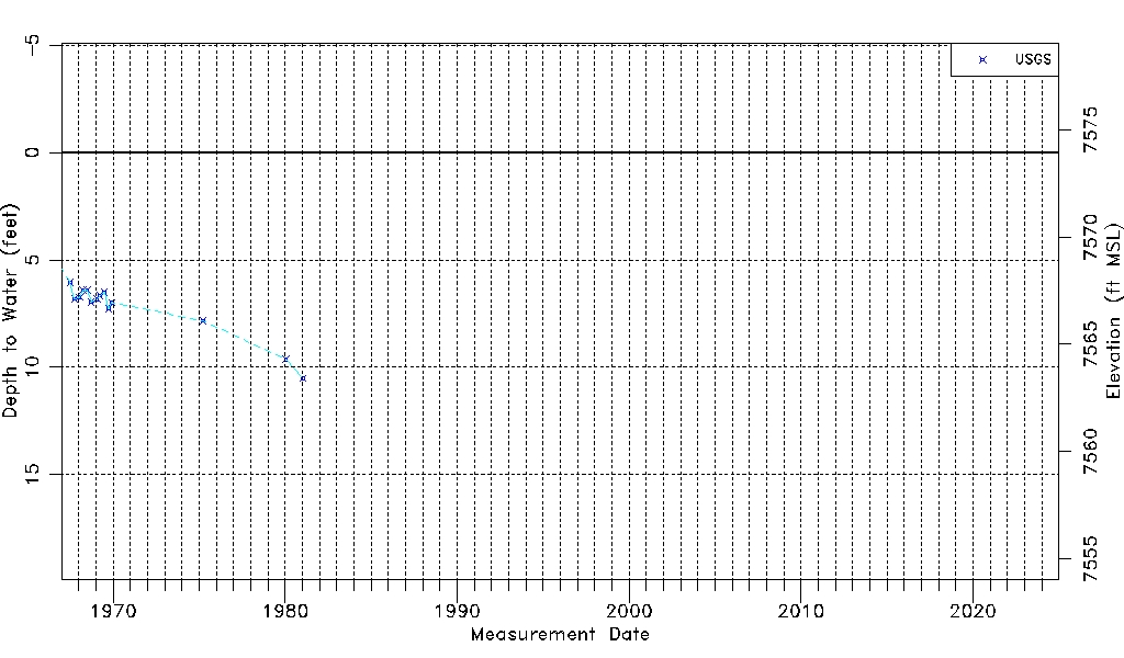
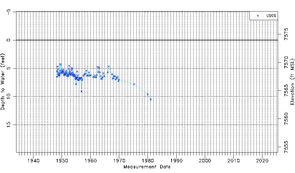
| Water-level Count | 148 |
| Water-level Date Range | 04/19/1948 thru 01/13/1981 |
| Monitored within the last 18 months | No, most recently on 01/13/1981 |
| Depth-to-Water Range (ft) | 4.26 to 10.51 |
| Water Table Elevation Range (ft NAVD88) | 7563.42 to 7569.67 |
| Water-Level-Source:Number-of-Measurements | USGSaguache Creek:148 |