| Well Information Table |
|---|
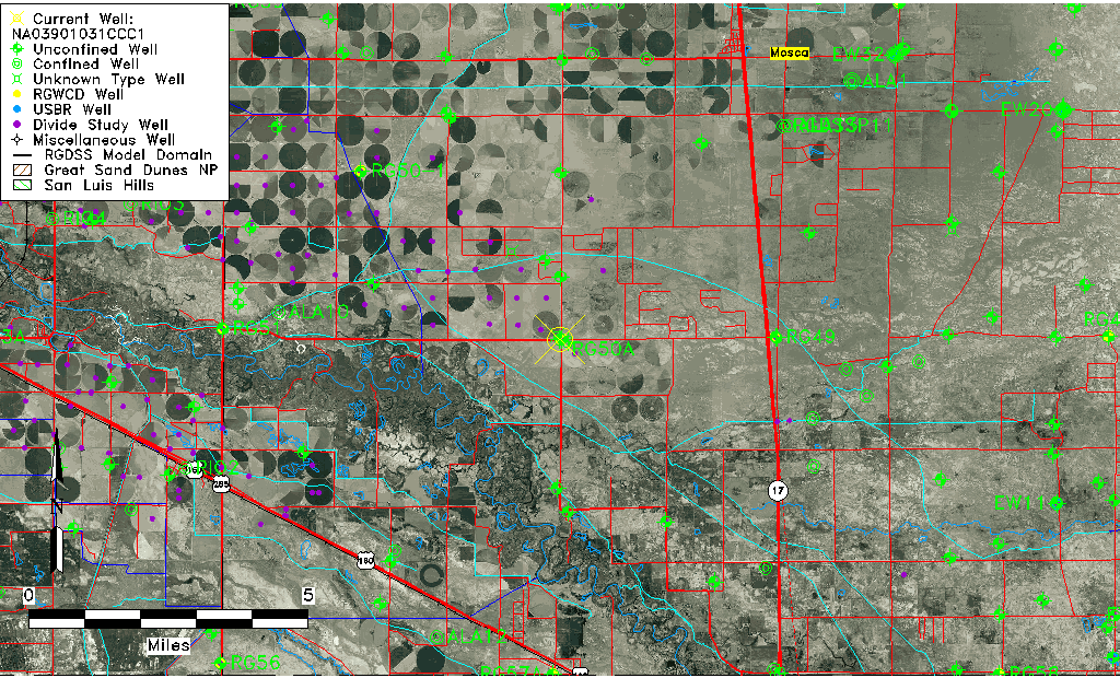
| Common Well ID | NA03901031CCC1 |
| USGS Well ID | 373428105554202 |
| USGS Station Name | NA03901031CCC1 |
| USGS Construction Date | 01/12/1989 |
| USGS Site Type | Well |
| USGS Site Use Information | Observation |
| USGS Groundwater Use Information | Unused |
| Data Source(s) | USGS |
| Location Data |
|---|
| TRS | NA03901031CCC1 |
| USGS TRS 1 | NA03901031CCC1 |
| USGS TRS | SWSWSWS31 T 39 R10 N |
| Longitude/Latitude (NAD83) | -105.92891160 , 37.57444689 |
| Longitude/Latitude Data Source | GWSI decimal LAT/LONG field |
| USGS Longitude/Latitude (NAD83) | -105.9289116 , 37.57444689 |
| Easting, Northing RGDSS-NAD83 (US ft) | 126171.12 , 210713.93 |
| USGS Topography | Valley flat |
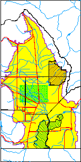
| USGS County | Alamosa County |
| USGS Map Name | ALAMOSA |
| USGS Map Scale | 24000 |
| Elevation and Depth Data |
|---|
| Ground Elevation (ft NAVD88) | 7571.93000000000 |
| Elevation Data Source | USGS GWSI database |
| USGS Ground Elevation (ft NGVD29) | 7568.00 |
| 1/3-Arc Second NED Ground Elevation (ft NAVD88) | 7571.45 |
| 1-Arc Second NED Ground Elevation (ft NAVD88) | 7572.07 |
| SRTM Ground Elevation (ft NAVD88) | 7572.66 |
| Total Depth (ft) | 50.00 |
| USGS Hole Depth (ft) | 50.00 |
| USGS Well Depth (ft) | 50.00 |
| Model Layer | 1 |
| Model Layer Source | Well Depth |
| Depth of Bottom of Layer 1 | 82 |
| Depth of Bottom of Layer 2 | 359 |
| Depth of Bottom of Layer 3 | 824 |
| Depth of Bottom of Layer 4 | 1965 |
| Additional Well Information | Production, Logs, Geohydrology, Construction |
| Aquifer Information |
|---|
| Aquifer Type | Unconfined |
| Aquifer Type Source | TD Elevation/Model Layer |
| USGS Primary Aquifer | Valley-fill Deposits |
| USGS Aquifer Type | Unconfined Single Aquifer |
| USGS Hydrologic Unit | San Luis |
| USGS Data Available | Geohydrologic |
| Water-level Database Information |
|---|
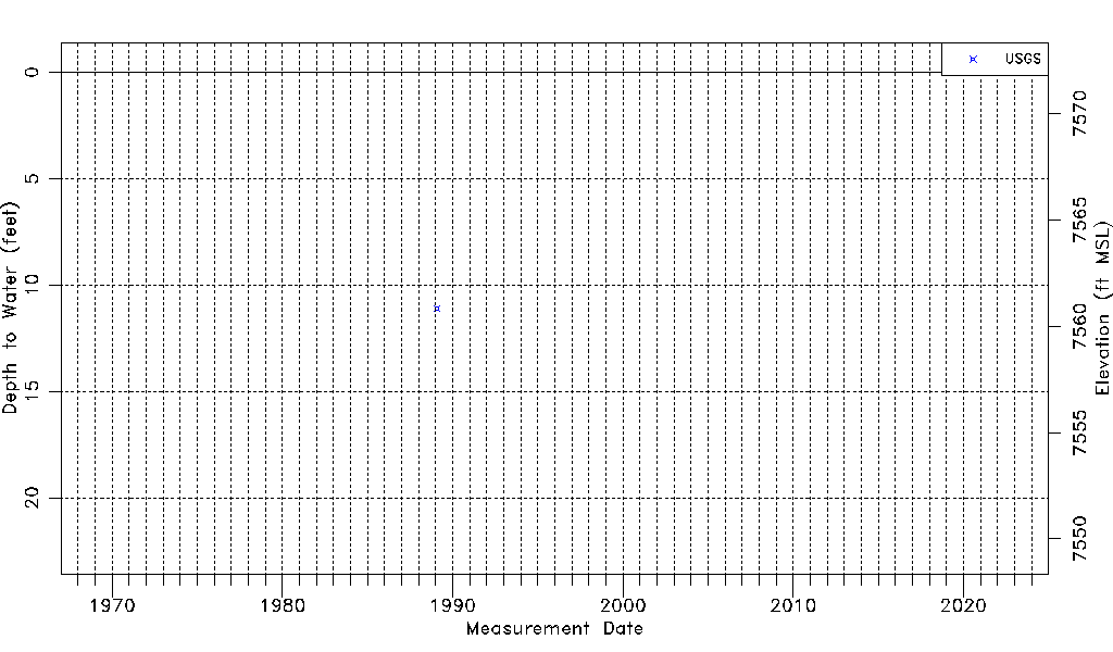
| Water-level Count | 1 |
| Water-level Date Range | 02/03/1989 thru 02/03/1989 |
| Monitored within the last 18 months | No, most recently on 02/03/1989 |
| Depth-to-Water Range (ft) | 11.09 to 11.09 |
| Water Table Elevation Range (ft NAVD88) | 7560.84 to 7560.84 |
| Water-Level-Source:Number-of-Measurements | USGSaguache Creek:1 |