| Well Information Table |
|---|
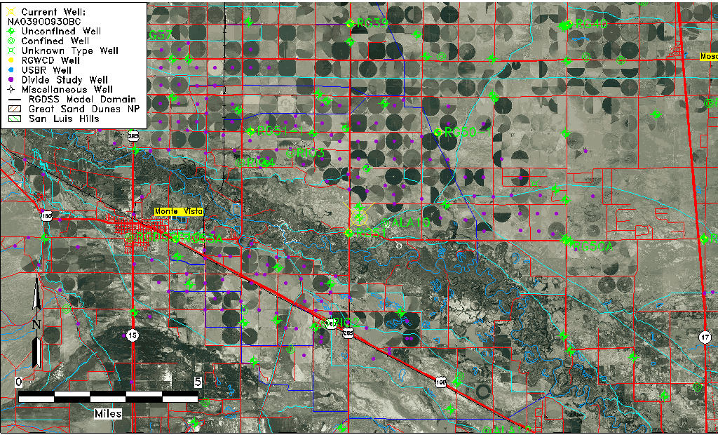
| Common Well ID | NA03900930BC |
| USGS Well ID | 373500106020001 |
| USGS Station Name | NA03900930BC |
| USGS Site Type | Well |
| USGS Site Use Information | Withdrawal of Water |
| USGS Groundwater Use Information | Irrigation |
| Data Source(s) | USGS |
| Location Data |
|---|
| TRS | NA03900930BC |
| USGS TRS 1 | NA03900930BC |
| USGS TRS | SWNWS030T0039NR0009EN |
| Longitude/Latitude (NAD83) | -106.03391420 , 37.58333550 |
| Longitude/Latitude Data Source | GWSI decimal LAT/LONG field |
| USGS Longitude/Latitude (NAD83) | -106.0339142 , 37.58333550 |
| Easting, Northing RGDSS-NAD83 (US ft) | 95761.26 , 214050.70 |
| USGS Topography | Flat Surface |
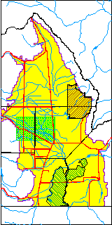
| USGS County | Alamosa County |
| Elevation and Depth Data |
|---|
| Ground Elevation (ft NAVD88) | 7609.24000000000 |
| Elevation Data Source | USGS GWSI database |
| USGS Ground Elevation (ft NGVD29) | 7605.00 |
| 1/3-Arc Second NED Ground Elevation (ft NAVD88) | 7601.26 |
| 1-Arc Second NED Ground Elevation (ft NAVD88) | 7601.48 |
| SRTM Ground Elevation (ft NAVD88) | 7608.27 |
| Total Depth (ft) | 32.00 |
| USGS Well Depth (ft) | 32.00 |
| Model Layer | 1 |
| Model Layer Source | Well Depth |
| Depth of Bottom of Layer 1 | 75 |
| Depth of Bottom of Layer 2 | 207 |
| Depth of Bottom of Layer 3 | 658 |
| Depth of Bottom of Layer 4 | 2140 |
| Additional Well Information | Geohydrology, Construction |
| Aquifer Information |
|---|
| Aquifer Type | Unconfined |
| Aquifer Type Source | TD Elevation/Model Layer |
| USGS Primary Aquifer | Cenozoic Erathem |
| USGS Hydrologic Unit | Alamosa-Trinchera |
| USGS Data Available | Water-level (GW.LEV) |
| Water-level Database Information |
|---|
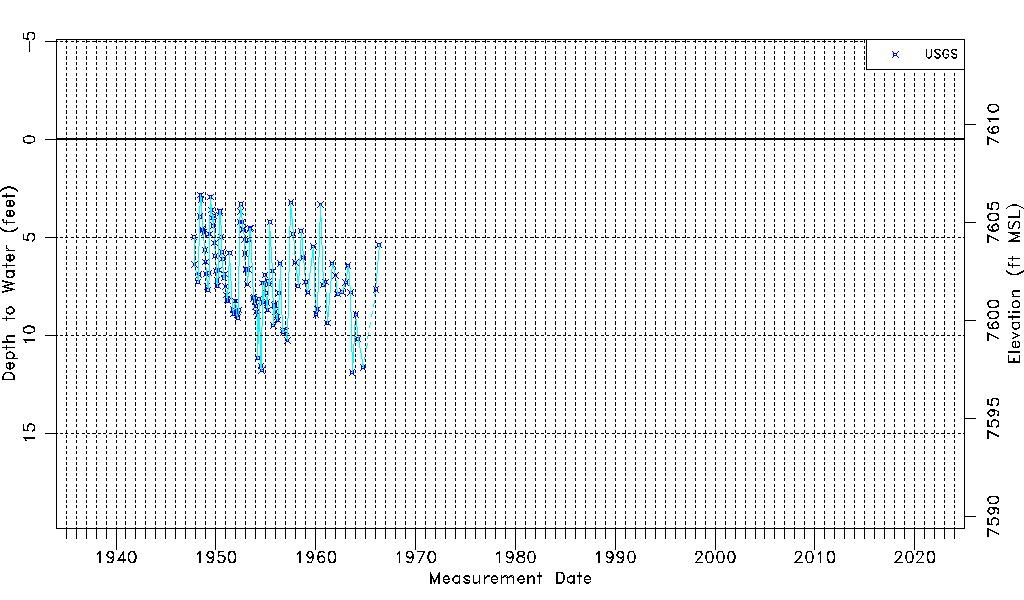
| Water-level Count | 122 |
| Water-level Date Range | 11/01/1947 thru 05/11/1966 |
| Monitored within the last 18 months | No, most recently on 05/11/1966 |
| Depth-to-Water Range (ft) | 2.84 to 11.91 |
| Water Table Elevation Range (ft NAVD88) | 7597.33 to 7606.40 |
| Water-Level-Source:Number-of-Measurements | USGSaguache Creek:122 |