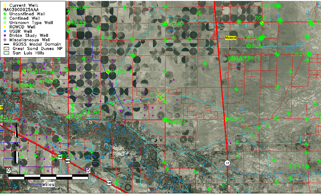
| Well Information Table |
|---|
| Common Well ID | NA03900925AAA |
| USGS Well ID | 373542105560001 |
| USGS Station Name | NA03900925AAA |
| USGS Construction Date | 01/01/1967 |
| USGS Site Type | Well |
| USGS Site Use Information | Observation |
| USGS Groundwater Use Information | Unused |
| Data Source(s) | USGS |
| Location Data |
|---|
| TRS | NA03900925AAA |
| USGS TRS 1 | NA03900925AAA |
| USGS TRS | NENENES025T0039NR0009EN |
| Longitude/Latitude (NAD83) | -105.93391170 , 37.59500210 |
| Longitude/Latitude Data Source | GWSI decimal LAT/LONG field |
| USGS Longitude/Latitude (NAD83) | -105.9339117 , 37.59500210 |
| Easting, Northing RGDSS-NAD83 (US ft) | 124743.55 , 218200.45 |
| USGS Topography | Valley flat |
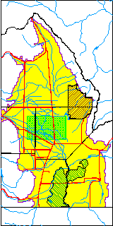
| USGS County | Alamosa County |
| Elevation and Depth Data |
|---|
| Ground Elevation (ft NAVD88) | 7572.93000000000 |
| Elevation Data Source | USGS GWSI database |
| USGS Ground Elevation (ft NGVD29) | 7569.00 |
| 1/3-Arc Second NED Ground Elevation (ft NAVD88) | 7575.12 |
| 1-Arc Second NED Ground Elevation (ft NAVD88) | 7574.26 |
| SRTM Ground Elevation (ft NAVD88) | 7578.69 |
| Total Depth (ft) | 13.00 |
| USGS Well Depth (ft) | 13.00 |
| Model Layer | 1 |
| Model Layer Source | Well Depth |
| Depth of Bottom of Layer 1 | 84 |
| Depth of Bottom of Layer 2 | 299 |
| Depth of Bottom of Layer 3 | 804 |
| Depth of Bottom of Layer 4 | 1850 |
| Additional Well Information | Geohydrology, Construction |
| Aquifer Information |
|---|
| Aquifer Type | Unconfined |
| Aquifer Type Source | TD Elevation/Model Layer |
| USGS Primary Aquifer | Cenozoic Erathem |
| USGS Hydrologic Unit | San Luis |
| USGS Data Available | Water-level (GW.LEV) |
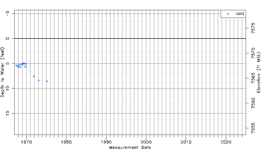
| Water-level Database Information |
|---|
| Water-level Count | 14 |
| Water-level Date Range | 07/03/1967 thru 04/01/1975 |
| Monitored within the last 18 months | No, most recently on 04/01/1975 |
| Depth-to-Water Range (ft) | 4.97 to 8.59 |
| Water Table Elevation Range (ft NAVD88) | 7564.34 to 7567.96 |
| Water-Level-Source:Number-of-Measurements | USGSaguache Creek:14 |