| Well Information Table |
|---|
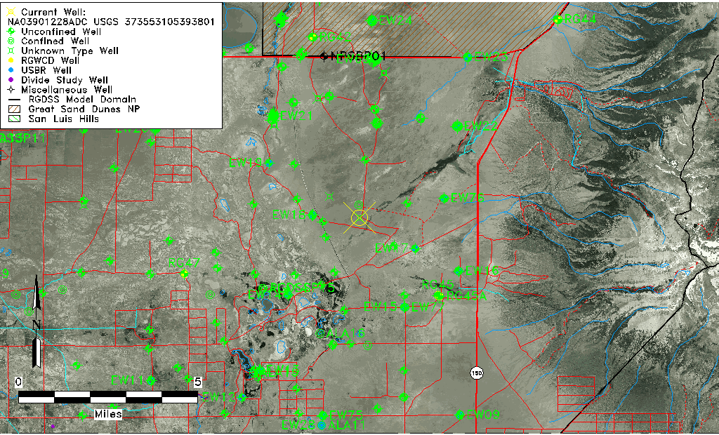
| Common Well ID | NA03901228ADC USGS 373553105393801 |
| USGS Well ID | 373553105393801 |
| USGS Station Name | NA03901228ADC USGS 373553105393801 |
| USGS Site Type | Well |
| USGS Site Use Information | Withdrawal of Water |
| USGS Groundwater Use Information | Stock |
| Data Source(s) | USGS |
| Location Data |
|---|
| TRS | NA03901228ADC USGS 373553105393801 |
| USGS TRS 1 | NA03901228ADC USGS 373553105393801 |
| USGS TRS | SWSENES028T0039NR0012EN |
| Longitude/Latitude (NAD83) | -105.66112730 , 37.59805880 |
| Longitude/Latitude Data Source | GWSI decimal LAT/LONG field |
| USGS Longitude/Latitude (NAD83) | -105.6611273 , 37.59805880 |
| Easting, Northing RGDSS-NAD83 (US ft) | 203753.49 , 219204.86 |
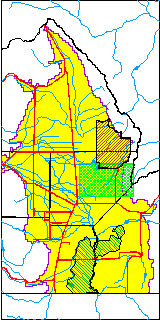
| USGS County | Alamosa County |
| USGS Map Name | DRY LAKES |
| USGS Map Scale | 24000 |
| Elevation and Depth Data |
|---|
| Ground Elevation (ft NAVD88) | 7547.15000000000 |
| Elevation Data Source | USGS GWSI database |
| USGS Ground Elevation (ft NGVD29) | 7543.00 |
| 1/3-Arc Second NED Ground Elevation (ft NAVD88) | 7545.93 |
| 1-Arc Second NED Ground Elevation (ft NAVD88) | 7548.00 |
| SRTM Ground Elevation (ft NAVD88) | 7543.03 |
| Depth of Bottom of Layer 1 | 87 |
| Depth of Bottom of Layer 2 | 434 |
| Depth of Bottom of Layer 3 | 1059 |
| Depth of Bottom of Layer 4 | 2846 |
| Additional Well Information | Geohydrology |
| Aquifer Information |
|---|
| Aquifer Type | Unknown |
| Aquifer Type Source | None |
| USGS Primary Aquifer | Quaternary System |
| USGS Hydrologic Unit | San Luis |
| USGS Data Available | Water-level (GW.LEV) |
| Water-level Database Information |
|---|
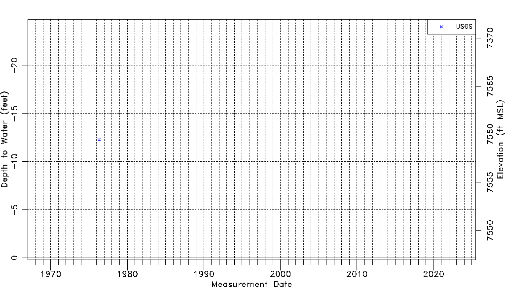
| Water-level Count | 1 |
| Water-level Date Range | 05/12/1976 thru 05/12/1976 |
| Monitored within the last 18 months | No, most recently on 05/12/1976 |
| Depth-to-Water Range (ft) | -12.30 to -12.30 |
| Water Table Elevation Range (ft NAVD88) | 7559.45 to 7559.45 |
| Water-Level-Source:Number-of-Measurements | USGSaguache Creek:1 |