| Well Information Table |
|---|
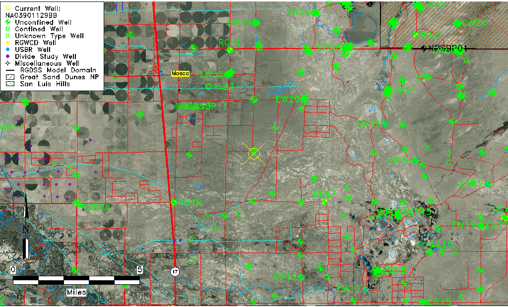
| Common Well ID | NA03901129BB |
| USGS Well ID | 373611105480201 |
| USGS Station Name | NA03901129BB |
| USGS Site Type | Well |
| USGS Site Use Information | Test |
| USGS Groundwater Use Information | Unknown |
| Data Source(s) | USGS |
| Location Data |
|---|
| TRS | NA03901129BB |
| USGS TRS 1 | NA03901129BB |
| Longitude/Latitude (NAD83) | -105.80113090 , 37.60305806 |
| Longitude/Latitude Data Source | GWSI decimal LAT/LONG field |
| USGS Longitude/Latitude (NAD83) | -105.8011309 , 37.60305806 |
| Easting, Northing RGDSS-NAD83 (US ft) | 163207.06 , 221051.56 |
| USGS Topography | Valley flat |
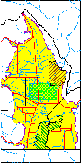
| USGS County | Alamosa County |
| USGS Map Name | HOOPER SE |
| USGS Map Scale | 24000 |
| Elevation and Depth Data |
|---|
| Ground Elevation (ft NAVD88) | 7534.69000000000 |
| Elevation Data Source | USGS GWSI database |
| USGS Ground Elevation (ft NGVD29) | 7530.82 |
| 1/3-Arc Second NED Ground Elevation (ft NAVD88) | 7535.79 |
| 1-Arc Second NED Ground Elevation (ft NAVD88) | 7535.22 |
| SRTM Ground Elevation (ft NAVD88) | 7545.46 |
| USGS Hole Depth (ft) | 63.40 |
| Depth of Bottom of Layer 1 | 53 |
| Depth of Bottom of Layer 2 | 505 |
| Depth of Bottom of Layer 3 | 1131 |
| Depth of Bottom of Layer 4 | 2437 |
| Additional Well Information | Production, Logs, Construction |
| Aquifer Information |
|---|
| Aquifer Type | Unknown |
| Aquifer Type Source | None |
| USGS Hydrologic Unit | San Luis |
| USGS Data Available | Discharge (GW.DISC) |
| Water-level Database Information |
|---|
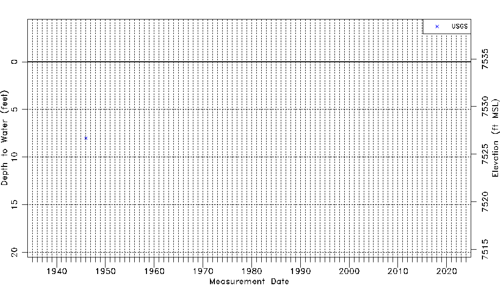
| Water-level Count | 1 |
| Water-level Date Range | 01/01/1946 thru 01/01/1946 |
| Monitored within the last 18 months | No, most recently on 01/01/1946 |
| Depth-to-Water Range (ft) | 8.00 to 8.00 |
| Water Table Elevation Range (ft NAVD88) | 7526.69 to 7526.69 |
| Water-Level-Source:Number-of-Measurements | USGSaguache Creek:1 |