| Well Information Table |
|---|
| Common Well ID | NA03901228AAB |
| USGS Well ID | 373613105393801 |
| USGS Station Name | NA03901228AAB |
| USGS Construction Date | 01/01/1946 |
| USGS Site Type | Well |
| USGS Site Use Information | Test |
| USGS Groundwater Use Information | Unused |
| Data Source(s) | USGS |
| Location Data |
|---|
| TRS | NA03901228AAB |
| USGS TRS 1 | NA03901228AAB |
| USGS TRS | NWNENES028T0039NR0012EN |
| Longitude/Latitude (NAD83) | -105.66140500 , 37.60333650 |
| Longitude/Latitude Data Source | GWSI decimal LAT/LONG field |
| USGS Longitude/Latitude (NAD83) | -105.6614050 , 37.60333650 |
| Easting, Northing RGDSS-NAD83 (US ft) | 203672.91 , 221125.97 |
| USGS Topography | Valley flat |
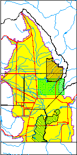
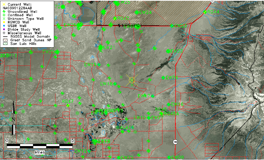
| USGS County | Alamosa County |
| USGS Map Name | DRY LAKES |
| USGS Map Scale | 24000 |
| Elevation and Depth Data |
|---|
| Ground Elevation (ft NAVD88) | 7544.15000000000 |
| Elevation Data Source | USGS GWSI database |
| USGS Ground Elevation (ft NGVD29) | 7540.00 |
| 1/3-Arc Second NED Ground Elevation (ft NAVD88) | 7551.91 |
| 1-Arc Second NED Ground Elevation (ft NAVD88) | 7551.04 |
| SRTM Ground Elevation (ft NAVD88) | 7558.86 |
| Total Depth (ft) | 100.00 |
| USGS Hole Depth (ft) | 100.00 |
| USGS Well Depth (ft) | 100.00 |
| Model Layer | 2 |
| Model Layer Source | Well Depth |
| Depth of Bottom of Layer 1 | 86 |
| Depth of Bottom of Layer 2 | 434 |
| Depth of Bottom of Layer 3 | 1111 |
| Depth of Bottom of Layer 4 | 2954 |
| Additional Well Information | Production, Logs, Geohydrology, Construction |
| Aquifer Information |
|---|
| Aquifer Type | Confined |
| Aquifer Type Source | TD Elevation/Model Layer |
| USGS Primary Aquifer | Cenozoic Erathem |
| USGS Hydrologic Unit | San Luis |
| USGS Data Available | Water-level (GW.LEV) |
| Water-level Database Information |
|---|
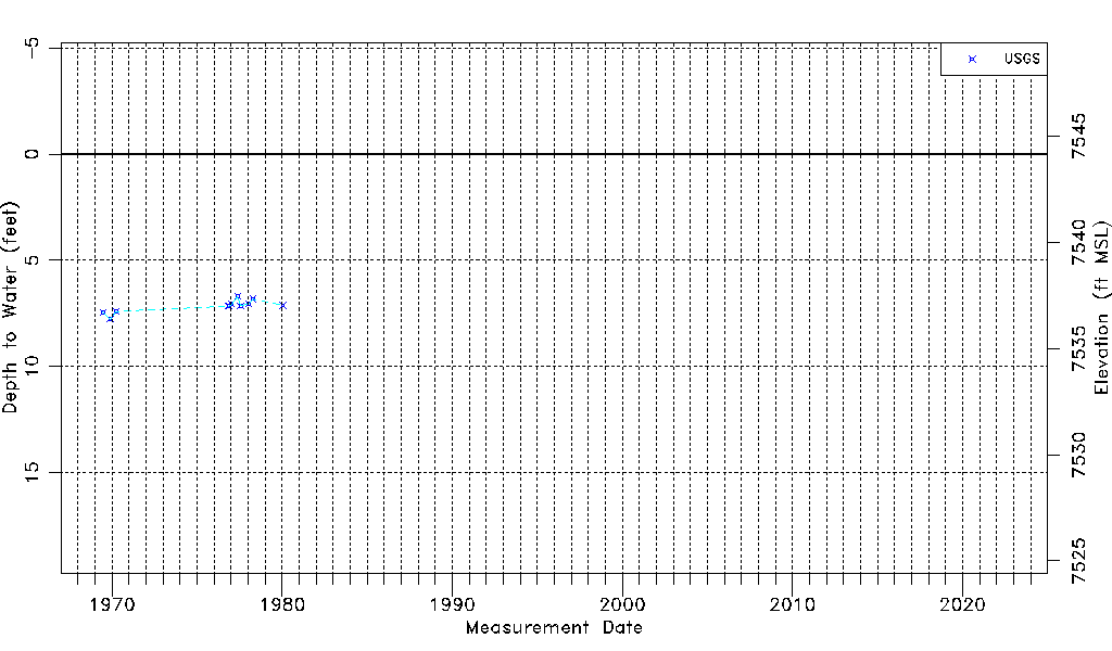
| Water-level Count | 11 |
| Water-level Date Range | 06/24/1969 thru 01/16/1980 |
| Monitored within the last 18 months | No, most recently on 01/16/1980 |
| Depth-to-Water Range (ft) | 6.70 to 7.77 |
| Water Table Elevation Range (ft NAVD88) | 7536.38 to 7537.45 |
| Water-Level-Source:Number-of-Measurements | USGS:11 |